
🌤 Weather at Birch Coulee Battlefield by season
| Spring | Summer | Fall | Winter |
|---|---|---|---|
| 22–70 °F | 58–84 °F | 24–74 °F | 6–28 °F |
Each range runs from the coldest monthly average low to the warmest monthly average high in that season (1991-2020 climate normals), measured at Redwood Falls Municipal Airport, 6 mi away, elevation 1,021 ft. Conditions at the park can differ from the station, especially where elevation differs — check a forecast before you go.

🏆 U.S.-Dakota War Battlefield — Site of the September 1862 Battle of Birch Coulee, which the Minnesota Historical Society calls one of the hardest-fought battles of the U.S.-Dakota War
Birch Coulee Battlefield is a Minnesota Historical Society (MNHS) historic site near Morton, managed by the Renville County Historical Society. It is not part of Minnesota’s state park system. On September 1, 1862, a burial detail of 160 to 170 soldiers and civilians under Major Joseph R. Brown left Fort Ridgely. About 200 Dakota soldiers surrounded their camp near Birch Coulee Creek, and the siege lasted nearly 36 hours, until Henry Sibley’s reinforcements arrived on the morning of September 3. MNHS counts 13 men and 90 horses killed and more than 50 people wounded on the U.S. side, and 2 recorded Dakota deaths.
Visitor Information
| Detail | Information |
|---|---|
| Location | Junction of Renville County Highways 2 and 18, off US 71, 3 miles north of Morton, MN |
| Entry Fee | Free admission and free parking (MNHS, as of October 2026) |
| Battle | September 2–3, 1862 (siege of nearly 36 hours) |
| Trail | Self-guided trail of about ¾ mile, packed gravel and level |
| Managed by | Renville County Historical Society (MNHS historic site) |
| Former Name | Birch Cooley Battle Field State Memorial Park |
Frequently Asked Questions
What was the U.S.-Dakota War?
Late annuity payments promised in the 1851 treaties, missing agricultural aid and the limits of reservation life left many Dakota hungry and distrustful, while settlers occupied their former lands. In August 1862 Dakota soldiers attacked settlements in the Minnesota River Valley. The war lasted only a few weeks, about 500 settlers and soldiers died, and the Dakota population in Minnesota fell from more than 7,000 to 374 by 1866 (historians Rubenstein and Woolworth, quoted in the MnDOT historic roadside inventory for Camp Release).
About Birch Coulee Battlefield
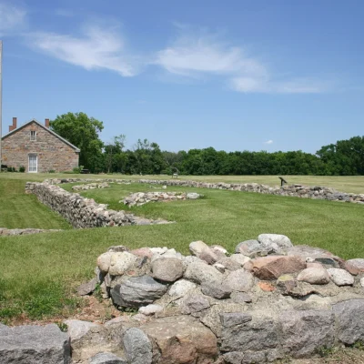
The battlefield lies on open prairie above Birch Coulee Creek in Renville County. Its self-guided trail tells the story of the battle from two perspectives: that of Captain Joseph Anderson of the burial detail and that of Wamditanka (Big Eagle), a Dakota leader in the attack. A marker lists the names of the members of the burial detail. Minnesota set the site aside in 1929 as Birch Cooley Battle Field State Memorial Park; the old spelling “Cooley” survives in the name of Birch Cooley Township.
Things to Do
Walk the self-guided trail (about ¾ mile, packed gravel and level), read the interpretive markers from both perspectives, and look out over the recreated prairie where the camp stood. Admission and parking are free (MNHS, as of October 2026).
Make it a road trip: Pair a visit with Fort Ridgely State Park (a short drive away).
🪦 Visit Birch Coulee Battlefield
Hours, directions and programs from the Minnesota Historical Society.
Wildlife & Nature
Birch Coulee Battlefield is covered by recreated prairie. Expect open grassland with little shade, so bring a hat and water on summer days.
Nearby Attractions
Morton — about 3 miles south. Lower Sioux Agency and Historic Fort Ridgely — two more MNHS historic sites of the U.S.-Dakota War in the Minnesota River Valley.
Park Map
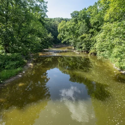

Photos of nearby places: authors and licences are listed on our photo credits pages.


Park photos: authors and licences are listed on our Minnesota photo credits page.
Top Tours & Activities around Minneapolis-Saint Paul (about 90 mi away)
 from $79
 from $125
 from $195