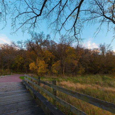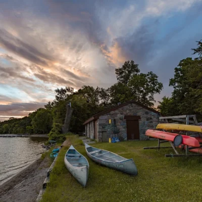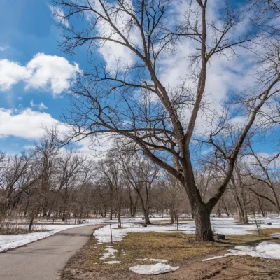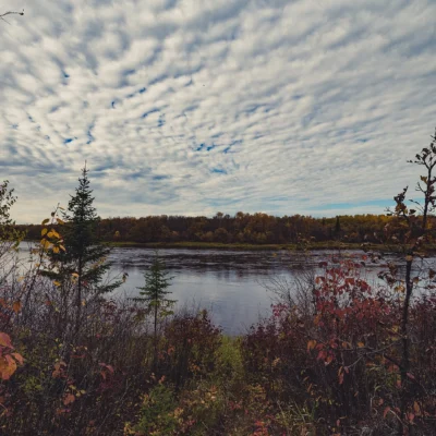
🌤 Weather at Joseph R. Brown State Wayside by season
| Spring | Summer | Fall | Winter |
|---|---|---|---|
| 20–71 °F | 55–85 °F | 22–75 °F | 3–29 °F |
Each range runs from the coldest monthly average low to the warmest monthly average high in that season (1991-2020 climate normals), measured at Granite Falls, 14 mi away, elevation 930 ft. Conditions at the park can differ from the station, especially where elevation differs — check a forecast before you go.

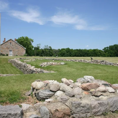
🏚️ Granite ruins, 1861 — The ruins of Joseph R. Brown’s three-and-a-half-story granite house on the Minnesota River bluff, burned at the start of the U.S.-Dakota War of 1862.
Visitor Information
| Detail | Information |
|---|---|
| Location | County Road 15, Sacred Heart Township, Renville County, MN |
| Established | 1937 as Joseph R. Brown Memorial Park; renamed a state wayside in 1969 |
| What you see | Granite foundation walls of an 1861 house, a well and a 1959 marker |
| Historic listing | National Register of Historic Places (Joseph R. Brown House Ruins) |
Sources: Minnesota Statutes § 85.013, subd. 14 and the 1985 National Register nomination, checked October 2026.
About Joseph R. Brown State Wayside
Joseph R. Brown State Wayside protects the ruins of the house Joseph R. Brown built in 1861 on the north side of the Minnesota River in Renville County. Brown came to Minnesota in 1819 as a drummer boy with the troops sent to build Fort Snelling and went on to work as a fur trader, lumberman, legislator, newspaper editor, land speculator and inventor. From 1857 to 1861 he served as U.S. Indian agent for the Dakota, and his wife, Susan Frenier Brown, was of Dakota descent.
After losing the agency post in 1861, Brown had a crew under Leopold Wohler build a three-and-a-half-story, 19-room house of pinkish granite quarried near the site. It is the earliest house in Minnesota known to have been built of quarried granite, and a visitor nicknamed the estate “Farther-and-Gay Castle.” Joseph and Susan Brown lived there with their twelve children.
The House in 1862
The house stood for only about a year. When the U.S.-Dakota War broke out on August 18, 1862, Joseph Brown was in New York promoting his steam-powered wagon. The next morning Susan Brown, the children, hired help and neighbors, 27 people in all, fled by wagon toward Fort Ridgely. A war party stopped them six miles from the house; Susan Brown called on her Sisseton relatives, the men were allowed to escape, and the women and children were taken to Little Crow’s camp. They were released on September 26, 1862, at Camp Release west of Montevideo. The house was set on fire and its furnishings were destroyed or taken.
What You See Today
Over the following decades, local farmers hauled away much of the stone. The Division of State Parks excavated the site in 1938 and stabilized the ruins in 1939, adding newly quarried granite to the upper foundation and laying a row of bricks to mark the interior walls. The 1985 National Register nomination describes the outer walls as clearly visible, with the north wall standing about 12 feet high, a granite-ringed well near the southeast corner, and a 1959 marker with a cast-metal sketch of the house as it once looked. The ruins sit about 200 yards below the top of the river bluff and about a quarter mile from the river, with a commanding view of the valley.
Getting There
The wayside is on the north side of Renville County Road 15, about 6 miles south of the town of Sacred Heart (straight-line). The park’s coordinates are 44.6964, -95.3229.
Frequently Asked Questions
Who was Joseph R. Brown?
Joseph R. Brown was a Minnesota pioneer who arrived in 1819 as a drummer boy at Fort Snelling and became a fur trader, legislator, newspaper editor, inventor and, from 1857 to 1861, U.S. Indian agent for the Dakota.
What happened to the Brown house?
It was set on fire in August 1862, at the start of the U.S.-Dakota War, about a year after it was finished; the family survived and was released at Camp Release on September 26, 1862.
Can you still see the ruins?
Yes. The granite foundation walls, stabilized by the Division of State Parks in 1939, remain on the river bluff along County Road 15.
Nearby parks: If you have extra time, Fort Ridgely State Park is within about an hour’s drive, and Flandrau State Park is elsewhere in the state.
Keep exploring: our full Minnesota state parks guide.
🏚️ Visit Joseph R. Brown State Wayside
Granite ruins of an 1861 frontier house above the Minnesota River.

🐾 Dogs & Pets at Joseph R. Brown State Wayside
- Pets allowed? statewide rule
- Pets are welcome in Minnesota state parks and recreation areas as long as they are leashed and personally attended at all times.
- Leash rule statewide rule
- Leash six feet or shorter (or portable enclosure) required at all times.
- Beaches & swim areas statewide rule
- Only service animals are allowed in beach areas — pets are prohibited on swim beaches statewide.
- Cabins & lodging statewide rule
- Only service animals are allowed in state park lodging, camper cabins, yurts and tipis — no pet-friendly cabin program.
- Statewide exceptions statewide rule
- Emotional support/therapy animals do not qualify as service animals and are prohibited from park buildings.
Are dogs allowed at Joseph R. Brown State Wayside?
Pets are welcome in Minnesota state parks and recreation areas as long as they are leashed and personally attended at all times. Individual parks can post stricter rules — check signage on arrival.
Rules verified July 2026 via dnr.state.mn.us. More: Minnesota state parks guide · Dog rules in all 50 states compared