

🌤 Weather at City of Rocks State Park by season
| Spring | Summer | Fall | Winter |
|---|---|---|---|
| 34–83 °F | 56–92 °F | 34–84 °F | 27–60 °F |
Each range runs from the coldest monthly average low to the warmest monthly average high in that season (1991-2020 climate normals), measured at Faywood, 6 mi away, elevation 5,251 ft. Conditions at the park can differ from the station, especially where elevation differs — check a forecast before you go.

🏆 City of Rocks State Park — 680 acres of otherworldly volcanic rock formations (40-ft pinnacles sculpted over 34.9 million years) in Grant County, New Mexico — featuring campsites nestled among the rocks, an astronomical observatory with 14-inch telescope (first in NM state park system), internationally recognized dark skies, the Hydra Trail, Table Mountain Trail + Cienega Trail, a desert botanical garden (yucca, century plants, cacti), 120+ bird species (golden eagles, hawks), Mimbreno archaeological heritage (750–1250 AD), and Butterfield Overland Mail Route history.
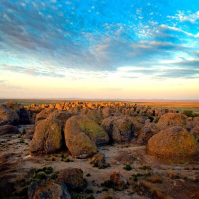
City of Rocks State Park is one of the most surreal landscapes in the American Southwest — massive volcanic rock pinnacles rising up to 40 feet from the desert floor, sculpted by 34.9 million years of wind and water erosion into a maze-like “city” of monoliths, lanes, and courtyards. Found in only a few places worldwide, this geological wonder in southern New Mexico offers an unforgettable camping experience with internationally acclaimed dark skies and the state park system’s first astronomical observatory.
Visitor Information
| Detail | Information |
|---|---|
| Location | Grant County, NM — between Deming + Silver City |
| Size | 680 acres |
| Rock Age | 34.9 million years — Emory Caldera volcanic ash-flow tuff |
| Formation Height | Up to 40 feet |
| Dark Sky | Internationally recognized — exceptional stargazing |
| Observatory | 14-inch telescope — first in NM state park system |
Activities
| Activity | Details |
|---|---|
| Camping | Developed sites among the rocks — picnic tables, grills, hot showers |
| Hiking/Biking | Hydra Trail, Table Mountain, Cienega Trail |
| Stargazing | Observatory programs — laser-guided cosmos tours (w/ National Public Observatory) |
| Birding | 120+ species — golden eagles, hawks, desert songbirds |
| Botanical Garden | Desert natives — yucca, century plants, cow’s tongue + bunny ear cacti |
| Photography | Sculptural rock forms — sunrise/sunset golden hour spectacular |
| Rock Scrambling | Explore the “city” of monoliths + courtyards |
History & Heritage
| Era | Details |
|---|---|
| Mimbreno People | 750–1250 AD — pottery shards + arrowheads found |
| Spanish Conquistadors | Carved crosses into the rocks |
| Butterfield Mail Route | 19th-century overland mail landmark |
Frequently Asked Questions
How were the rock formations created?
The formations are volcanic ash-flow tuff from a massive eruption of the Emory Caldera approximately 34.9 million years ago. Over millions of years, wind and water erosion sculpted the hardened tuff into the maze-like pinnacles, lanes, and courtyards visible today — a geological phenomenon found in only a few locations worldwide.
Can I use the observatory?
Yes — the observatory (equipped with a 14-inch telescope) hosts astronomy programs, often in partnership with the National Public Observatory. These include laser-guided tours of the cosmos. Programs are seasonal — check the park’s schedule for dates and times.
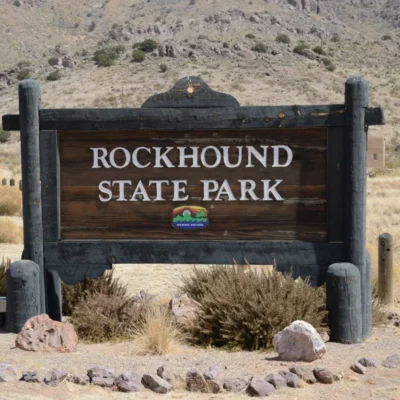
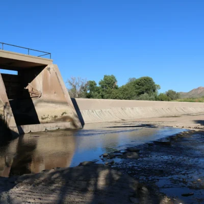
Nearby parks: If you have extra time, Rockhound State Park is within about an hour’s drive, and Percha Dam State Park is elsewhere in the state.
Camping reservations: Book campsites and cabins for New Mexico state parks online at newmexicostateparks.reserveamerica.com.

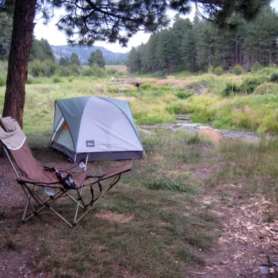
⛺ Camping at City of Rocks State Park: Campgrounds & Cabins
| Campsites | 49 sites — 49 developed sites total: reservable — 1 W+E (50 amp), 3 W+E (30 amp), 35 developed; non-reservation — 2 W+E (30 amp, sites E5/E6), 8 developed (sites 7, 20, 40–45, some with tent pads). No primitive camping, no stated RV length limit. |
|---|---|
| Reservations | newmexicostateparks.reserveamerica.com; non-reservation sites first-come-first-served. |
| Special sites | Group picnic shelter, group camping, visitor center with exhibits. One potable water spigot near vault toilet #3 on west side. |
| Season notes | Elevation 5,259 ft. No stated water shut-off or winter service info. |
Camping questions about City of Rocks State Park
Can you camp at City of Rocks State Park?
Yes. City of Rocks State Park has 49 campsites. 49 developed sites total: reservable — 1 W+E (50 amp), 3 W+E (30 amp), 35 developed; non-reservation — 2 W+E (30 amp, sites E5/E6), 8 developed (sites 7, 20, 40–45, some with tent pads). No primitive camping, no stated RV length limit.
How do you reserve a campsite at City of Rocks State Park?
newmexicostateparks.reserveamerica.com; non-reservation sites first-come-first-served.
Source: emnrd.nm.gov (verified July 2026). Details change seasonally — confirm when booking.
🐾 Dogs & Pets at City of Rocks State Park
- Pets allowed? statewide rule
- Pets are allowed at most New Mexico state parks and must be on a leash at all times.
- Leash rule statewide rule
- Leash required at all times, maximum 10 feet in length
- Statewide exceptions statewide rule
- Only service dogs are allowed at Rio Grande Nature Center and Living Desert Zoo & Gardens State Parks; pets may not be left unattended
Are dogs allowed at City of Rocks State Park?
Pets are allowed at most New Mexico state parks and must be on a leash at all times. Individual parks can post stricter rules — check signage on arrival.
Rules verified July 2026 via emnrd.nm.gov. More: New Mexico state parks guide · Dog rules in all 50 states compared
Park Location
Plan your gear for City of Rocks State Park
From our editorial guides, matched to this park’s activities:

Top Tours & Activities Near El Paso
 from $3
 from $65
 from $10