
🏆🏆 Off-Road Paradise — 200+ acres of OHV terrain near Sacramento for dirt bikes, ATVs, and 4x4s
Clay Pit State Vehicular Recreation Area provides off-highway vehicle (OHV) recreation on over 200 acres of varied terrain near Sacramento. The park features clay and dirt surfaces offering a range of difficulty levels for dirt bikes, ATVs, and 4×4 vehicles. Its proximity to Sacramento makes it one of the most accessible OHV areas in Northern California.
Visitor Information
| Detail | Information |
|---|---|
| Location | Near Sacramento, CA |
| Size | 200+ acres |
| Entry Fee | $5 per vehicle |
| Vehicles | Dirt bikes, ATVs, 4x4s |
Frequently Asked Questions
Do I need a green sticker?
All OHVs must have current California OHV registration (green or red sticker). Street-legal vehicles need standard registration. Helmets and safety gear are required.
$a
What was hydraulic mining?
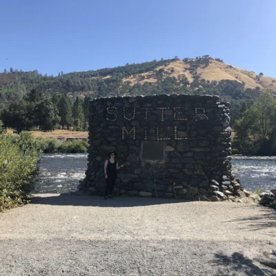
Hydraulic mining used high-pressure water cannons (monitors) to blast entire hillsides into sluices — extracting gold at enormous environmental cost. It moved more earth than the Panama Canal. The practice was banned in 1884 after debris choked rivers and flooded farms downstream — the first major environmental lawsuit in US history.
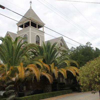
Keep exploring: The closest neighbors are Folsom Powerhouse State Historic Park (a short drive away) and Black Miners Bar (a short drive away).
🏍️ Visit Clay Pit SVRA
200+ acres of OHV terrain — dirt bikes, ATVs, and 4×4 action near Sacramento.
About Clay Pit SVRA
Clay Pit State Vehicular Recreation Area near Oroville offers exciting OHV riding in the Sierra Nevada foothills. The park features challenging terrain with steep hills, clay banks, and technical trails carved from former clay mining operations.
Things to Do
OHV riding for motorcycles, ATVs, and 4×4 vehicles. The clay terrain creates extra challenge when wet. Open year-round, best in spring and fall.
Getting There
Clay Pit State Vehicular Recreation Area near Oroville in Butte County provides off-highway vehicle recreation on former clay mining land. The area’s clay deposits were formed from volcanic ash deposited 3-4 million years ago. Oroville Dam — tallest in the United States at 770 feet — is nearby. The 2017 Oroville Dam spillway crisis forced evacuation of 188,000 people.
Insider Tips
OHV playground: Clay Pit SVRA near Oroville provides off-highway vehicle recreation on challenging clay terrain. Pro tip: The clay soil creates unique riding conditions — slippery when wet, hard-packed when dry. Gold Country: The Oroville area was a major Gold Rush destination — the Oroville Dam (770 feet, tallest in the US) was built on hydraulic mining debris that reshaped the landscape.
Best Time to Visit
Spring/fall: Best conditions — not too wet, not too dusty. Summer: Hot but rideable. Winter: Wet clay makes for extreme conditions. Weekdays: Fewer riders on the trails.
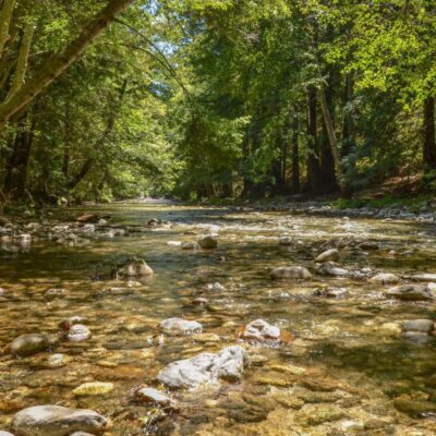
Wildlife & Nature
Clay Pit SVRA — 228 acres in the Klamath Mountains region — provides off-highway vehicle recreation on varied terrain. The site — a former clay mining operation — offers trails through mixed forest and open areas. Black-tailed deer and black bears inhabit the surrounding forest. Red-tailed hawks and turkey vultures soar overhead.
Nearby Attractions
The Klamath Mountains — a biodiversity hotspot — have some of the most species-rich conifer forests in North America. Whiskeytown NRA and Shasta Lake are within the region. Redding — nearby — has the Sundial Bridge.

Park Location


Top Tours & Activities Near Sacramento
 from $120
 from $1,300
 from $155