🏆 Official Guide: Cutts Island Marine State Park — A water-access-only island in Washington’s South Puget Sound, known locally as “Deadman’s Island” — a paddler’s paradise with harbor seals, tide pools, and dramatic tidal beaches.
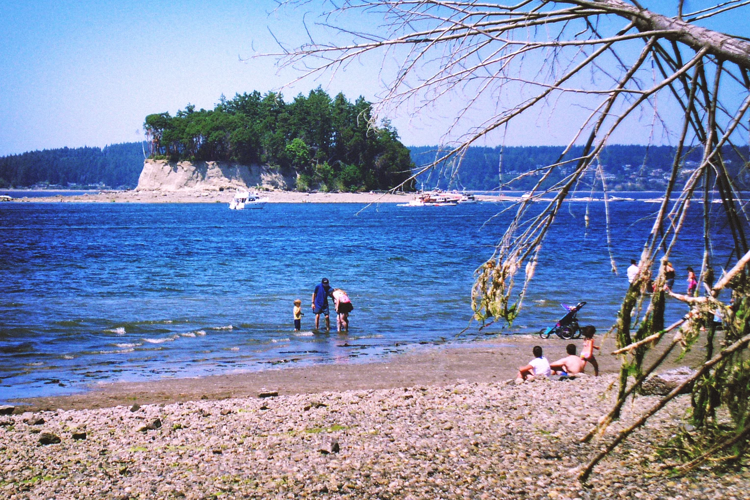
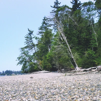
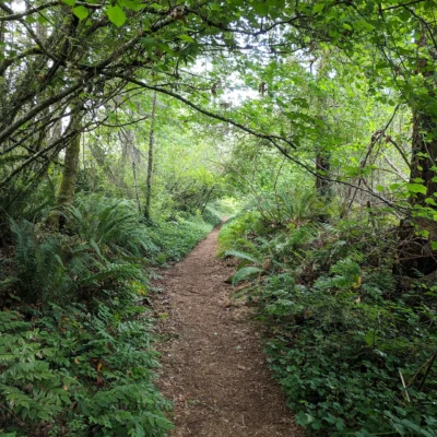
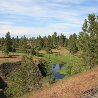
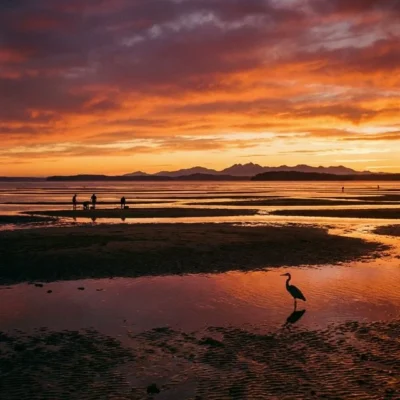
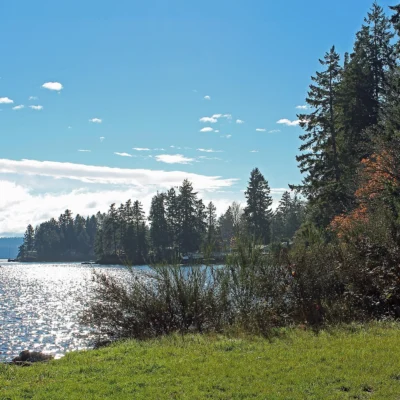
Cutts Island Marine State Park, locally known as “Deadman’s Island,” is a small, undeveloped island in Carr Inlet in the South Puget Sound. Accessible only by water, this marine park rewards kayakers and paddlers with sandy beaches that emerge at low tide, rich intertidal life, and frequent harbor seal sightings.
Visitor Information
| Detail | Information |
|---|---|
| Location | Carr Inlet, South Puget Sound, Pierce County, WA |
| Access | Water-only (kayak, canoe, boat) |
| Hours | 8:00 AM to dusk — day-use only |
| Camping | Not permitted |
| Facilities | None — pack in/pack out |
| Associated Park | Kopachuck State Park (mainland facilities) |
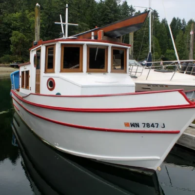
Getting There by Kayak
Popular launch points for paddling to Cutts Island include:
| Launch Point | Paddle Distance | Difficulty |
|---|---|---|
| Kopachuck State Park | ~1 mile | Easy-Moderate |
| Wauna/Purdy Spit | ~1.5 miles | Moderate |
| Fox Island Boat Ramp | ~2 miles | Moderate |
Wildlife
Cutts Island is a wildlife-rich marine environment:
| Species | Notes |
|---|---|
| Harbor Seals | Frequently haul out on beaches — maintain 100-yard distance (federal law) |
| Great Blue Herons | Common along shoreline |
| Black Oystercatchers | Rocky intertidal areas |
| Intertidal Life | Crabs, anemones, clams, sea stars |
| Seal Pups (seasonal) | Rest on shore during pupping season — do not approach |
Activities
| Activity | Details |
|---|---|
| Kayaking | Primary access method; circumnavigation of island |
| Beachcombing | Sandy spit at low tide; driftwood, shells |
| Tide Pool Exploration | Rich intertidal zone at low tide |
| Wildlife Watching | Harbor seals, shorebirds, marine life |
| Photography | Dramatic tidal changes; Mount Rainier views on clear days |
Frequently Asked Questions
Can I camp on Cutts Island?
No. Cutts Island Marine State Park is day-use only, open from 8:00 AM to dusk. There is no overnight camping. For overnight stays, nearby Kopachuck State Park offers camping on the mainland with easy paddling access to the island the next day.
Why is it called Deadman’s Island?
The local nickname “Deadman’s Island” is a historical name that predates its designation as a state park. The official name is Cutts Island Marine State Park. Despite the ominous nickname, the island is a peaceful, beautiful destination popular with kayakers and nature enthusiasts.
Do I need a Discover Pass?
A Washington State Discover Pass is not required for water-based access to Cutts Island itself. However, if you launch from a state park boat ramp (such as Kopachuck), a Discover Pass is required for vehicle parking at the launch site.
Make it a road trip: Pair a visit with Kopachuck State Park (a short drive away) or Penrose Point State Park (a short drive away).
Camping reservations: Book campsites and cabins for Washington state parks online at washington.goingtocamp.com.

Park Location

Top Tours & Activities Near Seattle
 from $84
 from $289
 from $599