
🏆🏆🏆🏆🏆 War of 1812 Stronghold — Strategic island at the head of the St. Lawrence River — site of the Battle of the Thousand Islands during the War of 1812
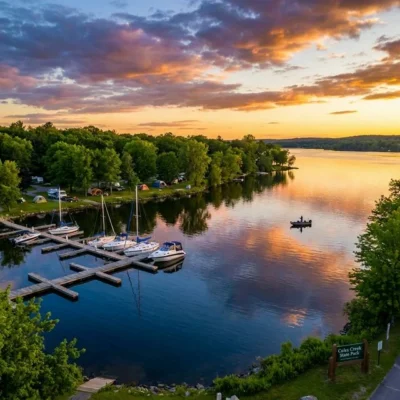
Galop Island State Park preserves a historically significant island at the head of the St. Lawrence River near Ogdensburg — site of important military actions during the War of 1812. The island controlled the Galop Rapids — the first major rapids on the St. Lawrence, which forced all river traffic to slow down and navigate carefully. This strategic chokepoint was fortified by both American and British forces. “Galop” (French for “gallop”) described the speed of the rapids. The St. Lawrence River is one of the great waterways of North America — draining the entire Great Lakes system (21% of the world’s surface freshwater!) into the Atlantic.
Visitor Information
| Detail | Information |
|---|---|
| Location | St. Lawrence County, NY |
| Entry Fee | Free |
| Battle | War of 1812 — strategic rapids! |
| River | St. Lawrence — 21% world freshwater! |
About Galop Island
Galop Island State Park in St. Lawrence County preserves an island at the head of the international rapids where the St. Lawrence River narrows and accelerates. “Galop” (French for “gallop”) describes the swift current that challenged 18th-century fur trade canoes. The island sits near the Canadian border in the heart of the St. Lawrence Seaway — the engineering marvel that opened the Great Lakes to ocean shipping in 1959.
Things to Do
Boat-in camping, fishing, watching international shipping traffic on the St. Lawrence Seaway, kayaking the river, and experiencing the Franco-American history of the St. Lawrence corridor.
Insider Tips
Lost village: The St. Lawrence Seaway project (1954-1959) flooded entire villages to create the shipping channel — communities were relocated or submerged. Pro tip: Scuba divers explore the underwater ruins of the “Lost Villages” — foundations, roads, and bridge abutments remain on the river bottom. International border: The St. Lawrence forms the US-Canada border here — you can see Ontario from the island.
Best Time to Visit
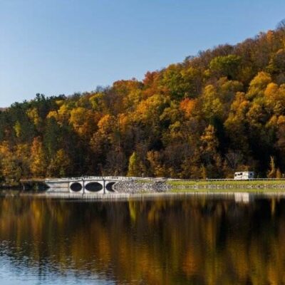
Summer: Boating and diving season. Fall: River foliage. Spring: River fishing. Winter: Frozen river views.
Frequently Asked Questions
What were the Lost Villages?
When the St. Lawrence Seaway was built (1954-1959), the rising water flooded six Ontario communities and portions of US shoreline — displacing 6,500 people. Homes were relocated or demolished. Some structures were left underwater — divers can still see foundations, roads, and cemeteries beneath the river. The flooding was devastating for communities but created the seaway that allows ocean ships to reach the Great Lakes.
Nearby state parks: If you have extra time, St. Lawrence State Park Golf Course is a short drive away, and Jacques Cartier State Park is a short drive away.
Wildlife & Nature
Galop Island State Park — on the St. Lawrence River — preserves an island accessible only by boat. The island — in the Thousand Islands region — has undeveloped forest and rocky shoreline. Bald eagles nest nearby. Great blue herons fish the channels. Common terns dive for minnows. The river provides excellent bass and pike fishing.
Nearby Attractions
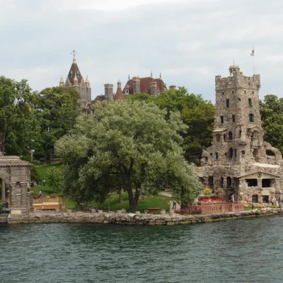
Thousand Islands — surrounding. Ogdensburg — nearby. Prescott, Ontario — across the river in Canada. Brockville, Ontario — across the river — has the Brockville Railway Tunnel.

Park Location

Top Tours & Activities Near Clayton
 from $29
 from $84
 from $32