🌤 Weather at Sherwood Forest State Natural Area by season
| Spring | Summer | Fall | Winter |
|---|---|---|---|
| 40–74 °F | 63–84 °F | 40–78 °F | 29–49 °F |
Each range runs from the coldest monthly average low to the warmest monthly average high in that season (1991-2020 climate normals), measured at Sewanee, 7 mi away, elevation 1,928 ft. Conditions at the park can differ from the station, especially where elevation differs — check a forecast before you go.

Sherwood Forest State Natural Area protects about 3,100 acres on the southern Cumberland Plateau in Franklin County, Tennessee. It lies within Head of the Crow State Park, which Tennessee dedicated in October 2025 from the Lost Cove section of the former South Cumberland State Park. Tennessee State Parks manages the natural area.
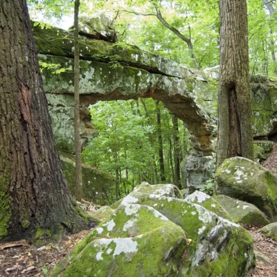
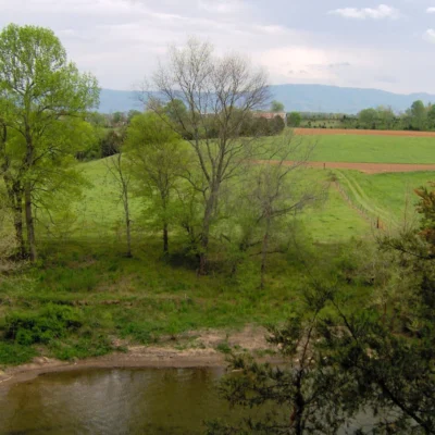
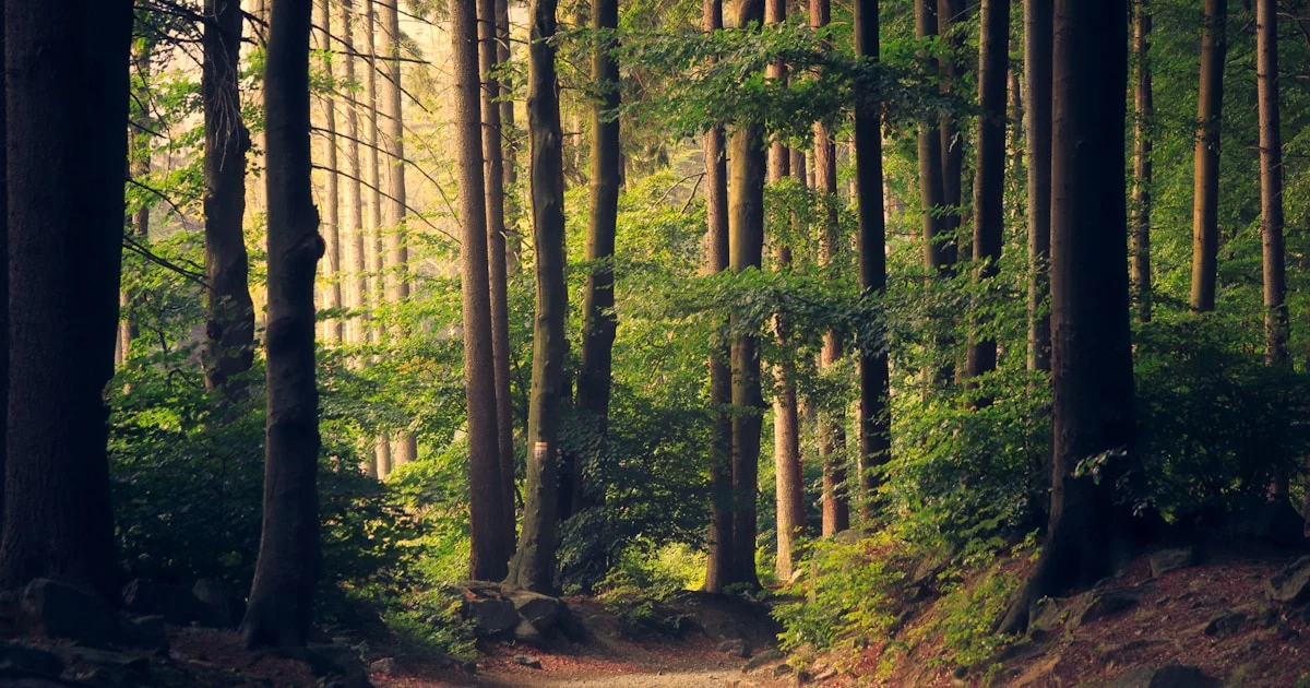
The Sherwood Day Loop is a 2.85-mile easy loop, mostly level with a few stairs. You walk a forested ridge past rock formations to several overlooks with long views of the Crow Creek Valley and to a natural bridge. The Pack Hollow Trail, rated moderate, follows sandstone bluff lines for 1.6 miles one way (3.2 miles out and back) and then descends into the north-facing slopes of Tom Pack Hollow. Both trails are open to hikers only.
Visitor Information
| Detail | Information |
|---|---|
| Location | Franklin County, TN (Head of the Crow State Park) |
| Size | About 3,100 acres |
| Entry Fee | No entrance fee listed (as of October 2026) |
| Sherwood Day Loop | 2.85 miles, easy |
| Pack Hollow Trail | 1.6 miles one way, moderate |
| Backcountry camping | 5 campsites and a group site on the park map |
How the Land Was Protected
The state bought the land in November 2016 from a mining company, which kept the right to mine limestone beneath it for 50 years. The Open Space Institute, the Tennessee Department of Environment and Conservation and their partners dedicated Sherwood Forest on November 1, 2017. At the dedication they named nine rare plant species, among them American ginseng and the federally endangered Morefield’s leather flower, plus caves with prehistoric pictographs dated to AD 966, 100-foot sandstone cliffs and the natural bridge. The mining company also donated 168 acres to offset its impact on habitat of the painted snake coiled forest snail. Leave plants and caves as you find them.
Frequently Asked Questions
Are there trails at Sherwood Forest?
Yes. Tennessee State Parks lists the 2.85-mile Sherwood Day Loop (easy) and the Pack Hollow Trail (1.6 miles one way, moderate). Both are hiking trails.
Can I camp at Sherwood Forest?
The Tennessee State Parks map shows five backcountry campsites and a group campsite in the natural area. Ask Head of the Crow State Park about permits and current rules before you go.
Is hunting allowed?
At the 2017 dedication the state said a large part of the property was open to deer and turkey hunting, with safety zones. Rules may have changed since the land became part of a state park, so check with the park and the current TWRA regulations.
Keep exploring: The closest neighbors are Hawkins Cove State Natural Area (about 6 miles away) and Head of the Crow State Park (about 7 miles away).
🌲 Visit Sherwood Forest SNA
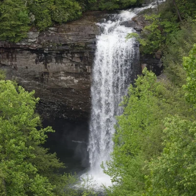
Natural bridge, sandstone bluffs and Crow Creek Valley overlooks in Head of the Crow State Park.
Best Time to Visit
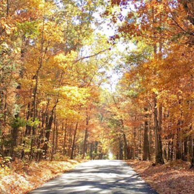
Fall: Foliage below the Crow Creek Valley overlooks. Winter: Bare trees open the longest views. Spring and summer: Shade on the ridge loop.
Sources: Tennessee State Parks map, trail and campsite data (Tennessee Department of Environment and Conservation), as of October 2026; Open Space Institute, November 1, 2017.

🐾 Dogs & Pets at Sherwood Forest State Natural Area
- Pets allowed? statewide rule
- Dogs, cats and other pets are permitted in Tennessee State Parks, including all campgrounds, if leashed, crated or otherwise under physical restrictive control at all times.
- Leash rule statewide rule
- 6 ft physical leash required; pets must not be left unattended
- Beaches & swim areas statewide rule
- Pets are prohibited on designated swimming beaches and at pools at all times
- Cabins & lodging statewide rule
- Pets prohibited in park lodges and cabins except designated pet-friendly units; each park offers a limited number of pet-friendly lodge rooms and one pet-friendly cabin ($20 per pet per night)
- Pet fees statewide rule
- No day-use or campground pet fee; $20 per pet per night in designated lodge rooms/cabins
- Statewide exceptions statewide rule
- Park management may post additional no-pet areas on trails; proof of rabies vaccination may be required
Are dogs allowed at Sherwood Forest State Natural Area?
Dogs, cats and other pets are permitted in Tennessee State Parks, including all campgrounds, if leashed, crated or otherwise under physical restrictive control at all times. Individual parks can post stricter rules — check signage on arrival.
Rules verified July 2026 via tnstateparks.com. More: Tennessee state parks guide · Dog rules in all 50 states compared
Park Map
Plan your gear for Sherwood Forest State Natural Area
From our editorial guides, matched to this park’s activities: