Trail of the Coeur d’Alenes
Idaho’s 73-Mile Paved Rail Trail — Trail of the Coeur d’Alenes, Mullan to Plummer Across Idaho Panhandle, Union Pacific Railroad Corridor, Lake Coeur d’Alene Shoreline, Silver Valley Mining History
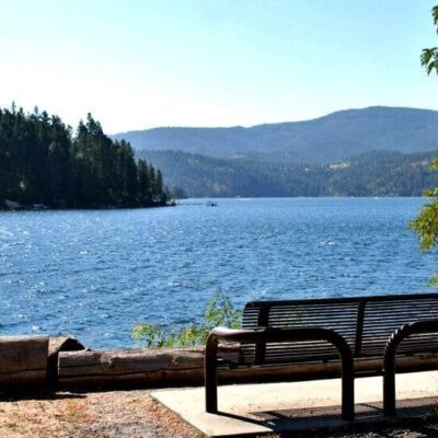
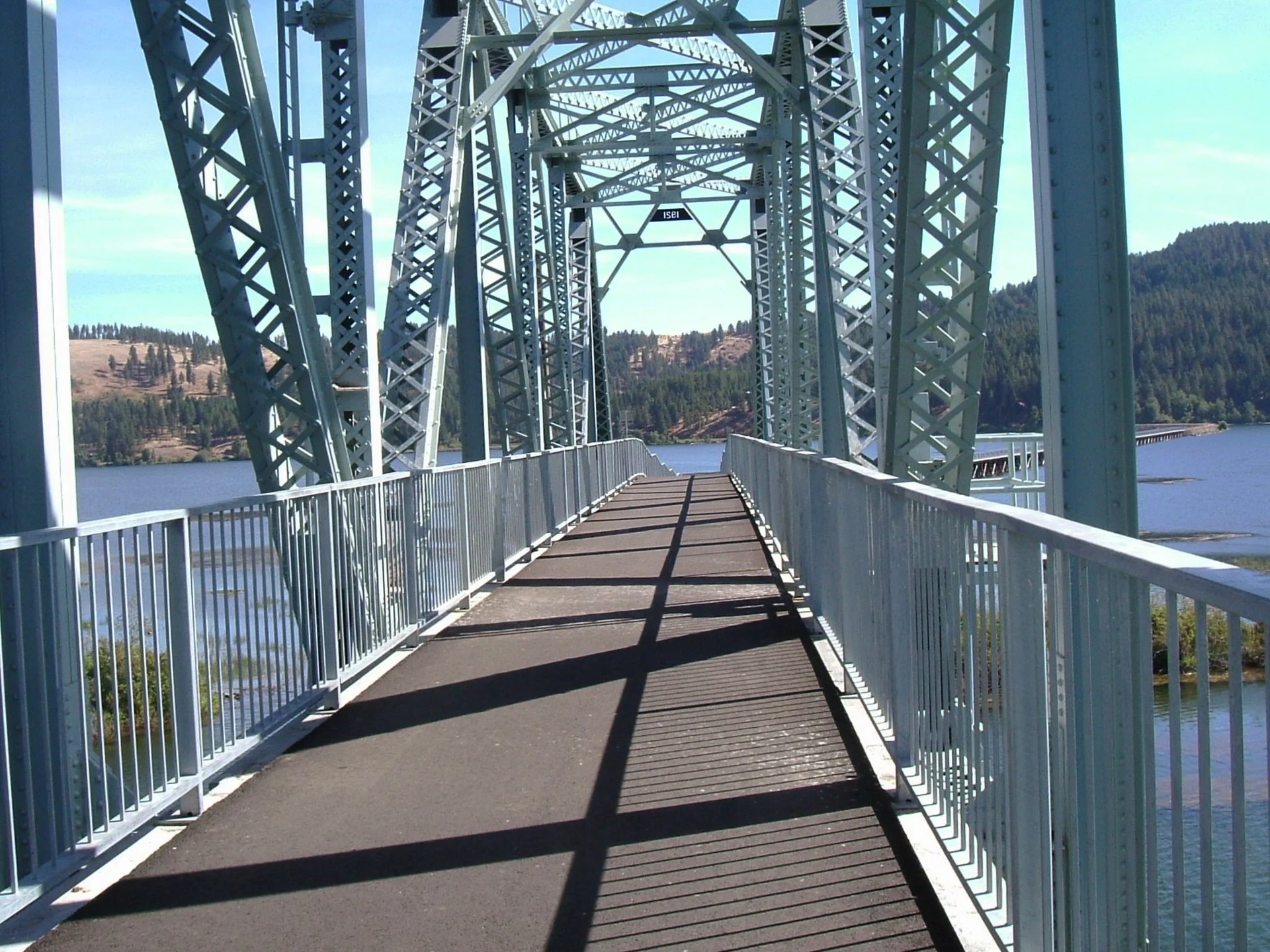
Trail of the Coeur d’Alenes is a 73-mile paved rail-trail stretching across the Idaho Panhandle from the mountain town of Mullan in the east to the prairie town of Plummer in the west. Following an old Union Pacific Railroad right-of-way, this fully paved trail is one of America’s premier long-distance cycling paths. Key features include 73 miles of smooth asphalt from Mullan to Plummer, passage through the historic Silver Valley mining district, stunning Lake Coeur d’Alene shoreline views and the Chatcolet Bridge, 20 developed trailheads and 20 scenic waysides, and free access with no fees required.
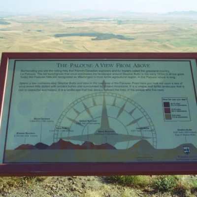
Three Distinct Landscapes
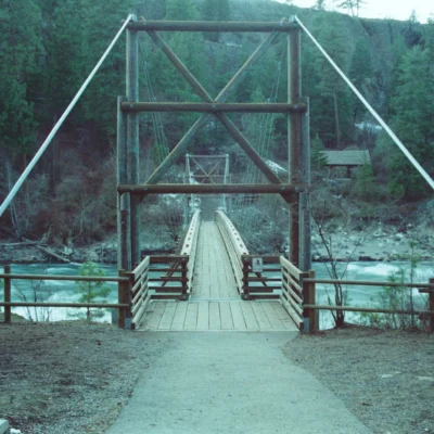
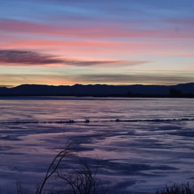
The trail traverses three dramatically different landscapes: the mountainous Silver Valley with its historic mining communities in the east, the scenic Coeur d’Alene River corridor with wetlands and chain-of-lakes in the center, and the Lake Coeur d’Alene shoreline and rolling Palouse prairie in the west.
Environmental Remediation
The trail is part of one of America’s largest environmental remediation projects. The former railroad corridor ran through the Bunker Hill Superfund site, and the paved trail serves as a cap over contaminated soils from a century of silver and lead mining. Riders are advised to stay on the paved path and wash hands before eating.
Frequently Asked Questions
Is the trail free?
Yes, there is no fee to use the Trail of the Coeur d’Alenes.
What is the speed limit?
The general speed limit is 15 mph. The trail is shared by cyclists, walkers, and inline skaters.
Insider Tips
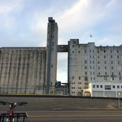
Superfund trail: The 73-mile trail follows a former railroad corridor through one of the nation’s largest Superfund sites — a century of silver mining contaminated the Coeur d’Alene River valley. Pro tip: The trail’s asphalt surface was partly motivated by containment — paving over contaminated soil. Silver Valley: The Coeur d’Alene mining district produced $5+ billion in silver, lead, and zinc over a century.
Best Time to Visit
Summer: Full trail season. Fall: Idaho foliage. Spring: Wildflowers. Winter: Cross-country skiing.
Frequently Asked Questions
What was the Silver Valley Superfund?
A century of silver, lead, and zinc mining in the Coeur d’Alene River basin contaminated 1,500 square miles — one of the largest Superfund sites in America. Tailings (mining waste) dumped into streams poisoned the river system with heavy metals. Lead contamination caused health problems in local communities, especially children. Cleanup has cost billions and will continue for decades. The trail was built partly as a beneficial reuse of the contaminated corridor.
Wildlife & Nature
Trail of the Coeur d’Alenes — a 73.2-mile paved rail-trail — one of the premier rail-trails in the US. The trail’s Silver Valley, Lake Coeur d’Alene, and wetlands support bald eagles, moose, and ospreys.
Nearby Attractions
Mullan to Plummer — spanning 73 miles. Lake Coeur d’Alene — along the trail.
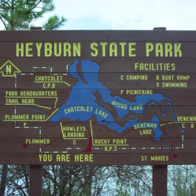
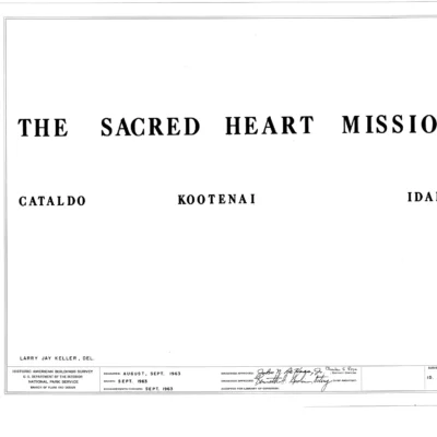
Nearby state parks: If you have extra time, Heyburn State Park is a short drive away, and Old Mission State Park is within about an hour’s drive.