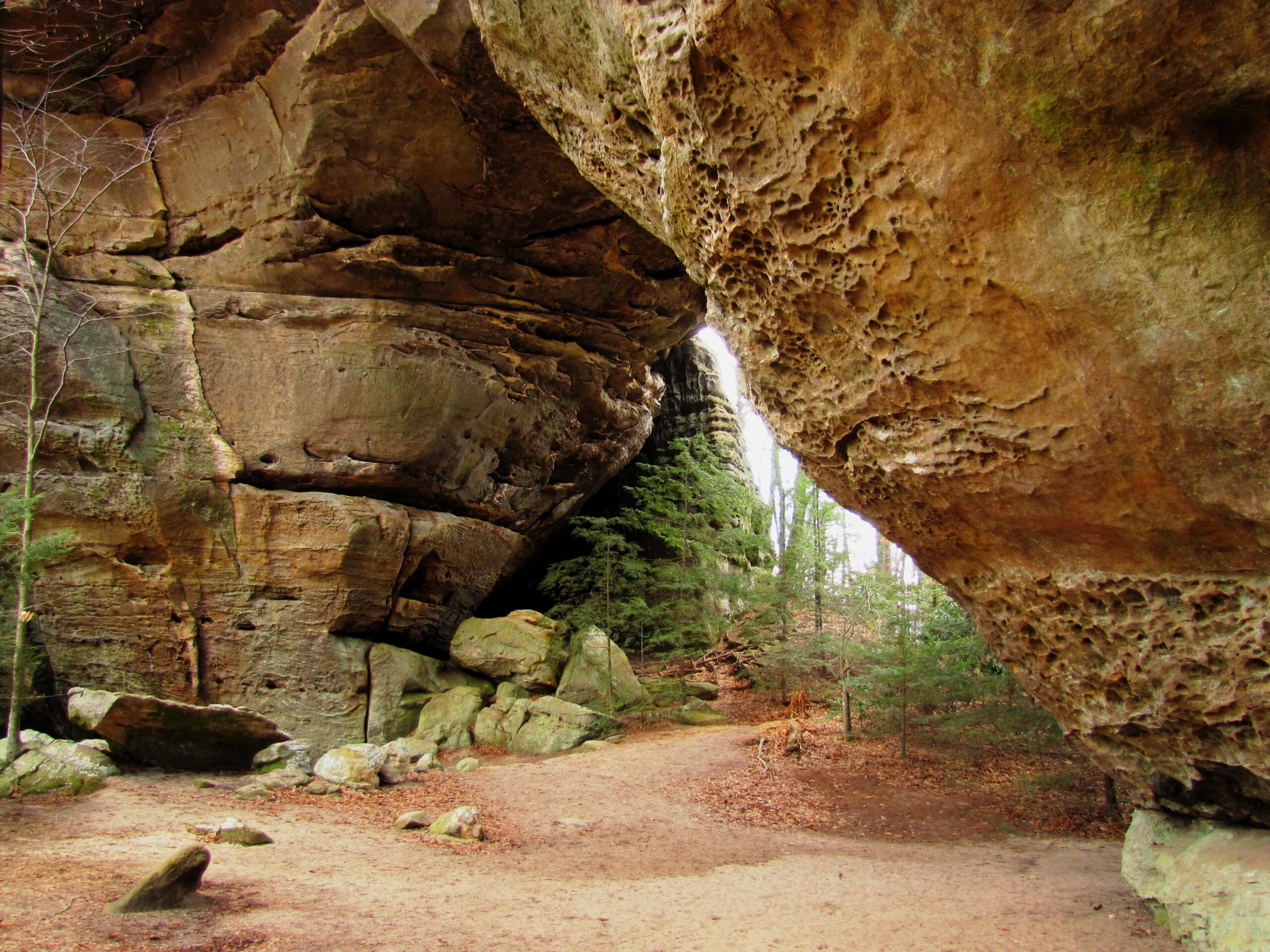
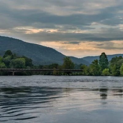
Photo: Brian Stansberry, CC BY 3.0, via Wikimedia Commons
Twin Arches State Natural Area
🌤 Weather at Twin Arches State Natural Area by season
| Spring | Summer | Fall | Winter |
|---|---|---|---|
| 33–74 °F | 59–83 °F | 34–78 °F | 24–48 °F |
Each range runs from the coldest monthly average low to the warmest monthly average high in that season (1991-2020 climate normals), measured at Pickett State Park, 3 mi away, elevation 1,625 ft. Conditions at the park can differ from the station, especially where elevation differs — check a forecast before you go.
Twin Arches State Natural Area is a Class II Natural Scientific State Natural Area of about 1,606 acres in Pickett and Scott counties, Tennessee. It lies inside the Big South Fork National River and Recreation Area and is managed by the National Park Service, not by Tennessee State Parks. The EPA places it in the Plateau Escarpment ecoregion (Level IV), part of the Southwestern Appalachians.
The National Park Service considers the Twin Arches the largest arches in the Big South Fork and quite possibly in the eastern United States. South Arch has a span of 135 feet and a clearance of 70 feet, North Arch a span of 93 feet and a clearance of 51 feet. Both formed through headward erosion along a narrow ridge.
Visitor Information
| Detail | Information |
|---|---|
| Designation | Class II Natural Scientific State Natural Area (TDEC) |
| Size | About 1,606 acres (TDEC boundary data) |
| Counties | Pickett and Scott counties |
| Managed by | National Park Service, Big South Fork National River and Recreation Area (TDEC data) |
| Trails | Twin Arches Trail, 0.7 mile to the arches; Twin Arches Loop Trail, 4.6 miles (NPS) |
| Ecoregion | Plateau Escarpment (EPA Level IV) |
Frequently Asked Questions
How do I get to the arches?
The Twin Arches Trail runs 0.7 mile from the trailhead to the arches, 1.4 miles out and back. The NPS rates it moderate and warns of steep wooden stairs and cliff edges.
What is the Twin Arches Loop Trail?
From the arches, the 4.6-mile loop descends about 400 feet to Charit Creek Lodge, which has restrooms and accommodations. It then follows Station Camp Creek to an old home site known as Jake’s Place and climbs back almost to the top of the plateau along the base of a cliff line. Large rock shelters along this stretch were once used by Native Americans, early settlers and niter miners. Back at the arches, climb the stairs between them and follow the Twin Arches Trail to the parking lot.
Who manages Twin Arches State Natural Area?
TDEC’s data place the natural area within the Big South Fork National River and Recreation Area, which the National Park Service manages. The trail details on this page come from the NPS.
Keep exploring: The closest park profiles are Pickett CCC Memorial State Park (about 3 miles), Pogue Creek Canyon State Natural Area (about 5 miles) and Sgt. Alvin C. York State Historic Park (about 12 miles). Distances are straight-line.
Before you go: Check current trail conditions with the National Park Service on its Twin Arches Loop Trail page.
Park Map
Plan your gear for Twin Arches State Natural Area
From our editorial guides, matched to this park’s activities:
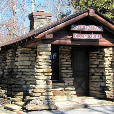
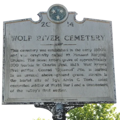
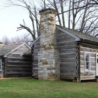
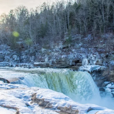
Photos of nearby places: authors and licences are listed on our photo credits pages.
Park photos: authors and licences are listed on our Tennessee photo credits page.


