
🌤 Weather at Champoeg State Park by season
| Spring | Summer | Fall | Winter |
|---|---|---|---|
| 38–66 °F | 51–81 °F | 39–75 °F | 34–50 °F |
Each range runs from the coldest monthly average low to the warmest monthly average high in that season (1991-2020 climate normals), measured at Rex 1 S, 3 mi away, elevation 515 ft. Conditions at the park can differ from the station, especially where elevation differs — check a forecast before you go.

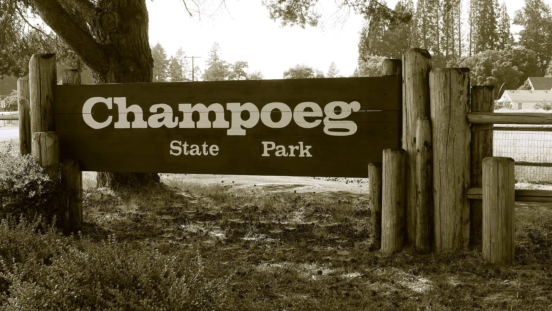
Champoeg State Park marks the birthplace of Oregon’s government—where settlers voted to establish the first American provisional government in 1843. Explore history along the scenic Willamette River with year-round camping, yurts, and cabins!
Oregon’s 1843 Vote
| History Highlight | Details |
|---|---|
| 🗳️ 1843 Vote | First provisional government formed |
| 🏘️ Old Champoeg | ~200 residents, 50 buildings |
| 🌊 1861 Flood | 23ft of water destroyed town |
| 🏛️ Today | Heritage museum & monuments |
Camping
| Accommodation | Details |
|---|---|
| 🔌 Full Hookup | 20 sites |
| ⚡ Electric + Water | 54 sites |
| ⛺ Tent Sites | 6 sites |
| 🏠 Yurts | 6 (3 pet-friendly) |
| 🏡 Cabins | 6 (3 pet-friendly) |
⚠️ 2025 Notice: B Loop campground CLOSED April 2025 – September 2025 for construction.
FAQ
Why is Champoeg historically important?
On May 2, 1843, settlers voted 52-50 to form the first American provisional government west of the Rockies—a pivotal moment in Oregon’s path to statehood!
Wildlife & Nature
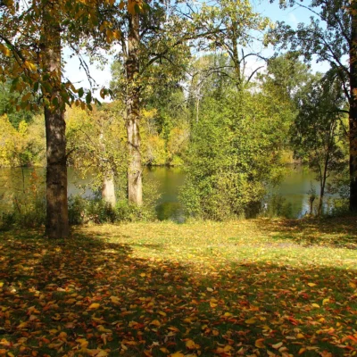
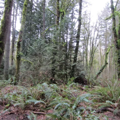
Champoeg State Park occupies the site where Oregon’s first provisional government was formed on May 2, 1843 — the vote that established American governance in the Pacific Northwest. The park’s 615 acres along the Willamette River protect floodplain forest, wetlands, and oak prairie. Oregon white oak — the state’s only native oak species — once dominated the Willamette Valley in vast savannas maintained by Native American burning. Less than 1% of original Willamette Valley oak habitat remains — making Champoeg’s oak groves critically important. Western gray squirrels — specialists on Oregon white oak acorns — are declining as their habitat shrinks. The Willamette River supports spring Chinook salmon and Pacific lamprey — ancient jawless fish unchanged for 450 million years.
Nearby Attractions
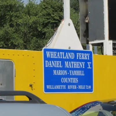
Willamette Valley Wine Country surrounds the park — with 700+ wineries producing world-class Pinot Noir. Newberg — “Gateway to Oregon Wine Country” — has the Hoover-Minthorn House (childhood home of President Herbert Hoover). St. Paul Rodeo — Oregon’s oldest and one of its most traditional — runs every July 4th weekend. Aurora Colony — a former 1850s utopian commune — now hosts antique shops. Wheatland Ferry — one of Oregon’s last cable ferries — crosses the Willamette nearby.
🏛️ Where Oregon Government Began
Reserve at Oregon State Parks.
Location & Getting There
Champoeg State Park is located in Oregon. The park’s coordinates are 45.2572, -122.9014. Check the park’s official website or your state parks app for detailed driving directions and GPS navigation tips.
Quick Facts
- Location: Oregon
- Coordinates: 45.2572, -122.9014
- Activities: Hiking, Camping, Fishing, Wildlife Viewing
- Pets: Allowed on leash in most areas (check local rules)
Explore More Oregon State Parks
Champoeg State Park is one of many outstanding state parks in Oregon. Discover more parks in our Best State Parks in Oregon guide, or use our Park Finder to search by activity, location, or features.
Make it a road trip: Pair a visit with Molalla River State Park (a short drive away) or Bradley State Scenic Viewpoint (a short drive away).

⛺ Camping at Champoeg State Park: Campgrounds & Cabins
| Campsites | 80 sites — 20 full-hookup sites, 54 electric sites w/ water, 6 tent sites w/ nearby parking, hiker/biker camp |
|---|---|
| Cabins & Lodging | 6 yurts (3 pet-friendly, 1 ADA-accessible) and 6 cabins (3 pet-friendly, all ADA-accessible); capacity and in-unit amenities not detailed on page |
| Pets | 3 of 6 yurts and 3 of 6 cabins pet-friendly |
| Reservations | oregonstateparks.reserveamerica.com or 800-452-5687, up to 6 months in advance |
| Special sites | 3 group picnic sites; 4 group tent sites (up to 25 people each, May 1-Oct 31); 1 group RV site w/ meeting hall; hiker/biker camp |
| Season notes | B Loop, yurts, cabins and RV meeting hall open year-round; A Loop closes seasonally; firewood restricted to local sources (within 10 mi) due to emerald ash borer quarantine |
Camping questions about Champoeg State Park
Can you camp at Champoeg State Park?
Yes. Champoeg State Park has 80 campsites. 20 full-hookup sites, 54 electric sites w/ water, 6 tent sites w/ nearby parking, hiker/biker camp.
How do you reserve a campsite at Champoeg State Park?
oregonstateparks.reserveamerica.com or 800-452-5687, up to 6 months in advance.
Are there cabins at Champoeg State Park?
6 yurts (3 pet-friendly, 1 ADA-accessible) and 6 cabins (3 pet-friendly, all ADA-accessible); capacity and in-unit amenities not detailed on page.
Are pets allowed at the Champoeg State Park campground?
3 of 6 yurts and 3 of 6 cabins pet-friendly.
Source: stateparks.oregon.gov (verified July 2026). Details change seasonally — confirm when booking.
🐾 Dogs & Pets at Champoeg State Park
Park policy: Champoeg is one of the Oregon parks with a designated off-leash area, so the 6-foot leash applies everywhere except that field. Three of the park's six yurts and three of its six cabins are pet-designated; the park brochure identifies them as yurts D, E and F and cabins C4, C5 and C6, and all yurts and cabins require a reservation.
- Pets allowed?
- Off-leash exercise field on site; 3 of 6 yurts and 3 of 6 cabins pet-friendly
- Leash rule statewide rule
- Leash no longer than 6 feet required in developed park areas
- Beaches & swim areas statewide rule
- Pets are allowed on most ocean beaches under direct control; western snowy plover nesting areas restrict pets March 15 - Sept. 15; leash required on the beach at some parks (e.g. Cape Lookout)
- Cabins & lodging statewide rule
- Designated pet-friendly yurts and cabins at many parks (South Beach has 14 pet-friendly yurts, Tugman 8); maximum two dogs and/or cats; $10 per night pet fee
- Pet fees statewide rule
- $10 per night for pet-friendly yurts/cabins; no pet fee for day use or campsites
- Park-specific rules
- The off-leash exercise field sits in the Riverside Day-use Area and the campground - that is the only spot in the park where your dog can come off the leash.
- Statewide exceptions statewide rule
- Pets prohibited at Dabney SRA, the Trail of Ten Falls at Silver Falls, and Shore Acres; off-leash areas at Stub Stewart, Willamette Mission, Elijah Bristow, Cottonwood Canyon and LaPine
Are dogs allowed at Champoeg State Park?
Off-leash exercise field on site; 3 of 6 yurts and 3 of 6 cabins pet-friendly.
Beyond that, Oregon’s statewide rules apply.
Rules verified July 2026 via stateparks.oregon.gov. More: Oregon state parks guide · Dog rules in all 50 states compared
Park Location
Plan your gear for Champoeg State Park
From our editorial guides, matched to this park’s activities:

Top Tours & Activities Near Portland
 from $128
 from $290
 from $122