
🏆🏆🏆🏆🏆 The exact point from which ALL land in Oregon and Washington is surveyed — the Willamette Stone marks the intersection of the Willamette Meridian and Willamette Base Line (1851). Every property description in OR and WA references this point!
Visitor Information
| Detail | Information |
|---|---|
| Location | Portland, Oregon |
| Entry Fee | Free (Oregon Coast) / Day-Use Permit |
About Willamette Stone
Willamette Stone State Heritage Site preserves the original survey monument — the Willamette Stone — that established the baseline for all land surveys in Oregon and Washington. Set in 1851, this unassuming stone marker in the West Hills of Portland is the initial point from which every legal property boundary in the Pacific Northwest was measured. It’s essentially the “Point Zero” of the entire region’s land grid.
Willamette Stone State Heritage Site in Multnomah County (Portland) preserves the Initial Point of the Willamette Meridian — the survey point from which all land in Oregon and Washington was measured and divided. Placed in 1851, this humble stone marker determined the boundaries of every property in the Pacific Northwest. It’s one of the most historically significant (yet little-known) sites in Oregon.
Things to Do
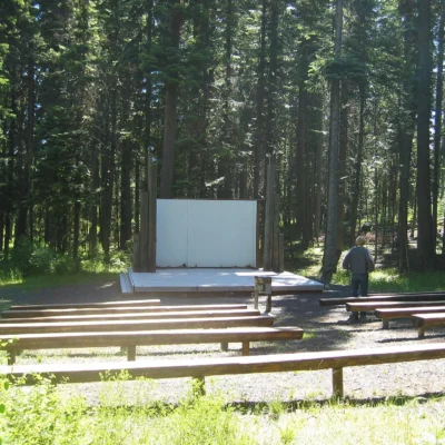
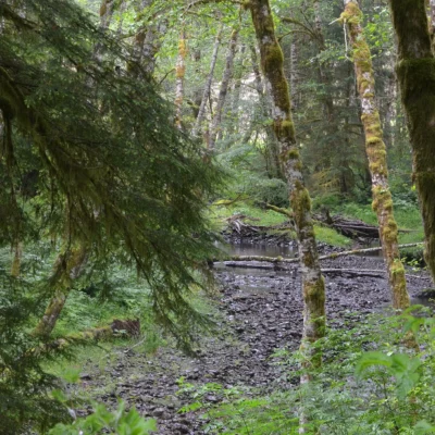
A short interpretive trail leads to the stone monument, with signs explaining the history and mechanics of the Public Land Survey System. The forested setting in the West Hills offers pleasant walking. The site appeals primarily to history buffs and surveyors, but the forest path is enjoyable for anyone. It connects to the extensive Wildwood Trail system in Forest Park — the largest urban forest park in America.
Viewing the Willamette Stone initial survey point, hiking the surrounding West Hills trails, learning about how the Pacific Northwest was surveyed and settled, and visiting this obscure but historically pivotal landmark.
Getting There
Located at the end of NW Skyline Boulevard in Portland’s West Hills. Limited trailhead parking. Free to visit.
Insider Tips
Oregon’s Point Zero: The Willamette Stone marks the initial survey point for all land surveys in Oregon and Washington — the intersection of the Willamette Meridian and Baseline. Pro tip: Every property boundary in Oregon and Washington references this point. Surveying history: The original 1851 survey marker is preserved behind a protective fence.
Best Time to Visit
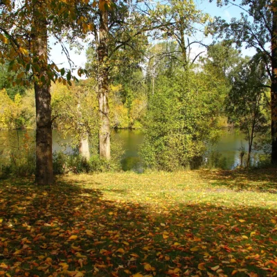
Year-round: The site is in Portland’s West Hills — accessible anytime. Spring: Wildflowers in surrounding Forest Park. Fall: Forest Park foliage. Summer: Combine with Forest Park hiking.
Frequently Asked Questions
What is a meridian stone?
In the US Public Land Survey System, initial survey points serve as the origin for all land measurements in a region. The Willamette Stone (1851) is the starting point for the Willamette Meridian — the reference line for all land surveys in Oregon and Washington. Every township, range, and section in both states is measured from this point.
More parks nearby: Government Island State Recreation Area is a short drive away, while Mary S. Young State Recreation Area lies a short drive away.
Wildlife & Nature
Willamette Stone SHS — marks the Willamette Stone — the initial survey point from which all land in Oregon and Washington was measured. This 1851 survey marker is the baseline for the entire Pacific Northwest land ownership grid. The site’s forest and meadow support songbirds and white-tailed deer.
Nearby Attractions
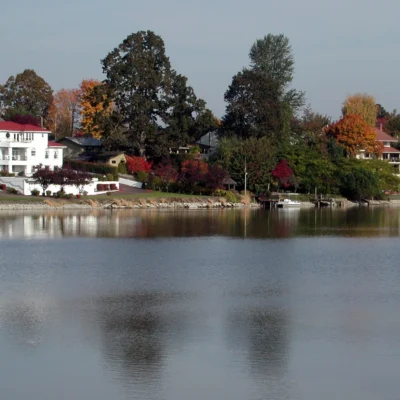
Portland’s West Hills — surrounding. Forest Park — nearby — one of the largest urban forests in the US (5,200 acres).

Park Location


Top Tours & Activities Near Portland
 from $128
 from $290
 from $59