🏆 Official Guide: Fort Pownall — Ruins of a 1759 British colonial fort on Maine’s Penobscot Bay — a French and Indian War fortification that helped determine the U.S.-Canadian border at the 1783 Treaty of Paris.
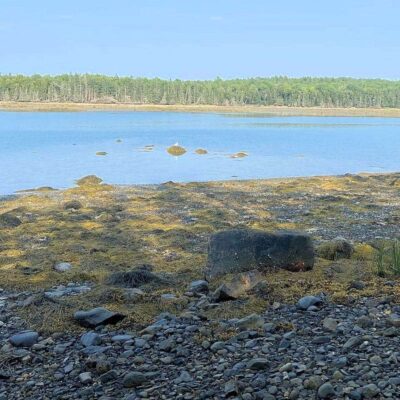
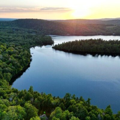
Fort Pownall stands at the tip of the Fort Point peninsula in Stockton Springs, Waldo County, Maine, overlooking the confluence of the Penobscot River and Penobscot Bay. Built in 1759 during the French and Indian War, the fort played a pivotal role in securing British control of the region — a claim that ultimately helped establish the U.S.-Canadian border. Listed on the National Register of Historic Places since 1969.
Visitor Information
| Detail | Information |
|---|---|
| Location | Fort Point, Stockton Springs, ME — Penobscot Bay |
| Admission | Free (Maine Bureau of Parks and Lands) |
| What Remains | Earthworks, foundations, interpretive signage |
| NRHP Listed | 1969 |
| Associated Park | Fort Point State Park (adjacent) |
History
Construction (1759)
Fort Pownall was built between May and July 1759 during the French and Indian War. Named for Thomas Pownall, Governor of the Massachusetts Bay Colony, it was constructed to secure the Penobscot region, prevent French naval access to the sea, and control native waterways vital to British colonial interests.
Design
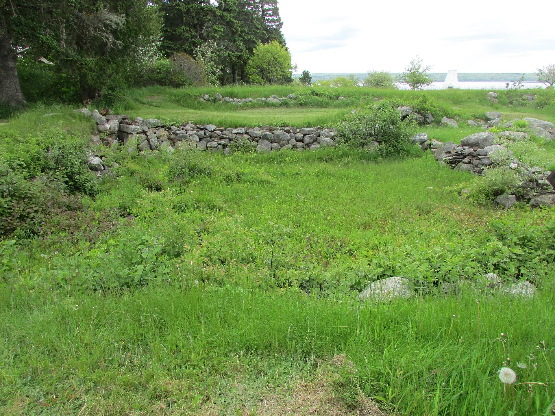
The fort featured substantial earthworks, a surrounding moat (15 feet wide, 8 feet deep), and a two-story blockhouse built of squared, dovetailed timbers. Despite its robust construction, Fort Pownall never saw active combat — its strategic position alone served as a deterrent.
Revolutionary War Destruction (1775)
When the American Revolution began in April 1775, British vessels arrived at Fort Pownall to seize its cannons and gunpowder. To prevent the British military from reclaiming the fortification, local militia forces burned the blockhouse and filled in the moat later that year — a decisive act of colonial defiance.
Treaty of Paris Legacy
Fort Pownall’s establishment was instrumental in claiming the land east of the Penobscot River for the colonies. At the 1783 Treaty of Paris, this claim helped secure the St. Croix River as the international boundary between the United States and British territory (now Canada).
What to See Today
| Feature | Description |
|---|---|
| Earthworks | Original fort outline visible in landscape contours |
| Foundation Remnants | Stone foundations of blockhouse and structures |
| Interpretive Signs | Historical context panels throughout the site |
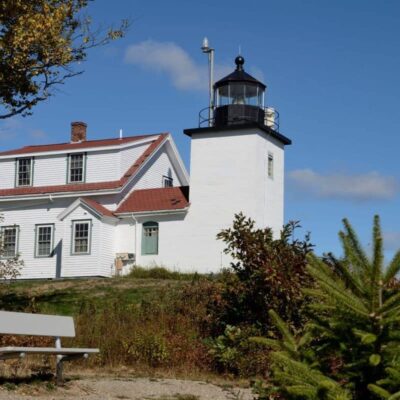
| Fort Point Light | Historic lighthouse (built later) at Fort Point State Park |
| Penobscot Bay Views | Panoramic water and island views from the peninsula tip |
Activities
| Activity | Details |
|---|---|
| Historical Exploration | Walk the earthworks and read interpretive panels |
| Photography | Lighthouse, bay views, fort ruins |
| Picnicking | Fort Point State Park facilities nearby |
| Fishing | Shore fishing from the peninsula (saltwater) |
| Birdwatching | Osprey, eagles, seabirds along Penobscot Bay |
Getting There
From Bangor: ~40 minutes south via US-1A. From Belfast: ~15 minutes north via US-1. Take Cape Jellison Road to Fort Point Road. The site is at the tip of the peninsula within Fort Point State Park.
Nearby Attractions
| Attraction | Distance | Highlights |
|---|---|---|
| Fort Point State Park | Adjacent | Fort Point Light, pier, picnic area, camping |
| Penobscot Narrows Observatory | 15 miles N | 420-foot bridge observatory — highest in world |
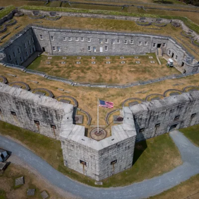
| Fort Knox State Historic Site | 15 miles N | Massive 1844 granite fort |
| Belfast | 15 miles S | Arts, dining, harbor village |
Frequently Asked Questions
Is Fort Pownall the same as Fort Point State Park?
Fort Pownall is the historical fortification site located within the boundaries of Fort Point State Park. The state park encompasses the peninsula and includes the fort ruins, Fort Point Light (a later lighthouse), picnic areas, and a pier. Both are free to visit.
Can you see the fort ruins?
You can see the original earthworks (the raised outline of the fort’s perimeter) and stone foundation remnants. The wooden blockhouse was burned by colonial militia in 1775, and the moat was filled in. Interpretive signs explain what stood where and the fort’s historical significance.
Did Fort Pownall see combat?
No. Despite its robust design — earthworks, moat, and two-story blockhouse — Fort Pownall never experienced active combat during the French and Indian War. Its strategic position at the mouth of the Penobscot River served as a deterrent. Its most dramatic moment came in 1775, when colonial forces burned it to prevent British recapture during the Revolution.
Keep exploring: The closest neighbors are Fort Knox State Historic Site (a short drive away) and Fort Point State Park (a short drive away).
Camping reservations: Book campsites and cabins for Maine state parks online at campwithme.com.

Park Location


Top Tours & Activities Near Bangor
 from $20
 from $204
 from $183