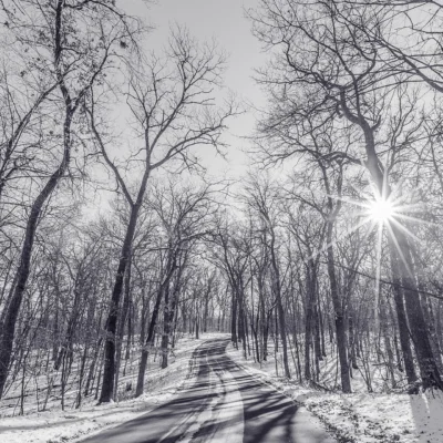

Photo: Tony Webster from Minneapolis, Minnesota, United States, CC BY-SA 2.0, via Wikimedia Commons
🌤 Weather at Kodonce River State Wayside by season
| Spring | Summer | Fall | Winter |
|---|---|---|---|
| 18–53 °F | 44–70 °F | 24–62 °F | 6–26 °F |
Each range runs from the coldest monthly average low to the warmest monthly average high in that season (1991-2020 climate normals), measured at Grand Marais, 9 mi away, elevation 612 ft. Conditions at the park can differ from the station, especially where elevation differs — check a forecast before you go.

🏆 North Shore Gorge — Lake Superior wayside at the mouth of the Kadunce River, with a spur trail to the river’s deep gorges and the Superior Hiking Trail
Kodonce River State Wayside is a Minnesota state wayside on Highway 61 in Cook County, where the Kadunce River reaches Lake Superior, east of Grand Marais. State law spells the wayside “Kodonce” and the highway sign now does too, while maps and the Superior Hiking Trail Association still call the river “Kadunce”. From the wayside, a 0.7-mile spur trail leads north to the Superior Hiking Trail, and the trail sections on both sides of the river pass the deep gorges of the Kadunce River (Superior Hiking Trail Association, as of October 2026).
Visitor Information
| Detail | Information |
|---|---|
| Location | Highway 61 at milepost 119, lake side, east of Grand Marais, Cook County, MN |
| Entry Fee | Free |
| Trail | 0.7-mile spur to the Superior Hiking Trail along the Kadunce River |
| Parking | Wayside lot, no overnight parking |
| Former Name | Kodonce River State Park |
Frequently Asked Questions
Is it Kodonce or Kadunce?
Both spellings are in use. Minnesota statute names the wayside Kodonce River State Wayside (renamed from Kodonce River State Park in 1969), and the highway sign has been changed to “Kodonce”. Federal topographic maps and the Superior Hiking Trail Association spell the river Kadunce.
Can I park overnight at the wayside?
No. The Superior Hiking Trail Association lists the wayside lot as a day-use trailhead with no overnight parking. Backpackers starting a longer section hike should use one of the trailheads that allow overnight parking.
More parks nearby: Devils Track Falls State Wayside and Judge C. R. Magney State Park are both a short drive away.
🏔️ Visit Kodonce River State Wayside
The wayside is operated by the Minnesota DNR, Division of Parks and Trails.
About Kodonce River State Wayside
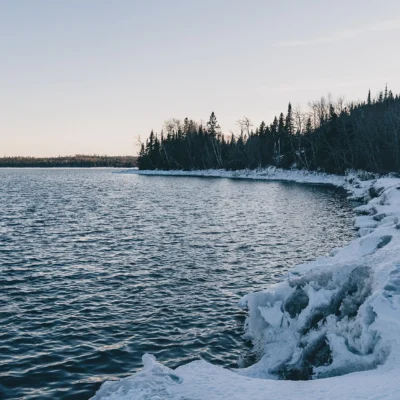
Minnesota established the site in 1947 as Kodonce River State Park and renamed it a state wayside in 1969. It sits on the lake side of Highway 61, where the Kadunce River meets Lake Superior, with a small beach, picnic tables and seasonal portable toilets. A waterfall lies about half a mile up the river. North of the highway, the spur trail follows the river to the Superior Hiking Trail, which crosses the Kadunce above its gorges on the way between Cook County Road 58 and Judge C. R. Magney State Park.
Things to Do
Walk the 0.7-mile spur to the Superior Hiking Trail, look into the river’s gorges from the trail, and continue on the section toward Judge C. R. Magney State Park, which passes the Blueberry Overlook with its wide view of Lake Superior. Cross Highway 61 with care between the wayside and the trail.
Insider Tips
Stay on the trail: The gorge has steep drop-offs. Day use only: The wayside lot has no overnight parking; section hikers park at Cook County Road 58 or Road 14 instead. Winter: Ice makes the gorge edges dangerous.
Best Time to Visit
Summer and fall: The most comfortable hiking, with fall color above the gorge. Spring: Snowmelt fills the river and the falls. Winter: Only for well-prepared hikers.
Wildlife & Nature
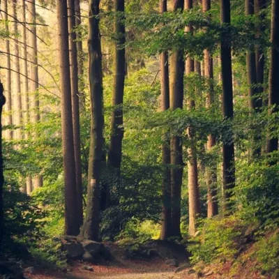
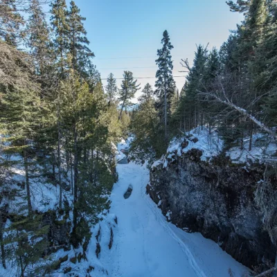
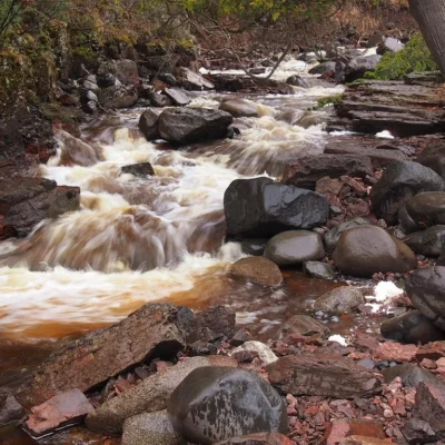
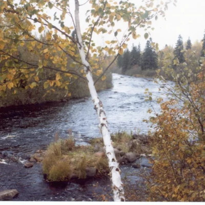
Kodonce River State Wayside sits where a North Shore river drops through a deep, rocky gorge to Lake Superior, in the forest that lines the shore between Grand Marais and the Canadian border.
Nearby Attractions
Grand Marais — southwest on Highway 61. Judge C. R. Magney State Park — farther northeast on Highway 61 and on the Superior Hiking Trail. Gunflint Trail — starts in Grand Marais.

🐾 Dogs & Pets at Kodonce River State Wayside
- Pets allowed? statewide rule
- Pets are welcome in Minnesota state parks and recreation areas as long as they are leashed and personally attended at all times.
- Leash rule statewide rule
- Leash six feet or shorter (or portable enclosure) required at all times.
- Beaches & swim areas statewide rule
- Only service animals are allowed in beach areas — pets are prohibited on swim beaches statewide.
- Cabins & lodging statewide rule
- Only service animals are allowed in state park lodging, camper cabins, yurts and tipis — no pet-friendly cabin program.
- Statewide exceptions statewide rule
- Emotional support/therapy animals do not qualify as service animals and are prohibited from park buildings.
Are dogs allowed at Kodonce River State Wayside?
Pets are welcome in Minnesota state parks and recreation areas as long as they are leashed and personally attended at all times. Individual parks can post stricter rules — check signage on arrival.
Rules verified July 2026 via dnr.state.mn.us. More: Minnesota state parks guide · Dog rules in all 50 states compared
Park Map
Plan your gear for Kodonce River State Wayside
From our editorial guides, matched to this park’s activities: