🏔️ Temperance River State Park – The Complete Guide – Updated 2025
Minnesota’s North Shore Waterfall Corridor
🏅 Official Guide: Temperance River State Park — A dramatic stretch of Minnesota‘s Lake Superior North Shore where the Temperance River plunges through deep volcanic gorges and cascading waterfalls before emptying into the world’s largest freshwater lake.
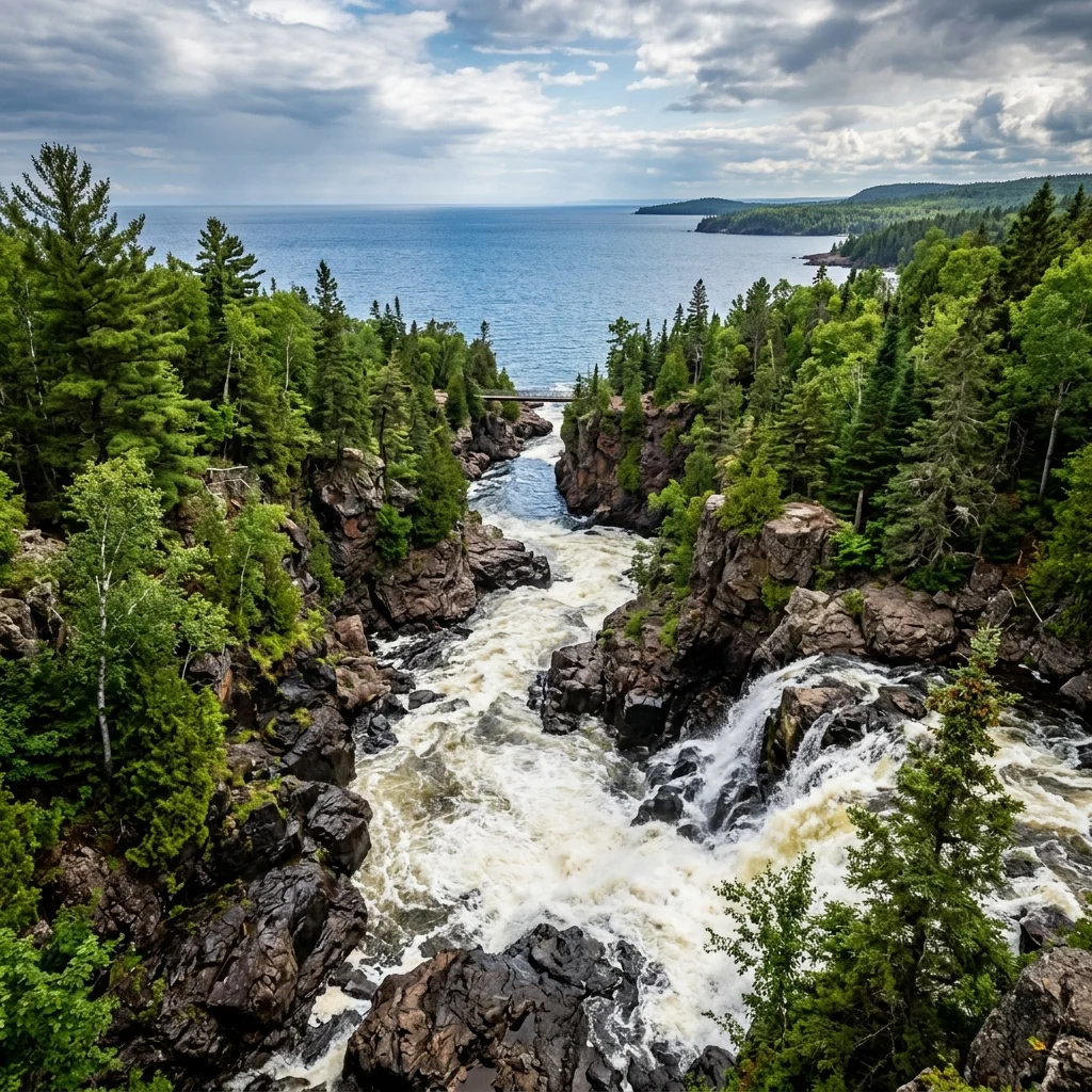
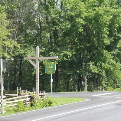
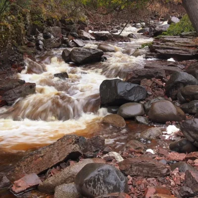
Temperance River State Park protects one of the most dramatic river gorges on Minnesota’s North Shore. The Temperance River — named because, unlike its neighboring rivers, it has no sand bar at its mouth (no “bar” = “temperance”) — drops over 160 feet in its final half-mile, carving through ancient volcanic basalt to create a series of deep, narrow gorges, cauldron pools, and cascading waterfalls that are among the most photogenic on the entire North Shore.
The Hidden Falls & Gorge
The park’s star attractions are the series of waterfalls visible from trails on both sides of the gorge. The most dramatic feature is the Upper Gorge, where the river has carved a series of impossibly narrow gorges — some only 8 to 10 feet wide — into the dark basalt rock. The water churns through these crevasses creating powerful cauldrons and potholes polished smooth over thousands of years.
| Trail | Distance | Difficulty | Highlights |
|---|---|---|---|
| Gorge Trail (West Side) | 0.5 mi one-way | Easy–Moderate | Best views of the gorge and main waterfalls |
| Gorge Trail (East Side) | 0.4 mi one-way | Moderate | Alternative angles, cross-river views into gorge |
| Cauldron Trail | 1.2 mi loop | Moderate | Access to the upper cauldron pools and potholes |
| Superior Hiking Trail | Thru-trail | Moderate–Difficult | 310-mile thru-trail passes directly through the park |
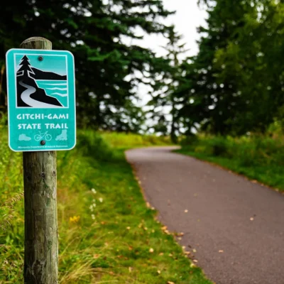
| Gitchi-Gami State Trail | Bike trail | Easy | Paved multi-use trail along the lakeshore |
| Cross River Falls (nearby) | 0.2 mi | Easy | Additional waterfall just a few miles south |
Superior Hiking Trail Access
Temperance River is a major access point for the Superior Hiking Trail, a 310-mile point-to-point trail that runs along the ridgeline above Lake Superior from Jay Cooke State Park near Duluth to the Canadian border. The section through Temperance River is one of the trail’s highlights, with dramatic ridge-top views of Lake Superior and the North Shore forests. Backpackers can utilize free backcountry campsites maintained by the Superior Hiking Trail Association.
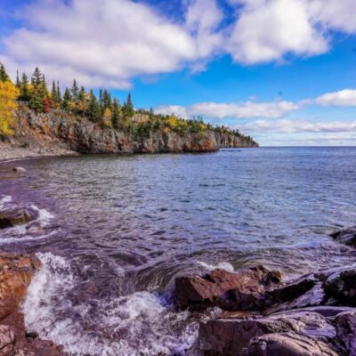
Lake Superior Shoreline
The park’s Lake Superior shoreline provides access to the massive lake’s cobblestone beach at the river mouth. This is a prime location for:
- Agate Hunting — Lake Superior agates wash up on the cobble beaches, especially after storms
- Sunset Watching — Southeast-facing shore provides dramatic sunset views over the lake
- Kayaking — Sea kayaking along the rocky North Shore coastline
- Fall Color — The birch and maple forests turn brilliant in late September, creating stunning color against the blue lake
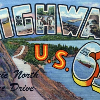
North Shore Scenic Drive Context
Temperance River sits along Minnesota Highway 61, the legendary North Shore Scenic Drive that runs 150 miles from Duluth to the Canadian border. This corridor is one of America’s greatest scenic drives, passing through 8 state parks, dozens of waterfalls, and the charming villages of Two Harbors, Silver Bay, Tofte, and Grand Marais.
| Nearby State Park | Direction | Distance | Key Feature |
|---|---|---|---|
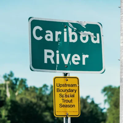
| Caribou Falls | North | 5 mi | Secluded waterfall |
| Cross River Falls | South | 3 mi | Roadside waterfall |
| Tettegouche | South | 15 mi | High Falls, Shovel Point |
| Cascade River | North | 20 mi | Multi-tiered waterfall system |
| Gooseberry Falls | South | 35 mi | North Shore’s most visited waterfall |
Camping
| Type | Sites | Price/Night | Notes |
|---|---|---|---|
| Drive-In (Electric) | 18 | $31 | Wooded, close to river and lake |
| Drive-In (Non-Electric) | 32 | $23 | More secluded, forest setting |
| Cart-In | 4 | $15 | Short walk from parking, quieter |
| Backpack Sites (SHT) | Free | Free | Superior Hiking Trail backcountry sites |
Planning Your Visit
| Feature | Details |
|---|---|
| Location | 7620 W. Hwy 61, Schroeder, MN 55613 |
| Coordinates | 47.5553° N, 90.8718° W |
| Vehicle Permit | $7/day or $35/year (MN State Parks) |
| From Duluth | ~80 miles northeast on Hwy 61 (~1.5 hours) |
| From Grand Marais | ~23 miles south |
| Phone | (218) 663-3100 |
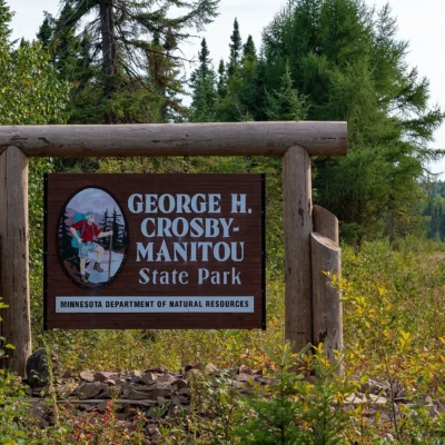
Nearby state parks: If you have extra time, Crosby Manitou State Park is a short drive away, and Caribou Falls State Wayside is within about an hour’s drive.
Camping reservations: Book campsites and cabins for Minnesota state parks online at reservemn.usedirect.com.
🌊 Ready to explore Minnesota’s most dramatic gorge?
Experience waterfalls, volcanic gorges, and Lake Superior’s wild shore at Temperance River State Park.
Frequently Asked Questions
How much is a Minnesota state parks vehicle permit?
A daily vehicle permit costs $7. An annual vehicle permit costs $35 and covers unlimited entry to all 75+ Minnesota state parks and recreation areas throughout the year.
Where is the source of the Mississippi River?
The Mississippi River begins at Lake Itasca in Itasca State Park, Minnesota. Visitors can walk across the river at its headwaters where it flows just 18 feet wide and knee-deep over a rocky streambed.
Can I see the Northern Lights at Minnesota state parks?
Yes, northern Minnesota parks like Voyageurs, Scenic, and Lake Bemidji offer some of the best Northern Lights viewing in the continental US, especially during fall and winter when skies are darkest.
What are the best state parks on the North Shore?
Top North Shore parks include Gooseberry Falls, Split Rock Lighthouse, Tettegouche, Temperance River, and Judge C.R. Magney (home of Devil’s Kettle waterfall). All are connected by the Superior Hiking Trail.
Explore More Minnesota State Parks
Temperance River State Park is one of many outstanding state parks in Minnesota. Discover more parks in our Best State Parks in Minnesota guide, or use our Park Finder to search by activity, location, or features.
Wildlife & Nature
Temperance River SP — on the North Shore — features a spectacular river gorge where the Temperance River has carved deep cauldrons and potholes in the volcanic basalt. The river got its name because it has no “bar” at its mouth (temperance = no bar). Brook trout fill the pools. Moose, black bears, and gray wolves roam. Common loons call.
Nearby Attractions
Schroeder — adjacent. Tofte — adjacent — has the North Shore Commercial Fishing Museum. Lutsen — 10 miles north. Superior Hiking Trail — traverses the park.

Park Location
Plan your gear for Temperance River State Park
From our editorial guides, matched to this park’s activities:


Top Tours & Activities Near Duluth
 from $100
 from $161
 from $322