🏆 Official Guide: Quinebaug Valley — A scenic park in northeastern Connecticut’s Last Green Valley National Heritage Corridor — centered around the 88-acre Wauregan Reservoir, offering bass and catfish fishing, non-motorized boating, peaceful nature trails, and a quiet retreat in the historic Blackstone-Quinebaug river corridor.
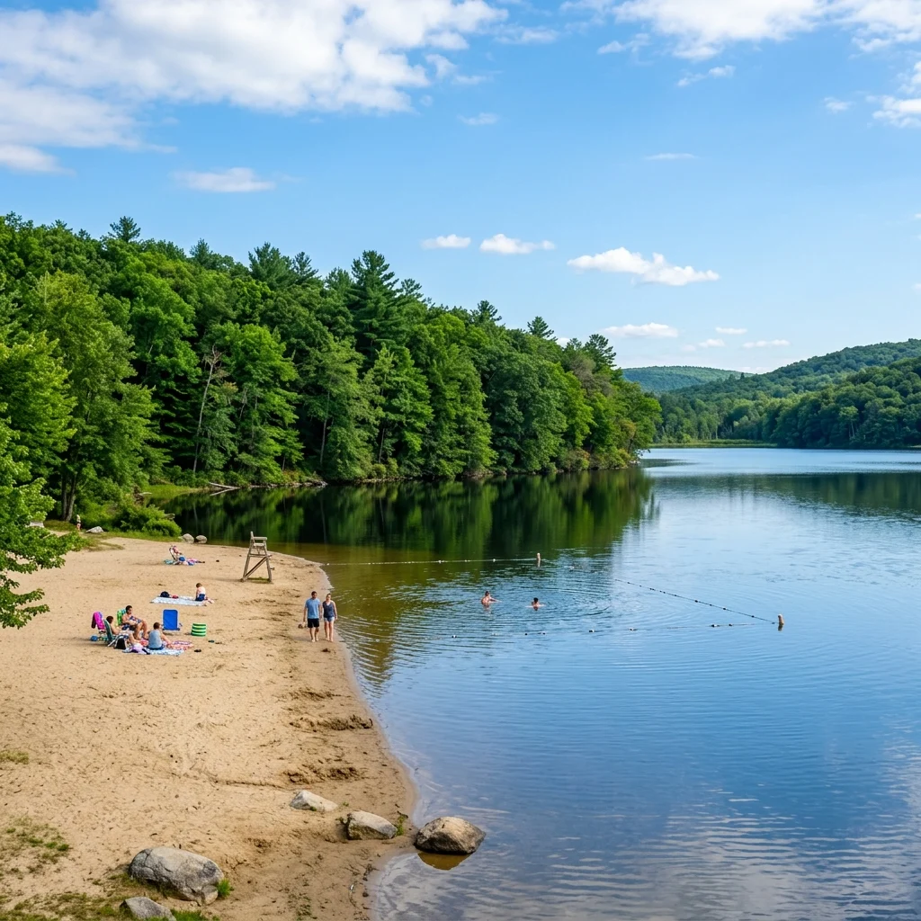
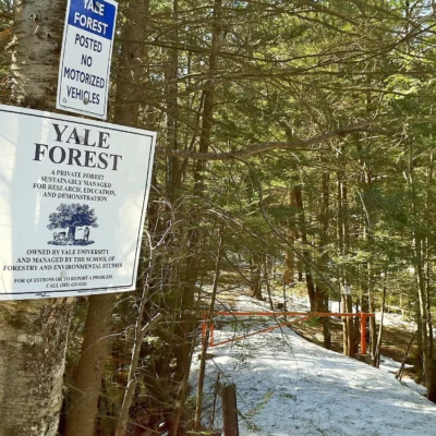
Quinebaug Valley (also referenced as Quinebaug Lake State Park) in northeastern Connecticut is a quiet, water-focused park within the “Last Green Valley” — one of the last remaining dark-sky corridors in the Boston-to-Washington megalopolis. The park centers on the 88-acre Wauregan Reservoir, a designated bass and catfish management lake ideal for peaceful fishing and non-motorized boating.
Visitor Information
| Detail | Information |
|---|---|
| Location | Killingly / Quinebaug area, CT |
| Lake | 88-acre Wauregan Reservoir |
| Type | Day-use — no camping |
| Boating | Non-motorized or electric motors only |
| Heritage | Part of Last Green Valley National Heritage Corridor |
Activities
| Activity | Details |
|---|---|
| Fishing | Bass, catfish, panfish — designated management lake |
| Boating | Kayak, canoe, electric motor — boat launch |
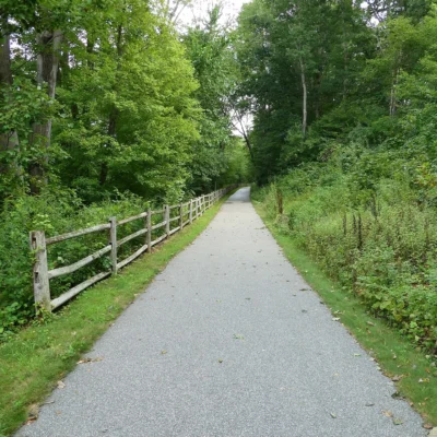
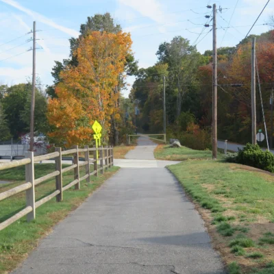
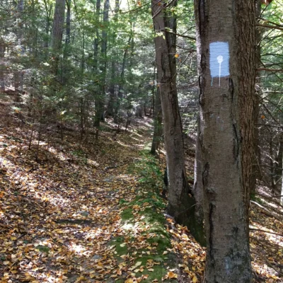
| Nature Trails | Short wooded trails — peaceful walks |
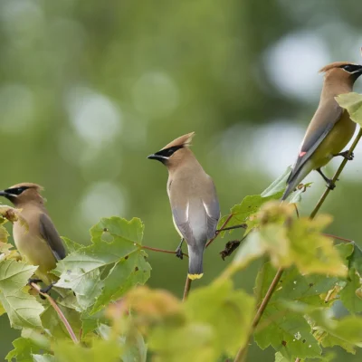
| Bird Watching | Woodland and reservoir species |
| Picnicking | Lakeside picnic areas |
Frequently Asked Questions
Can I use a motorboat on the reservoir?
Only non-motorized boats (kayaks, canoes, SUP) and boats with electric motors are permitted on Wauregan Reservoir. Gas-powered motorboats are not allowed. A boat launch is available for car-top boats.
What is the Last Green Valley?
The Last Green Valley is a National Heritage Corridor spanning 35 towns in northeastern Connecticut and south-central Massachusetts. It’s called the “last green valley” because it is the last largely rural, forested area visible from space in the Boston-to-Washington megalopolis — visible on satellite imagery as a dark green gap in the urban sprawl.
Keep exploring: The closest neighbors are Quinebaug Lake State Park (a short drive away) and Old Furnace State Park (a short drive away).
Camping reservations: Book campsites and cabins for Connecticut state parks online at connecticutstateparks.reserveamerica.com.

🐾 Dogs & Pets at Quinebaug Valley State Fish Hatchery
- Pets allowed? statewide rule
- Pets on a leash are permitted in most Connecticut state parks and forests, but not in buildings, swimming areas or state park campgrounds.
- Leash rule statewide rule
- Pets must be leashed and under control at all times; in state forest camping areas the leash may be no longer than 7 feet.
- Beaches & swim areas statewide rule
- Pets are prohibited in swimming areas; Sherwood Island and Squantz Pond State Parks ban pets entirely April 15 - September 30.
- Cabins & lodging statewide rule
- Pets are banned from all state park campgrounds; they are allowed only in the American Legion, Pachaug and Salt Rock state forest campgrounds, but not on rustic cabin sites.
- Statewide exceptions statewide rule
- Pets prohibited year-round at Dinosaur State Park and in the formal gardens and beach at Harkness Memorial State Park.
Are dogs allowed at Quinebaug Valley State Fish Hatchery?
Pets on a leash are permitted in most Connecticut state parks and forests, but not in buildings, swimming areas or state park campgrounds. Individual parks can post stricter rules — check signage on arrival.
Rules verified July 2026 via portal.ct.gov. More: Connecticut state parks guide · Dog rules in all 50 states compared
Park Location
Plan your gear for Quinebaug Valley State Fish Hatchery
From our editorial guides, matched to this park’s activities:

Top Tours & Activities Near Providence
 from $30
 from $100
 from $30