
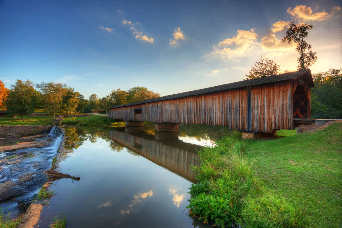
 Georgia is well known for being the home of peaches, the Atlanta Falcons and Coca Cola. However, it also accommodates almost 50 state parks, which combine to perfectly showcase its outstanding natural beauty.
Encompassing spectacular landscapes where rolling farmlands, lush countryside, dense woodlands and rampaging rivers are framed by stately mountains, the region has a diverse topography.
However, it is also one that is a joy to explore. With plenty of opportunities for swimming, hiking, fishing, kayaking, canoeing, SUP, mountain biking and rafting presenting themselves around this terrain.
If you live near the city of Alpharetta, these public recreational spaces are great places to reconnect with nature, and take a break from the pressures of every day life.
Should this be something you are in mind to do, here are 6 state parks near Alpharetta that are well worth visiting.
Map of State Parks Near Alpharetta GA
Here is a map of the Georgia state parks covered in this post:
List of State Parks Near Alpharetta
All 6 of the state parks near Alpharetta highlighted below are located within a two hour drive from this Georgian city. Therefore they are great places to visit as a day trip destination.
That said, for those interested in camping for a few nights, they all have different facilities available for guests to use.
1. Red Top Mountain State Park
Distance from Alpharetta: about 24 miles west of Alpharetta (straight-line).
Location: Cartersville, Georgia
On the shore of Lake Allatoona, Red Top Mountain State Park covers 1,776 acres with a sand swimming beach, more than 15 miles of trails, rental cottages, a campground and the Allatoona Pass Battlefield. Source: Georgia State Parks, checked October 2026.
See our full Red Top Mountain State Park guide for fees, hours, and what to expect.
2. Sweetwater Creek State Park
Distance from Alpharetta: about 30 miles southwest of Alpharetta (straight-line).
Location: Lithia Springs, Georgia
Sweetwater Creek State Park covers 2,549 acres in Georgia. Established 1972.
Minutes from downtown Atlanta, Sweetwater Creek State Park covers 2,549 acres; a creekside trail leads to the ruins of the New Manchester textile mill, burned during the Civil War, and the 215-acre George Sparks Reservoir has fishing and seasonal boat rentals but no swimming. Source: Georgia State Parks, checked October 2026.
See our full Sweetwater Creek State Park guide for fees, hours, and what to expect.
3. Panola Mountain State Park
Distance from Alpharetta: about 32 miles south of Alpharetta (straight-line).
Location: 5572 Alexanders Lake Road Southwest, Georgia 30281
Panola Mountain is a 100-acre (40 ha) granite monadnock in Rockdale County, Georgia.
See our full Panola Mountain State Park guide for fees, hours, and what to expect.
4. Fort Yargo State Park
Distance from Alpharetta: about 33 miles east of Alpharetta (straight-line).
Location: 210 S Broad St, Winder, GA 30680
Fort Yargo State Park is another great state park, which is only an hour’s drive east of Alpharetta.
Well known for its magnificent scenery, the main drawcard here is a 260 acre lake that defines the landscape. It is a perfect spot for SUP, canoeing, kayaking and fishing, while there is also a pretty swimming beach to sunbathe on as well.
The park also has almost 21 miles of trails for hiking and mountain biking, as well as a historic log fort that was built some time around 1792. In addition, there is also a wooded disc golf course onsite which proves a real hit with visitors.
In terms of overnight accommodation, you can choose between 47 sites for trailers, RV campsites and tents, as well as 6 yurts and 16 cottages. While there are also 12 walk-in campsites as well.
Fort Yargo State Park covers 1,816 acres in Georgia. Established 1954.
See our full Fort Yargo State Park guide for fees, hours, and what to expect.
5. Don Carter State Park
Distance from Alpharetta: about 34 miles northeast of Alpharetta (straight-line).
 Location: 5000 N Browning Bridge Rd, Gainesville, GA 30506
At just under an hour’s drive north east, The Don Carter State Park is the nearest of all these recommended state parks near Alpharetta.
Boasting a spectacular landscape where the scenic Chattahoochee River merges with the shimmering Lake Lanier, this is an excellent place to visit if you like to partake in recreational water based activities. Over at the reservoir’s northern part, swimming, kayaking, SUP and fishing are all popular. While there are a number of boat ramps that get you on to the water quickly too.
There is also a sizable, sandy swimming beach, which features a modern bath house. As well as an enchanting hardwood forest that is great to hike or mountain bike in.
Set across 1,316 acres, this park provides 44 tents, RV campsites and trailers as their camping options, as well as 8 cottages. For those who like to rough it, there is also a primitive camping area with 14 tents and hammocks available.
Don Carter State Park is a state park located in Hall County, Georgia, along the shores of Lake Lanier.
See our full Don Carter State Park guide for fees, hours, and what to expect.
6. Amicalola Falls State Park
Distance from Alpharetta: about 34 miles north of Alpharetta (straight-line).
Amicalola Falls State Park & Lodge is an 829-acre (3.35 km2) Georgia state park located between Ellijay and Dahlonega in Dawsonville, Georgia.
See our full Amicalola Falls State Park guide for fees, hours, and what to expect.
