Central Ferry Park
🌤 Weather at Central Ferry Park by season
| Spring | Summer | Fall | Winter |
|---|---|---|---|
| 31–72 °F | 48–90 °F | 30–78 °F | 24–45 °F |
Each range runs from the coldest monthly average low to the warmest monthly average high in that season (1991-2020 climate normals), measured at Lacrosse, 13 mi away, elevation 1,476 ft. Conditions at the park can differ from the station, especially where elevation differs — check a forecast before you go.

🏆 Snake River Gateway — 185-acre park on the Snake River in southeastern Washington — where the Palouse Hills meet the river canyon
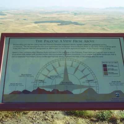
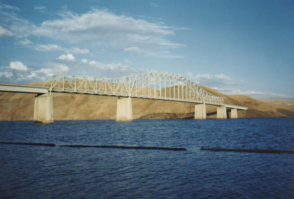
Central Ferry Park sits on the Snake River in Garfield County — where the rolling wheat fields of the Palouse drop dramatically into the Snake River canyon. The Palouse is one of the most productive dryland wheat-farming regions in the world — the deep, wind-deposited loess soil (up to 250 feet deep!) produces extraordinary crop yields without irrigation. The Snake River here flows through a 2,000-foot-deep basalt canyon carved through millions of years of Columbia River Basalt flows — the largest lava flood in Earth’s recent history (16 million years ago), covering 63,000 square miles!
Visitor Information
| Detail | Information |
|---|---|
| Location | Garfield County, WA |
| Entry Fee | Discover Pass required |
| Geology | Loess 250ft deep! Basalt 63,000 sqmi! |
| Size | 185 acres! |
About Central Ferry
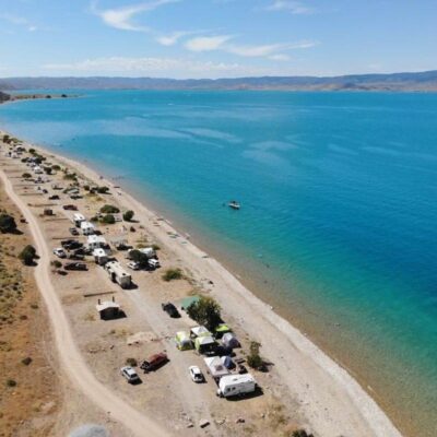
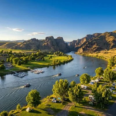
Central Ferry Park sits on the shores of Lower Granite Lake — a reservoir on the Snake River in southeastern Washington’s Palouse wheat country. Named for the historic ferry crossing that operated here before the dam, the park offers water recreation in a dramatic canyon setting with basalt cliffs rising above golden wheat fields.
Things to Do
Camping (60 sites with hookups), swimming at the sandy beach, waterskiing and wakeboarding on the reservoir, fishing for smallmouth bass and walleye, and boating. The surrounding Palouse Hills offer scenic drives through some of America’s most productive wheat farmland.
Insider Tips
Snake River access: Central Ferry sits where the Tucannon River meets the Snake River — one of eastern Washington’s deepest canyons. Pro tip: The Snake River canyon in this section reaches 2,000+ feet deep — second only to Hells Canyon upstream. Palouse country: The surrounding Palouse region has some of the most productive wheat farmland in the world — rolling hills of golden grain stretching to every horizon.
Best Time to Visit
Summer: River recreation and camping. Spring: Green Palouse hills and wildflowers. Fall: Harvest season — golden wheat fields. Winter: Steelhead fishing in the Snake River.
Frequently Asked Questions
What is the Palouse?
The Palouse is a unique agricultural landscape of rolling, wind-deposited hills (loess) in eastern Washington and Idaho — some of the deepest, richest topsoil in North America (200+ feet in places). The Palouse produces premium wheat, lentils, and chickpeas. The undulating hills create a photographer’s paradise — especially during spring green-up and fall harvest.
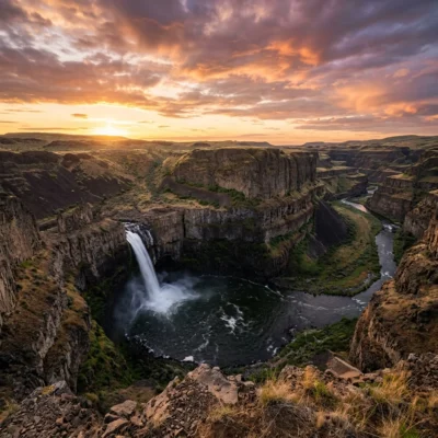
Keep exploring: The closest neighbors are Palouse Falls State Park (within about an hour’s drive) and Lyons Ferry State Park (within about an hour’s drive).
Camping reservations: Central Ferry Park is a day-use area run by the US Army Corps of Engineers, so Washington’s state park booking site does not cover it.
🌾 Visit Central Ferry Park
Snake River canyon — 250ft deep loess, largest lava flood on Earth!
Wildlife & Nature
Central Ferry Park — a day-use area along the Snake River in Garfield County — sits at an important river crossing used for centuries by Nez Perce people and later by early settlers. The Snake River canyon here is deeply incised through basalt lava flows — part of the Columbia Plateau volcanic province. White pelicans rest on sandbars during migration. Osprey nest on power poles along the river. Chukar partridge inhabit the rocky basalt slopes — a popular upland game bird in eastern Washington. Channel catfish, smallmouth bass, and walleye provide warm-water fishing. The park offers boat launch access to the Lower Snake River reservoir system.
Nearby Attractions
Boyer Park is 15 miles downstream with marina facilities. Palouse Falls State Park — 40 miles northwest — features Washington’s official waterfall. Clarkston/Lewiston — 50 miles south — is the gateway to Hells Canyon. Steptoe Butte State Park offers panoramic Palouse views.

Park Location
Plan your gear for Central Ferry Park
From our editorial guides, matched to this park’s activities: