🌤 Weather at Hopatcong State Park by season
| Spring | Summer | Fall | Winter |
|---|---|---|---|
| 28–71 °F | 57–84 °F | 32–74 °F | 19–41 °F |
Each range runs from the coldest monthly average low to the warmest monthly average high in that season (1991-2020 climate normals), measured at Andover Aeroflex Airport, 8 mi away, elevation 583 ft. Conditions at the park can differ from the station, especially where elevation differs — check a forecast before you go.

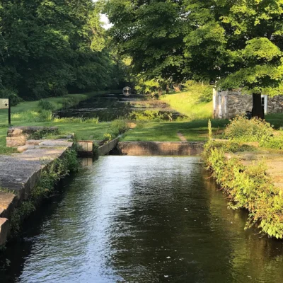
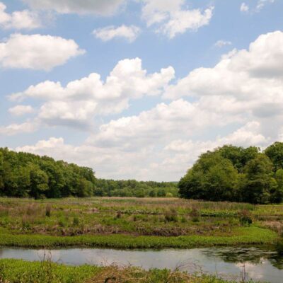
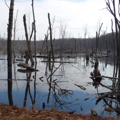
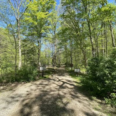
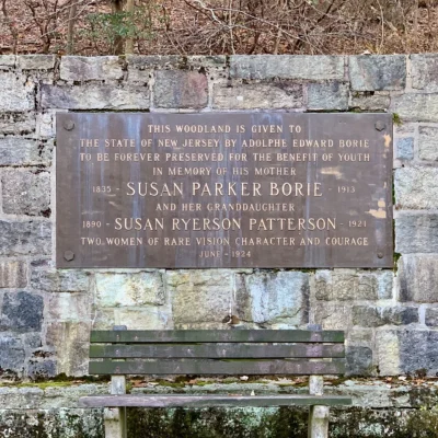
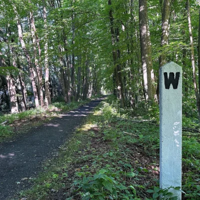
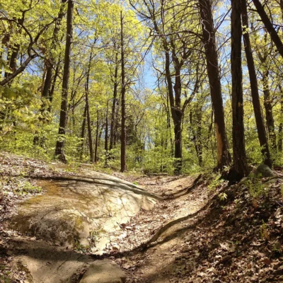
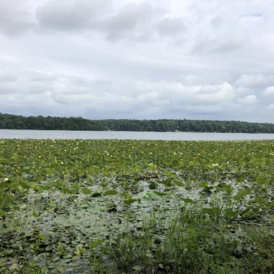
Hopatcong State Park is a public state park in New Jersey near Landing in Morris, Sussex County. Spanning 163 acres and established in 1922, this park offers a peaceful retreat into nature for visitors of all ages.
Quick Facts
| State | New Jersey |
| Nearest City | Landing |
| County | Morris, Sussex |
| Park Size | 163 acres |
| Established | 1922 |
Location & Getting There
Hopatcong State Park is located near Landing, New Jersey. The park’s coordinates are 40.9144, -74.6653.
Things to Do
New Jersey state parks defy the state’s industrial reputation, protecting vast tracts of wilderness including the unique Pine Barrens, Appalachian ridgetops, and wide Atlantic beaches. Visitors can hike sections of the Appalachian Trail, kayak through the tea-colored waters of the Pinelands, swim at ocean or glacial lake beaches, fish in well-stocked streams, and camp in deep forest. The state also preserves crucial moments in American history, offering tours of key Revolutionary War sites, battlefields, and historic villages.
Best Time to Visit
Fall (September–October) is arguably the best time, offering cool hiking weather, beautiful hardwood foliage in the northern parks, and fewer bugs in the Pine Barrens. Summer (June–August) is peak season for coastal parks and lake swimming, but inland parks can be hot, humid, and buggy. Spring brings excellent birding during the coastal migration and good conditions for trout fishing. Winter is quiet, perfect for solitary hikes and, occasionally, cross-country skiing when snow falls.
Visitor Tips
Entrance fees are typically charged from Memorial Day through Labor Day ($5-$10 per vehicle for residents, $10-$20 for non-residents). A State Park Pass ($50 for residents) covers parking for the season. In the heavily forested Pine Barrens (like Wharton State Forest), ticks are extremely common from early spring through late fall; use strong insect repellent and perform thorough tick checks. Coastal parks like Island Beach State Park often fill to capacity by mid-morning on summer weekends, so arrive very early.
Why is Point Lobos called the Crown Jewel?
Point Lobos earned the title “Crown Jewel of the State Park System” because it packs extraordinary ecological diversity into a compact area — kelp forests, Monterey cypress (one of only two native groves on Earth), 300+ bird species, sea otters, sea lions, harbor seals, and migrating whales, all within a dramatically beautiful coastal headland. Artist Francis McComas called it “the greatest meeting of land and water in the world.”
Do I need a reservation for Point Lobos?
Reservations are not required for general entry, but parking is extremely limited (approximately 150 spaces). On weekends and holidays, the park often reaches capacity by 10 AM and closes to additional vehicles. Your best options: arrive before 9 AM, visit on weekdays, or walk/bike in from Highway 1 (which is free and bypasses the parking limit).
Can you scuba dive at Point Lobos?
Yes — Point Lobos offers some of the best scuba diving in California, but it requires an advance reservation. Diving is permitted in Whalers Cove and Bluefish Cove only. The underwater reserve — the first in the United States (1960) — features kelp forest cathedrals, nudibranchs, lingcod, and harbor seals. Buddy pairs are limited to maintain the pristine underwater environment.
What is the best trail at Point Lobos?
For first-time visitors, the Cypress Grove Trail (0.8-mile loop) through the ancient Monterey cypress grove is the must-do trail. For the most dramatic coastal views, combine the Sea Lion Point Trail with the South Shore Trail. For the best wildlife viewing (sea otters, harbor seals), walk the North Shore Trail. All trails are relatively easy and can be combined into a 4-5 mile loop of the entire reserve.
Where does the name Point Lobos come from?
The name comes from the Spanish “Punta de los Lobos Marinos,” meaning “Point of the Sea Wolves.” Spanish explorers named it for the California sea lions whose loud barking echoed across the rocks. The sea lions still dominate Sea Lion Rocks today, continuing the soundtrack that gave the point its name over 200 years ago.
Explore More New Jersey State Parks
Hopatcong State Park is one of many outstanding state parks in New Jersey. Discover more parks in our Best State Parks in New Jersey guide, or use our Park Finder to search by activity, location, or features.
The Crown Jewel: Why Point Lobos Is Legendary
Point Lobos State Natural Reserve — 1,325 acres of terrestrial and submarine preserve on the Monterey Peninsula — has been called “the greatest meeting of land and water in the world” by landscape painter Francis McComas and “the Crown Jewel of the State Park System” by California Parks. This is not hyperbole. Point Lobos packs more ecological diversity, geological drama, and sheer beauty into a compact headland than perhaps any comparable coastal site on Earth.
A Landscape That Changed Art
Point Lobos has inspired a who’s-who of American artists: Edward Weston photographed its cypresses and rock formations in images now considered masterpieces of modernist photography. Ansel Adams captured the same dramatic headlands. Robinson Jeffers — Carmel’s poet laureate — set poems amid its “granite and spray.” The reserve’s combination of tortured cypress trees, crashing surf, and chiseled granite creates landscapes that look composed rather than natural.
The Natural Wonders of Point Lobos
Monterey Cypress: Rarest Trees on Earth
Point Lobos is one of only two natural groves of Monterey cypress (Hesperocyparis macrocarpa) remaining on Earth (the other is at Cypress Point on 17-Mile Drive). These wind-sculpted trees — twisted into dramatic forms by decades of Pacific storms — are the most photographed trees in California. The Allan Memorial Grove and the trail to Cypress Cove have the finest specimens. Some trees are estimated at 300+ years old.
Kelp Forest Cathedrals
The offshore waters of Point Lobos — protected as the first underwater reserve in the United States (established 1960) — contain towering giant kelp forests (Macrocystis pyrifera). These underwater “cathedrals” — with kelp growing up to 2 feet per day to heights of 175 feet — create one of the most productive marine ecosystems on the planet. The kelp forests support over 250 species of fish and invertebrates. Permitted scuba diving (by reservation) in Whalers Cove and Bluefish Cove provides world-class underwater exploration.
Sea Otter Kingdom
Point Lobos is one of the best places in the world to observe southern sea otters (Enhydra lutris nereis) — a keystone species that nearly went extinct (hunted to fewer than 50 individuals by 1911). Today, otters float in the kelp beds, cracking abalone and sea urchins on their bellies using rocks as tools — one of the few non-primate tool users in nature. Sea otter “rafts” — groups of up to 20 individuals wrapped in kelp to prevent drifting — are regularly visible from Sea Lion Point, Bird Rock, and China Cove.
Wildlife of Point Lobos
Marine Mammals
Harbor seals haul out on the rocky coves, especially at Headland Cove and Sand Hill Cove. California sea lions — whose barking inspired the Spanish name “Punta de los Lobos Marinos” (Point of the Sea Wolves) — dominate Sea Lion Rocks. Gray whales migrate past (December-April), sometimes close enough to see from the trails. Humpback whales feed in Monterey Bay (summer and fall). Killer whales (orcas) occasionally patrol the kelp edge hunting sea lions.
Seabirds and Shorebirds
Bird Rock — a massive offshore rock island — hosts one of the most spectacular seabird colonies on the Central Coast: Brandt’s cormorants by the thousands, pelagic cormorants, pigeon guillemots, and western gulls. Brown pelicans dive-bomb for fish. Black oystercatchers — bright orange bills against black plumage — probe the rocky intertidal. Over 300 species of birds have been recorded at Point Lobos.
Land Animals
Mule deer browse the coastal meadows in early morning. Bobcats — elusive but present — hunt ground squirrels in the grasslands. Gray foxes are occasionally spotted at dawn. California ground squirrels provide comedy (and raptor prey). Red-tailed hawks and Cooper’s hawks hunt from the Monterey pines.
The Trails: A Walking Guide
| Trail | Distance | Highlights |
|---|---|---|
| Cypress Grove Trail | 0.8 mi loop | Monterey cypress grove, North Shore views, Allan Memorial Grove |
| North Shore Trail | 1.4 mi one way | Guillemot Island, sea otter viewing, Cypress Cove |
| Sea Lion Point Trail | 0.6 mi loop | Sea Lion Rocks, whale watching, dramatic wave action |
| Bird Rock Trail | 0.8 mi loop | Bird Rock seabird colony, China Cove, Gibson Beach |
| South Shore Trail | 1.5 mi one way | The Slot (narrow rock channel), Hidden Beach, Sand Hill Cove |
| Carmelo Meadow Trail | 0.5 mi | Wildflower meadows, deer, connecting trail |
History: From Whaling Station to Conservation Icon
12,000 Years of Human History
The Ohlone (Rumsien) people harvested abalone, sea urchins, and seaweed from these shores for millennia. Shell middens — ancient refuse piles containing thousands of abalone shells — document continuous human use stretching back 12,000 years.
The Industrial Era
Chinese and Japanese fishermen operated an abalone cannery at Whalers Cove in the late 1800s — the stone foundation walls are still visible. Portuguese whalers from the Azores hunted gray whales from Whaler’s Cabin (now a museum) in the 1860s-1890s. Granite quarrying and coal mining also occurred on the point in the 19th century.
Preservation
Alexander Allan began purchasing Point Lobos land in the 1890s specifically to preserve its beauty. His family sold the property to the State of California in 1933, creating the reserve. In 1960, Point Lobos became the site of the first underwater reserve in the United States — pioneering the marine protected area concept now used worldwide. Today, the reserve is part of the Monterey Bay National Marine Sanctuary — the largest marine sanctuary in the US.
Visiting Point Lobos: Practical Guide
| Detail | Information |
|---|---|
| Hours | 8 AM to 30 minutes after sunset |
| Entry Fee | $10 per vehicle |
| Parking | VERY limited — arrive before 10 AM on weekends (park closes when full) |
| Alternative | Walk or bike in from Highway 1 for free (1-mile walk from Carmel) |
| Scuba Diving | By reservation only — Whalers Cove and Bluefish Cove |
| Weather | Fog common June-August; clearest in September-October |
| Best Time | Early morning (fewer crowds, best light, wildlife most active) |
| Rules | No dogs, no drones, no collecting, stay on trails |
Nearby Attractions
Carmel-by-the-Sea — 3 miles north — has fairy-tale architecture (no street numbers, no chain restaurants), 100+ art galleries, and Clint Eastwood’s legacy as former mayor. 17-Mile Drive — starting from Carmel — passes through Pebble Beach, the Lone Cypress, and Bird Rock. Big Sur — 15 miles south — has Highway 1 (one of the world’s most scenic drives), Bixby Creek Bridge, Julia Pfeiffer Burns SP (McWay Falls), and Pfeiffer Big Sur SP. Monterey Bay Aquarium — 5 miles north on Cannery Row — is one of the world’s finest aquariums with a kelp forest exhibit that recreates the very ecosystem visible offshore at Point Lobos. Garrapata State Park — 5 miles south — has Big Sur coastal hiking. Hatton Canyon — in Carmel — has a riparian trail.
Frequently Asked Questions
Nearby parks: If you have extra time, Waterloo Village is a short drive away, and Allamuchy Mountain State Park is a short drive away.

🐾 Dogs & Pets at Hopatcong State Park
- Pets allowed? statewide rule
- Pets are allowed in NJ state parks and forests on leash but are prohibited from buildings, swimming beaches and non-designated campsites.
- Leash rule statewide rule
- Leash 6 feet or less, with the pet under physical control at all times.
- Beaches & swim areas statewide rule
- Pets are prohibited from swimming beaches and swimming waters statewide.
- Cabins & lodging statewide rule
- Pets are prohibited from cabins/lodging; the Pet Friendly Camping Program designates campsites at 13 areas (e.g. Round Valley all sites, Allaire 1-8, Bass River 1-85, Stokes 101-137) for up to two dogs or cats per permit.
- Pet fees statewide rule
- $5.00 per night additional charge for a pet-friendly campsite; no day-use pet fee.
- Statewide exceptions statewide rule
- Pet Friendly Camping requires current rabies vaccination with written proof at check-in; caged birds/reptiles only allowed inside RVs.
Are dogs allowed at Hopatcong State Park?
Pets are allowed in NJ state parks and forests on leash but are prohibited from buildings, swimming beaches and non-designated campsites. Individual parks can post stricter rules — check signage on arrival.
Rules verified July 2026 via dep.nj.gov. More: New Jersey state parks guide · Dog rules in all 50 states compared
Park Location
Plan your gear for Hopatcong State Park
From our editorial guides, matched to this park’s activities: