Bald Mountain
⛰️ 1,100 Feet Straight Up Through Townshend State Forest — A Classic Vermont Summit Hike — Bald Mountain in Townshend State Forest, Windham County, Vermont, 1,680-foot summit with exposed ledge views, 3.4-mile round-trip moderate-to-strenuous hike, 1,100-foot elevation gain, views toward Mount Monadnock, CCC-era trailhead at Townshend State Park campground, hardwood forest to rocky ridgeline — Windham County, VT
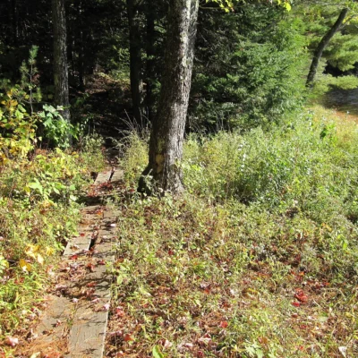
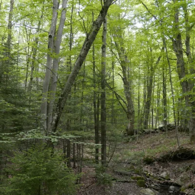
The trail starts at the campground in Townshend State Park and goes straight up. 1,100 feet of vertical gain in 1.7 miles. No switchbacks. No gentle approach. Just Vermont forest climbing toward a rocky ridge.
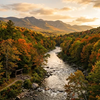
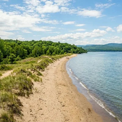
At the top, the trees open onto exposed ledges with views north, south, and east — across the West River valley, toward Mount Monadnock in New Hampshire, and into the rolling Green Mountain hills. It’s not the tallest peak in Vermont. It’s not the most famous. But it is one of the best short, hard hikes in southern Vermont — the kind of climb where you earn every inch of the view.
Trail Details
| Feature | Details |
|---|---|
| Distance | 3.4 miles round-trip (1.7 miles each way) |
| Elevation Gain | 1,100 feet — sustained climb. Moderate to strenuous |
| Summit Elevation | 1,680 feet |
| Surface | Forest trail transitioning to rocky ledge near the summit. Can be slippery when wet |
| Views | North, south, and east from exposed ledges. Mount Monadnock (NH) visible on clear days. West River valley below |
| Trailhead | Begins at the Townshend State Park campground. Day-use parking available |
The Hike
| Section | Description |
|---|---|
| Lower Trail (0–0.5 mi) | Hardwood forest — maple, birch, beech. Steady incline begins immediately. CCC-era trail construction visible in the stone steps |
| Mid-Mountain (0.5–1.2 mi) | The climb steepens. Mixed forest with spruce and hemlock appearing. Roots and rocks underfoot. The forest gets quieter |
| Summit Ridge (1.2–1.7 mi) | The trees thin. Rocky outcrops appear. The final push to exposed ledges with panoramic views. Sit on the rocks and breathe |
Best Time to Visit
| Season | Best For |
|---|---|
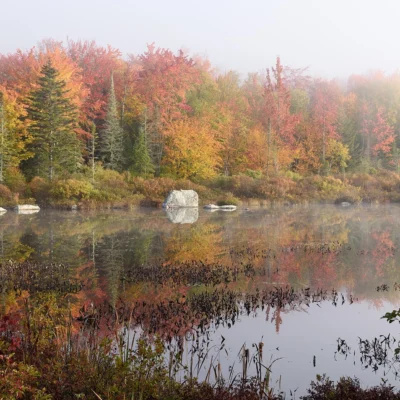
| Fall (Sep–Oct) | 🍂 Peak Vermont foliage from the summit. Red maple, golden birch. The view is a fire of color. Best hiking weather |
| Summer (Jun–Aug) | ☀️ Full canopy shade on the climb. Long days. Clear summit views. Combine with camping at Townshend SP |
| Spring (Apr–Jun) | Mud season early. Wildflowers later. Slippery rocks. Trail may have seasonal closures — check conditions |
| Winter (Nov–Mar) | Snow and ice on the trail. Microspikes recommended. Beautiful winter forest but summit ledges are exposed and cold |
Frequently Asked Questions
Is this the Bald Mountain with the fire tower?
No — that’s a different Bald Mountain. The well-known fire tower is on Bald Mountain in Westmore (Northeast Kingdom). This Bald Mountain in Townshend had a fire tower from 1924 to 1949, but it was removed. The summit views come from natural exposed ledges.
Can I camp at the trailhead?
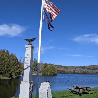
Yes — Townshend State Park has a campground at the base of the mountain. Camp, hike the mountain in the morning, and spend the afternoon at the West River. The campground is managed by Vermont State Parks.
How hard is the hike?
Moderate to strenuous. The 1,100-foot climb in 1.7 miles is sustained and steep in places. It’s not technical — no scrambling or exposure — but it’s a genuine workout. Anyone in reasonable fitness can complete it, but take your time on the ascent.
Nearby state parks: If you have extra time, Townshend State Park is a short drive away, and Jamaica State Park is a short drive away.
Camping reservations: Book campsites and cabins for Vermont state parks online at vtstateparks-visit.com.
⛰️ 1,100 Feet of Earned View — No Shortcuts
Straight up through Vermont hardwoods. Past CCC stone steps. Through spruce and hemlock. Onto exposed ledges where Monadnock floats on the horizon. 3.4 miles. Bring water.
Wildlife & Nature
Bald Mountain — a moderately strenuous hike with spectacular 360-degree summit views. The mountain’s mixed forest, rocky outcrops, and summit ledge support red-tailed hawks, peregrine falcons, and black bears. Wildflowers bloom along the trail in spring.
Nearby Attractions
Westmore — adjacent. Lake Willoughby — nearby — Vermont’s “Lucerne of America”.