🏆🏆🏆🏆 Red River Camping — Riverside recreation area in East Grand Forks on the Red River of the North
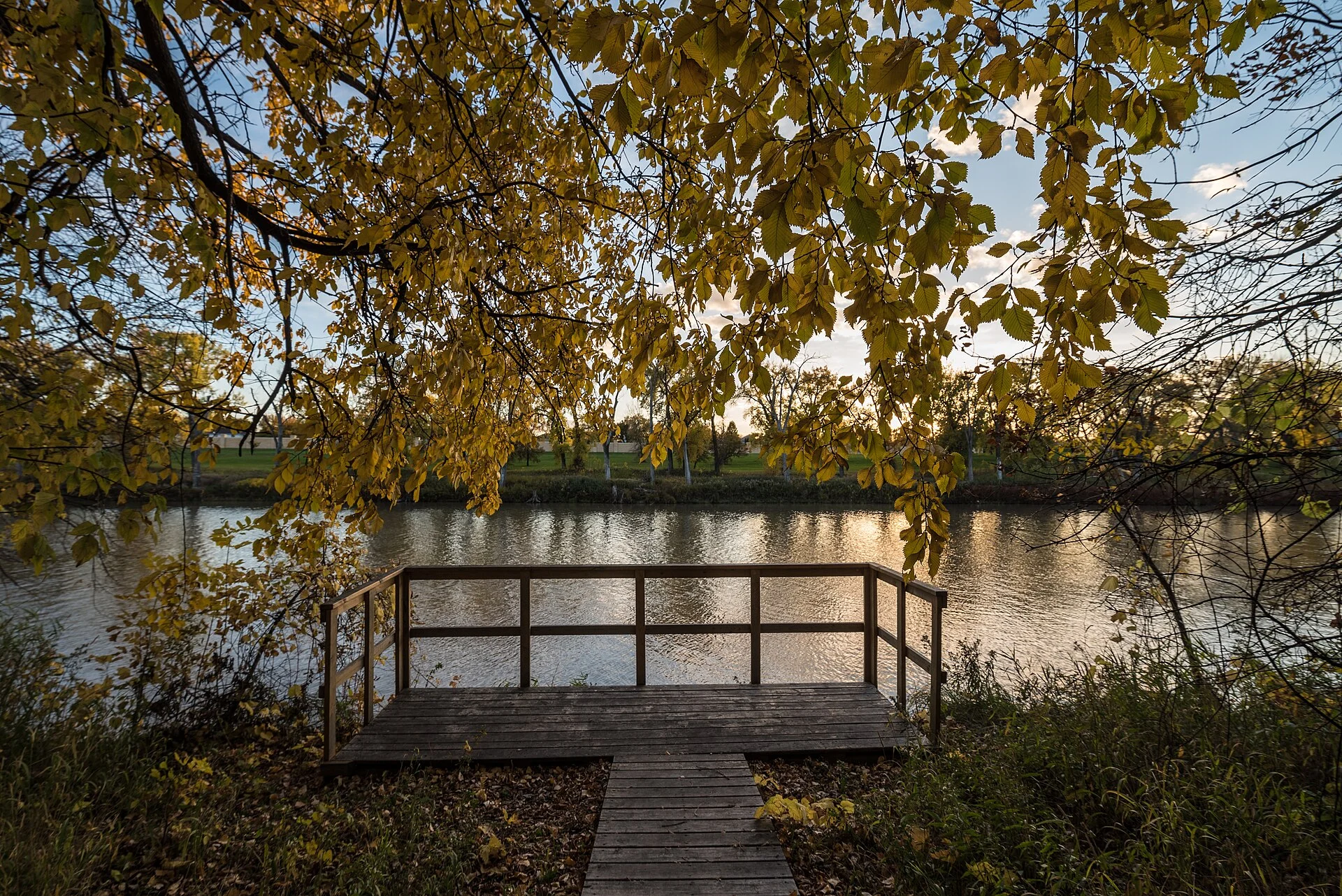
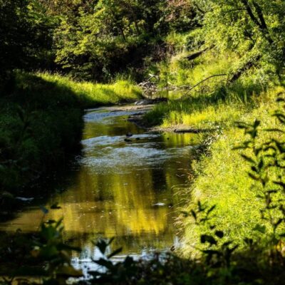
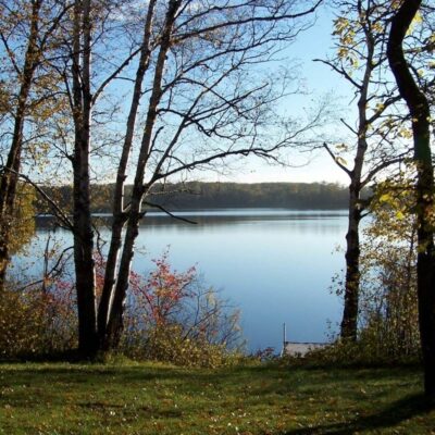
Red River State Recreation Area provides camping, trails, and river access on the Red River of the North in East Grand Forks. The Red River flows north — one of the few major North American rivers flowing toward the Arctic. The river corridor provides important habitat in the otherwise heavily farmed Red River Valley — the flattest landscape in Minnesota (an ancient lake bed). The park was developed on land cleared after the devastating 1997 Red River flood that inundated Grand Forks and East Grand Forks.
Visitor Information
| Detail | Information |
|---|---|
| Location | East Grand Forks, Polk County, MN |
| Entry Fee | MN State Park vehicle permit |
| River | Red River (flows north!) |
| History | Built on 1997 flood zone |
Frequently Asked Questions
Does it still flood?
After the catastrophic 1997 flood (over $3.5 billion in damage), extensive flood protection was built. The recreation area is designed to accommodate periodic flooding while protecting the community.
Why does the Red River flood?
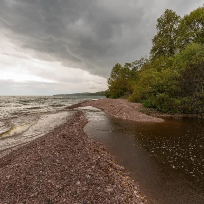
The Red River flows north — meaning spring snowmelt in the south reaches still-frozen sections downstream. Ice dams block flow and water backs up across the flat valley. The Red River Valley’s extreme flatness (the Lake Agassiz lakebed) means even small rises spread across miles. The 1997 flood covered 1,800 square miles — devastating Grand Forks.
Keep exploring: The closest neighbors are Old Crossing Treaty Historic Wayside: 96 (within about an hour’s drive) and Buffalo River State Park (elsewhere in the state).
Camping reservations: Book campsites and cabins for Minnesota state parks online at reservemn.usedirect.com.
🏕️ Visit Red River SRA
North-flowing river — camping on the Red River, risen from the 1997 flood.
About Red River SRA
Red River State Recreation Area in East Grand Forks provides recreation along the Red River of the North — the river that flows north to Lake Winnipeg in Canada. The area was developed after the devastating 1997 flood that inundated Grand Forks and East Grand Forks, converting flood-damaged properties into greenspace and recreation areas.
Things to Do
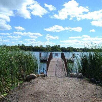
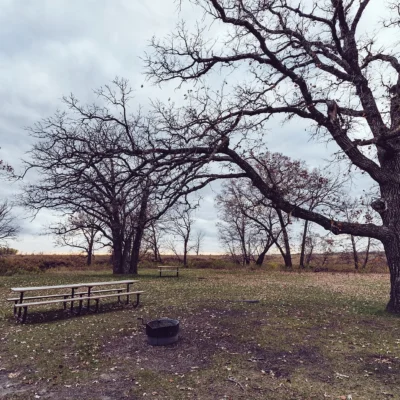
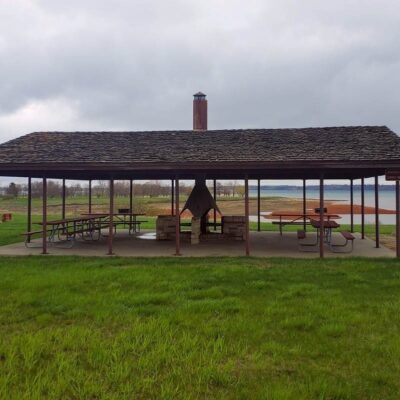
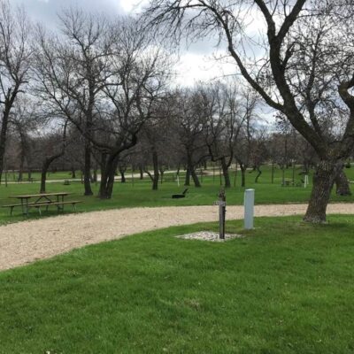
Camping (80+ sites), biking along the river, fishing, canoeing, visiting the flood memorial, and learning about the 1997 Red River flood and the community’s resilient response.
Insider Tips
Northern border: Red River SRA sits along the Red River of the North — the river that forms the Minnesota-North Dakota border and flows north to Canada. Pro tip: The Red River flows north — one of few major US rivers to do so. This northward flow into still-frozen regions causes massive spring flooding — Fargo-Moorhead and Grand Forks regularly experience floods. East Grand Forks: The SRA provides recreation on the Minnesota side of the river.
Best Time to Visit
Summer: River recreation and camping. Fall: Valley color and comfortable temperatures. Spring: Flood watching (safely). Winter: Cross-country skiing and winter camping.
Wildlife & Nature
Red River SRA — on the Red River of the North in East Grand Forks — provides recreation along the nation’s most flood-prone river. The park’s river, floodplain forest, and restored wetlands support bald eagles, white-tailed deer, and beavers. American white pelicans fish in groups. Channel catfish lurk in the deep holes.
Nearby Attractions
East Grand Forks — adjacent. Grand Forks, ND — across the river. Agassiz NWR — 50 miles northeast. Greenway Trail — connects flood protection and recreation.

Park Location

Top Tours & Activities in Minnesota
 from $79
 from $110
 from $195