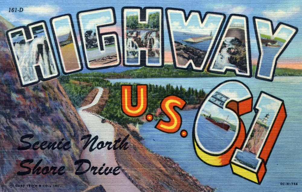
🏆 Official Guide: C.J. Ramstad / North Shore State Trail — A 146-mile premier snowmobile corridor connecting Duluth to Grand Marais through Minnesota’s rugged North Shore backcountry along Lake Superior.
The C.J. Ramstad / North Shore State Trail is a 146-mile motorized trail system running inland from Lake Superior through the boreal forests and ridgelines of northeastern Minnesota. Named for snowmobile safety advocate C.J. Ramstad, the trail connects Duluth to Grand Marais and serves as a major corridor linking dozens of local and Grant-in-Aid trail networks.
Trail Information
| Detail | Information |
|---|---|
| Length | 146 miles |
| Route | Duluth → Two Harbors → Silver Bay → Finland → Tofte → Lutsen → Grand Marais |
| Primary Use | Snowmobiling (winter) |
| Season | December – March (conditions dependent) |
| Terrain | Rugged backcountry forest, ridgelines, river crossings |
| Trail Pass Required | Yes — Minnesota snowmobile registration + trail sticker |
Trail Access Points
| Access Point | Location | Notes |
|---|---|---|
| Duluth | Southern terminus | Connects to Duluth-area trail system |
| Two Harbors | Mile ~25 | Parking, fuel, lodging |
| Silver Bay | Mile ~50 | Access via USFS Road #11, ~7 miles west of town |
| Finland | Mile ~75 (midpoint) | Key fuel/supply stop; intersection with Flathorn-Gegoka system |
| Tofte / Lutsen | Mile ~100 | Resort area; connects to Cascade Trail |
| Grand Marais | Northern terminus | Connects to Gunflint Trail system; 10 MPH in town |
Trail Conditions
The trail traverses remote, rugged terrain where conditions vary significantly by elevation and proximity to Lake Superior. The lake effect can create dramatically different snow conditions within a few miles. Always check the Minnesota DNR trail reports or local snowmobile club updates before riding.
Summer Use
While primarily a snowmobile trail, portions of the corridor are used for mountain biking, hiking, and ATV riding during summer months where permitted. Check Minnesota DNR for specific summer-use designations, as not all sections allow motorized summer traffic.
Nearby Communities & Services
| Town | Services |
|---|---|
| Two Harbors | Gas, food, lodging, snowmobile rentals |
| Silver Bay | Gas, food, lodging |
| Finland | Gas, basic supplies — critical midpoint stop |
| Tofte / Lutsen | Resorts, restaurants, ski area |
| Grand Marais | Full services, Gunflint Trail access |
Frequently Asked Questions
When does the North Shore State Trail open?
The trail typically opens when snow conditions allow, usually in December, and closes in March or early April as spring thaw begins. Opening dates vary by section and snowfall. Check Minnesota DNR trail condition reports for real-time status before planning your trip.
Can I ride a snowmobile in Grand Marais?
Yes, but with restrictions. Snowmobile use within Grand Marais city limits is limited to specific designated streets with a 10 MPH speed limit. The trail connects to the Gunflint Trail System north of town for access to additional backcountry riding.
Do I need a trail pass?
Yes. You need a valid Minnesota snowmobile registration and a trail sticker (annual or temporary) to ride on state trails. These can be purchased online through the Minnesota DNR or at local dealers and gas stations along the North Shore.
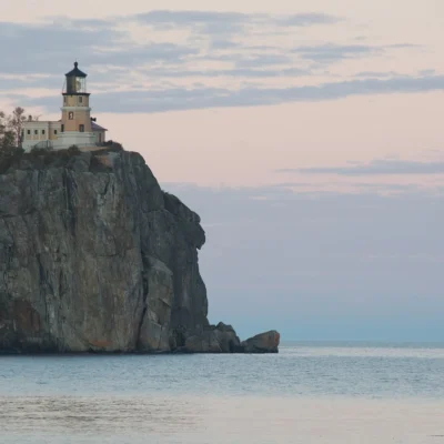
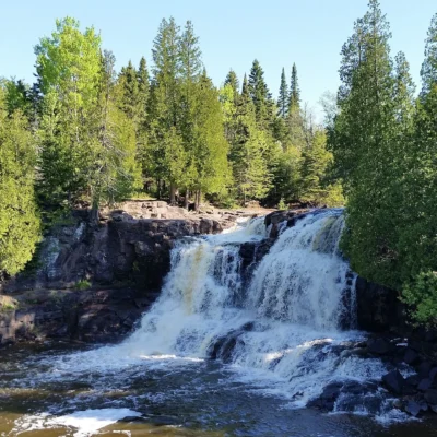
More parks nearby: Split Rock Lighthouse State Park is a short drive away, while Gooseberry Falls State Park lies a short drive away.

Park Location

Top Tours & Activities Near Duluth
 from $100
 from $161
 from $322