Trails of Tears State Park

🪶 3,415 Acres of Mississippi River Bluffs at a Sacred Cherokee Crossing — History, Hiking, and Bald Eagles — A solemn memorial to the Cherokee forced removal with 9-mile wilderness trail, limestone bluffs over the Mississippi, Lake Boutin fishing, and camping — Cape Girardeau County, Missouri
Trail of Tears State Park is one of the most historically significant state parks in America. Located on 3,415 acres of Mississippi River bluffs in southeast Missouri, the park marks the exact location where nine of the thirteen Cherokee detachments crossed the Mississippi River during the forced removal of 1838–1839 — the devastating march that killed an estimated 4,000 Cherokee people, nearly one-fourth of their population.
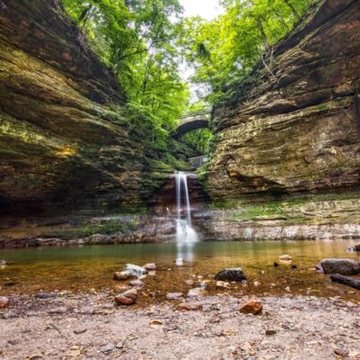
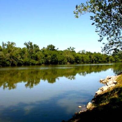
Today, the park serves a dual purpose: it is both a certified site on the Trail of Tears National Historic Trail and a premier outdoor recreation destination. The landscape features sharp ridges, deep ravines, mature hardwood forests, and towering limestone bluffs with sweeping views of the Mississippi River. The 1,300-acre Indian Creek Wild Area and the 300-acre Vancill Hollow Natural Area protect rare eastern species in one of Missouri’s most biodiverse landscapes.
Trails
| Trail | Distance | Difficulty | Highlights |
|---|---|---|---|
| Peewah Trail | 9 mi | Strenuous | Indian Creek Wild Area, backcountry camping |
| Lake Trail | 2.25 mi loop | Easy | Lake Boutin loop, fishing access |
| Sheppard Point Trail | 1.3 mi | Moderate | Ridge-top views, Mississippi River bluffs |
| Nature Trail | 0.6 mi | Easy | Near visitor center, interpretive |
What to Do
| Activity | Details | Notes |
|---|---|---|
| Visitor Center | Cherokee removal exhibits | Interpretive displays + memorial |
| Camping | Basic to full-hookup sites | Backcountry along Peewah Trail |
| Fishing | Lake Boutin (20 acres) | Bass, bluegill, catfish |
| Swimming | Lake Boutin beach | Seasonal |
| Eagle Watching | Bald eagles on Mississippi | Winter is peak season |
| Canoeing | Lake Boutin | Non-motorized boats |
Best Time to Visit
| Season | Weather | Best For |
|---|---|---|
| Spring (Apr–May) | 55–75°F | Wildflowers, migratory birds, trails |
| Summer (Jun–Aug) | 80–92°F | Swimming, camping, full programs |
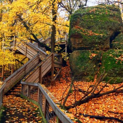
| Fall (Oct–Nov) | 45–68°F | Fall foliage on bluffs, best hiking weather |
| Winter (Dec–Feb) | 25–42°F | Bald eagle season, solitude |
💰 Trip Cost Estimator
| Expense | Cost | Notes |
|---|---|---|
| Day Use | FREE | No entrance fee |
| Basic Campsite | $14–$18/night | No hookups |
| Electric Campsite | $24–$28/night | Water + electric |
| Day Trip | FREE | Visitor center + trails + lake |
Frequently Asked Questions
What happened here historically?
During the winter of 1838–1839, nine Cherokee detachments crossed the Mississippi River at this location during the forced removal known as the Trail of Tears. An estimated 4,000 people died during the march. The park preserves this history as a certified site on the Trail of Tears National Historic Trail.
Can I see bald eagles?
Yes. The Mississippi River bluffs are a prime wintering area for bald eagles. Peak viewing is December through February.
Is the Peewah Trail worth it?
Yes — for experienced hikers. The 9-mile trail through the 1,300-acre Indian Creek Wild Area is strenuous but offers true backcountry solitude. Primitive camping is available along the trail.
🪶 A Sacred Crossing, A Living Memorial
3,415 acres of Mississippi River bluffs where the Cherokee crossed during the Trail of Tears — hiking, camping, eagle watching, and one of America’s most important historic parks.
Wildlife & Nature
Trail of Tears SP — on the Mississippi River bluffs — marks the Cherokee crossing during the 1838-39 forced removal. Bald eagles and wild turkeys inhabit the river bluffs. White-tailed deer are abundant.
Nearby Attractions
Cape Girardeau — 10 miles north. Mississippi River — adjacent.