Fountain Bluff (Shawnee National Forest)
🗿 The Ultimate Guide to Illinois’ Ancient Rock Art Site – Updated 2025
An Island in Time
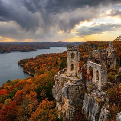
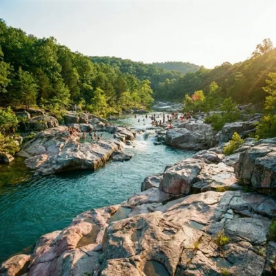
Rising dramatically from the Mississippi River floodplain in Jackson County, Illinois, Fountain Bluff is a geological anomaly and a sacred historical site. Geologically, it is an “island” of the Shawnee National Forest, isolated when the Mississippi River carved a new channel during the Ice Age. Culturally, it is one of the most significant Native American rock art sites in the Midwest.
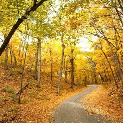
For outdoor enthusiasts and history buffs, Fountain Bluff offers a rugged adventure. Visitors come to hike the steep sandstone cliffs, marvel at ancient petroglyphs created by the Mississippian culture (850–1500 AD), and enjoy panoramic views of the river valley. This is not a manicured park with playgrounds; it is a wild, historic site that demands respect and caution.
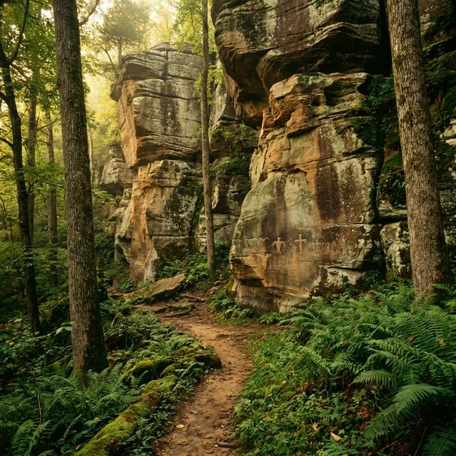
The Petroglyphs (Rock Art)
Fountain Bluff is famous for its carvings, etched into the soft sandstone walls centuries ago.
What to Look For
- Thunderbirds: Stylized bird figures representing power and the upper world.
- Crosses & Circles: Geometric symbols often associated with the four directions or celestial bodies.
- Human Figures: Anthropomorphic carvings that may represent ancestors or shamans.
Preservation Warning: These carvings are fragile and irreplaceable. Do not touch, chalk, or trace the petroglyphs. The oils from your skin degrade the sandstone. Take only photos.
Hiking the Bluff
Accessing the best sites requires a bit of effort. The terrain is rugged, steep, and often slippery.
Trails & Access
| Route | Difficulty | Description |
|---|---|---|
| Fountain Bluff North | Moderate | A trail leading to a scenic overlook. Great for views of the Mississippi floodplain. |
| Petroglyph Site | Strenuous | Located off Fountain Bluff Road. Requires a steep scramble up the embankment to the cliff base. Watch for loose rock. |
| Happy Hollow | Easy/Mod | A cooler, shaded area on the east side, known for spring wildflowers and unique rock formations. |
Geology & Nature
The bluff stands as a testament to the power of water.
- The “Lost” Channel: Thousands of years ago, the Mississippi River flowed on the east side of Fountain Bluff. Glacial ice blocked the river, forcing it to cut the channel on the west side where it flows today.
- Sandstone Cliffs: The vertical walls are composed of Caseyville Sandstone, creating the perfect canvas for ancient artists and modern climbers (though climbing is restricted in art areas).
- Wildlife: The isolated nature of the bluff makes it a haven for timber rattlesnakes (watch your step!), pileated woodpeckers, and bald eagles.
Planning Your Visit
Quick Facts
| Feature | Details |
|---|---|
| Management | US Forest Service (Shawnee National Forest) |
| Fees | Free |
| Facilities | None (No toilets or water on-site) |
| Best Season | Winter/Spring (Better visibility of carvings when leaves are down) |
Getting There
Fountain Bluff is located south of Gorham, IL.
- Take Highway 3 to Gorham.
- Head south on Fountain Bluff Road.
- Look for the small parking pull-offs along the base of the cliffs. The petroglyphs are typically found on the south/southwest facing walls.
Safety & Regulations
- Respect Private Property: Some areas near the bluff are private land. Stick to the National Forest boundaries.
- Snake Warning: This is prime habitat for venomous snakes. Stay on established paths and do not reach into crevices.
- Leave No Trace: Pack out all trash. Graffitists have damaged this site in the past; be a steward of the land.
Frequently Asked Questions
Is there camping?
No, there is no camping allowed on Fountain Bluff itself. The nearest camping is at Lake Murphysboro State Park or other Shawnee National Forest campgrounds.
Is it kid-friendly?
Only for older, adventurous kids. The terrain is steep, there are sheer drop-offs, and the poison ivy can be thick in summer. Toddlers should generally not hike the scramble to the carvings.
Can I define the carvings?
Absolutely not. Identifying them with chalk or paint is vandalism and is illegal on federal land. It destroys the archaeological integrity of the site.
Are Illinois state parks free?
Yes, all Illinois state parks offer free admission year-round. There are no vehicle permits or entrance fees. Camping fees apply separately and can be reserved through the Illinois DNR reservation system.
How do I avoid crowds at Starved Rock?
Starved Rock State Park fills its parking lot before 9 AM on weekends, especially during fall color season. Arrive early, visit mid-week, or explore less-crowded alternatives like Matthiessen State Park just 2 miles south.
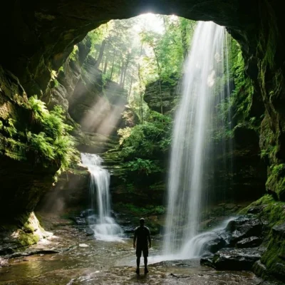
Can I see frozen waterfalls in Illinois?
Yes, Starved Rock and Matthiessen State Parks are famous for their dramatic frozen waterfall and ice formations during winter (January-February). The ice canyons are a unique and increasingly popular winter attraction.
What are the best state parks near Chicago?
Popular parks within 2 hours of Chicago include Starved Rock, Matthiessen, Illinois Beach (on Lake Michigan), Chain O’ Lakes, and Kankakee River. Starved Rock is the most popular and just 90 minutes from downtown.
Explore More Illinois State Parks
Fountain Bluff (Shawnee National Forest) is one of many outstanding state parks in Illinois. Discover more parks in our Best State Parks in Illinois guide, or use our Park Finder to search by activity, location, or features.