🌤 Weather at Cataract Falls State Recreation Area by season
| Spring | Summer | Fall | Winter |
|---|---|---|---|
| 31–74 °F | 60–85 °F | 32–79 °F | 20–42 °F |
Each range runs from the coldest monthly average low to the warmest monthly average high in that season (1991-2020 climate normals), measured at Spencer, 11 mi away, elevation 549 ft. Conditions at the park can differ from the station, especially where elevation differs — check a forecast before you go.

💧 Indiana’s Largest Waterfall — Upper Falls (45 ft) and Lower Falls (30 ft) on Mill Creek — Two massive cascades connected by a forest trail, the last covered bridge in Owen County, and Cagles Mill Lake — one hour southwest of Indianapolis
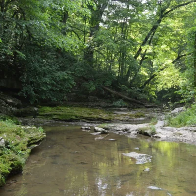
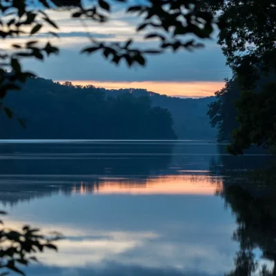
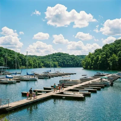
Cataract Falls State Recreation Area is home to the largest waterfall in Indiana by volume — and most Hoosiers don’t even know it exists. Two separate waterfalls on Mill Creek — the 45-foot Upper Falls and the 30-foot Lower Falls — thunder over limestone ledges about a mile apart, connected by a forested trail that follows the creek through a gorge of moss-covered rock and hardwood canopy. Just upstream of the Upper Falls stands Owen County’s last surviving covered bridge — a photogenic wooden structure that frames the approach to the falls perfectly. Below the Lower Falls, Mill Creek empties into Cagles Mill Lake (also called Lieber Lake), adding fishing and boating to the waterfall experience.
Located in northern Owen County, about one hour southwest of Indianapolis, Cataract Falls is accessible enough for a day trip but feels remarkably remote. The recreation area is compact — focused entirely on the two waterfalls and the creek corridor — but what it lacks in acreage it compensates in concentrated natural drama. After heavy rain, the Upper Falls becomes a roaring curtain of whitewater across its full 45-foot ledge, making it one of the most impressive waterfall displays east of the Mississippi.
The Waterfalls
Upper Falls — 45 Feet
The Upper Falls is easily accessible from the main parking area — a short walk brings you to overlook platforms with dramatic head-on views. The falls drop off a wide limestone shelf, and after spring rains the entire shelf runs white with water. The flow varies dramatically with the season: a thundering curtain in March–May, a more modest cascade in late summer, and a thin veil over ice-coated rock in winter. The historic covered bridge sits immediately upstream — walk through it for a unique perspective of the falls framed by weathered timber.
Lower Falls — 30 Feet
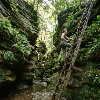
The Lower Falls are located approximately one mile downstream, accessible either by the connecting hiking trail or by driving to a separate parking area. The Lower Falls are shorter but wider, with Mill Creek spreading across a broader ledge before tumbling into the pool where it meets Cagles Mill Lake. The surrounding landscape is wilder and less developed than the Upper Falls area — more old-growth hardwoods, more boulder fields, more solitude.
Trail Guide
| Trail | Distance | Difficulty | Highlights |
|---|---|---|---|
| Upper to Lower Falls Trail | 1 mi OW | Moderate | Creek gorge, forest, connects both falls |
| Ed Dailey Nature Trail | 0.5 mi | Easy | Accessible, boardwalks, falls views |
| Upper Falls Overlook | 0.2 mi | Easy | Quick access to Upper Falls viewpoints |
Best Time to Visit
| Season | Weather | Water Flow | Best For |
|---|---|---|---|
| Spring (Mar–May) | 45–72°F | Peak | Maximum waterfall volume, wildflowers |
| Summer (Jun–Aug) | 72–88°F | Low-Moderate | Swimming near Cagles Mill, hiking |
| Fall (Sep–Nov) | 48–72°F | Moderate | Foliage with falls, photography |
| Winter (Dec–Feb) | 22–42°F | Variable | Ice formations, solitude, covered bridge |
💰 Trip Cost Estimator
| Expense | Indiana Resident | Out-of-State | Notes |
|---|---|---|---|
| Vehicle Entrance | $7 | $9–$10 | Per vehicle |
| Annual IN State Parks Pass | $50 | $70 | All Indiana parks |
| Total Day Trip | $7 | $9–$10 | No camping available |
⚠️ Safety Information
| Hazard | Risk Level | Prevention |
|---|---|---|
| 🌊 Slippery Rocks | High | Stay on designated trails and overlooks |
| 🚫 No Swimming at Falls | High | Swimming/climbing on rocks is prohibited |
| 🌧️ Flash Flooding | Moderate | Mill Creek rises quickly after rain — stay off creek bed |
| 🌿 Uneven Trail | Moderate | Roots, rocks, natural steps — proper footwear |
📸 Photography Guide: Best Shots at Cataract Falls
• Upper Falls Long Exposure: Tripod essential. 0.5–2 second exposure with ND filter to turn the 45-foot cascade into a silky curtain. Best after spring rain when the full limestone shelf is running. Shoot from the lower overlook for maximum foreground.
• Covered Bridge + Falls: Use the bridge as a frame — stand inside looking through the covered bridge toward the falls. The weathered timbers create powerful leading lines.
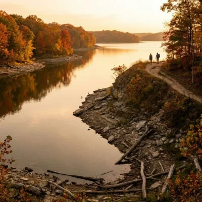
• Fall Foliage: Mid-October, the hardwood canopy along the creek trail turns gold and scarlet. The Lower Falls with autumn trees reflected in the pool is the signature shot.
• Frozen Falls (Winter): Ice formations on the 45-foot Upper Falls ledge are spectacular in January–February. Early morning for best light on east-facing rock.
Frequently Asked Questions
Is Cataract Falls really the largest waterfall in Indiana?
Yes, by volume. The Upper Falls (45 feet) is the tallest, and when combined with the Lower Falls (30 feet), Cataract Falls is Indiana’s largest and most impressive waterfall system.
Can you swim at Cataract Falls?
No. Swimming and climbing on the rocks near the waterfalls are prohibited for safety and environmental protection. For swimming, visit nearby Cagles Mill Lake.
How long is the hike between the two falls?
Approximately 1 mile one-way. The connecting trail follows Mill Creek through a forested gorge. Alternatively, you can drive between separate parking areas for each waterfall.
Is there camping at Cataract Falls?
Not at the falls themselves. However, nearby Lieber State Recreation Area on Cagles Mill Lake offers full camping facilities, cabins, and boat access.
What is the covered bridge at Cataract Falls?
The last surviving covered bridge in Owen County spans Mill Creek just upstream of the Upper Falls. Built in the 19th century, it’s a popular photography subject and provides a unique framed view of the waterfall.
How far is Cataract Falls from Indianapolis?
Approximately 60 miles (1 hour) southwest via I-70 and SR-243. It makes an easy half-day or full-day trip from Indianapolis, Bloomington, or Terre Haute.
When is the best time to see the falls at full volume?
March through May — spring snowmelt and rain produce the highest water flow. The Upper Falls becomes a thundering curtain across its full 45-foot limestone ledge.
Is there an entrance fee?
Yes. $7 per vehicle for Indiana residents, $9–$10 for out-of-state visitors. Annual Indiana State Parks passes are accepted.
Nearby parks: If you have extra time, Lieber State Recreation Area is a short drive away, and McCormicks Creek State Park is a short drive away.
Camping reservations: Book campsites and cabins for Indiana state parks online at indianastateparks.reserveamerica.com.
💧 Ready to Visit Cataract Falls?
Indiana’s largest waterfall is just an hour from Indianapolis — two massive cascades connected by a forest trail with a historic covered bridge. Visit in spring for maximum water flow, or fall for the finest foliage photography in the state.
Wildlife & Nature
Cataract Falls SRA — features Cataract Falls — the largest waterfall (by volume) in Indiana — with an upper falls (30 feet) and lower falls (18 feet). The area’s Mill Creek, hardwood forest, and ravines support white-tailed deer, great blue herons, and spotted salamanders.
Nearby Attractions
Cloverdale — nearby. Owen County — surrounding. Lieber SRA — adjacent.

🐾 Dogs & Pets at Cataract Falls State Recreation Area
- Pets allowed? statewide rule
- Pets are allowed throughout Indiana state park properties, including trails, but must be on a 6-foot leash or in a cage at all times.
- Leash rule statewide rule
- 6 ft leash applies to the entire property; electric collars/fences do not substitute
- Beaches & swim areas statewide rule
- Pets (except service animals) are prohibited from swimming pools and beaches unless an area is specifically designated for pets
- Cabins & lodging statewide rule
- Designated pet-friendly rooms and cabins at all seven Indiana State Park Inns accept dogs and cats up to 75 lbs, max two pets, for $25 per pet per night
- Pet fees statewide rule
- No day-use pet fee; $25 per pet per night at State Park Inns' pet-friendly rooms/cabins
- Statewide exceptions statewide rule
- At eight reservoir properties (including Patoka, Brookville and Monroe) dogs may be off leash in lawful pursuit of wild animals or in licensed field trials
Are dogs allowed at Cataract Falls State Recreation Area?
Pets are allowed throughout Indiana state park properties, including trails, but must be on a 6-foot leash or in a cage at all times. Individual parks can post stricter rules — check signage on arrival.
Rules verified July 2026 via in.gov. More: Indiana state parks guide · Dog rules in all 50 states compared
Park Location
Plan your gear for Cataract Falls State Recreation Area
From our editorial guides, matched to this park’s activities: