🌤 Weather at Lieber State Recreation Area by season
| Spring | Summer | Fall | Winter |
|---|---|---|---|
| 31–74 °F | 60–85 °F | 32–79 °F | 20–42 °F |
Each range runs from the coldest monthly average low to the warmest monthly average high in that season (1991-2020 climate normals), measured at Spencer, 11 mi away, elevation 549 ft. Conditions at the park can differ from the station, especially where elevation differs — check a forecast before you go.

🌊 Home of Indiana’s Largest Waterfall — A 1,400-acre flood-control reservoir paired with Cataract Falls (the largest waterfall in Indiana), an Aquatic Center with water slide, full marina with boat rentals, camping, covered bridge trail, and diverse fishing on Cagles Mill Lake
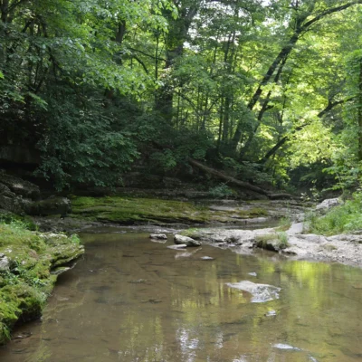
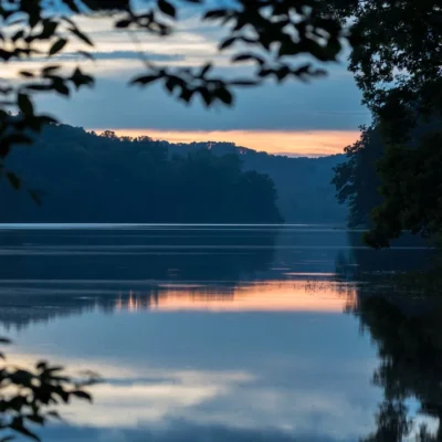
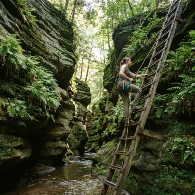
In the wooded limestone hills of Owen County, where Mill Creek cascades over two massive ledges into deep plunge pools, Lieber State Recreation Area encompasses one of Indiana’s most surprising landscapes: a 1,400-acre reservoir surrounded by hardwood forest, paired with Cataract Falls — the largest waterfall by volume in Indiana. Most people don’t associate Indiana with waterfalls, and that’s precisely what makes Cataract Falls so impactful: two sets of falls (Upper and Lower), separated by about a mile of forested creek, each dropping over wide limestone ledges in a spectacle that belongs more to Appalachia than the Midwest.
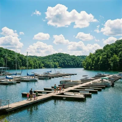
Cagles Mill Lake — Indiana’s first flood control reservoir, completed in 1953 — anchors the recreation area. The lake sprawls across 1,400 acres of backed-up water behind Cagles Mill Dam on Mill Creek, offering boating (including waterskiing), a full marina with boat rentals, camping, swimming at a state-of-the-art Aquatic Center with water slides, and fishing for bass, bluegill, catfish, and crappie. The combination of Indiana’s biggest waterfall and a full-service lake recreation area, all within 90 minutes of Indianapolis, makes Lieber one of the best-value outdoor destinations in the state.
Cataract Falls — Indiana’s Largest
| Feature | Details |
|---|---|
| Claim | Largest waterfall by volume in Indiana |
| Upper Falls | ~30 feet drop over broad limestone ledge |
| Lower Falls | ~18 feet drop with deep plunge pool |
| Distance Apart | ~1 mile (connected by trail) |
| Creek | Mill Creek |
| Access | Separate entrance from main Lieber SRA |
Important: Cataract Falls is part of the broader Lieber/Cagles Mill Lake complex but has its own entrance and parking area, separate from the main Lieber SRA beach and campground. Check directions carefully — GPS may route you to the wrong entrance.
Cagles Mill Lake
| Feature | Details |
|---|---|
| Surface Area | 1,400 acres |
| Type | Indiana’s first flood control reservoir (1953) |
| Motor Policy | Unlimited horsepower — skiing/watersports allowed |
| Marina | Full-service — boat/kayak rentals, fuel, slips |
| Boat Ramps | Multiple paved ramps |
Aquatic Center
| Feature | Details |
|---|---|
| Pool | State-of-the-art swimming pool |
| Water Slide | Yes |
| Season | Memorial Day – Labor Day |
| Note | No lake swimming — pool only |
Camping
| Type | Details |
|---|---|
| Class A (Electric) | Poplar Grove campground — electric hookups |
| Class B (Primitive) | Sunny Acres — non-electric, wooded |
| Amenities | Restrooms, dump station |
| Season | Seasonal (check with park office) |
Trails
| Trail | Difficulty | Highlights |
|---|---|---|
| Covered Bridge Nature Trail | Easy (ADA accessible) | Historic covered bridge, woodland |
| Two Falls Trail | Moderate | Connects Upper and Lower Cataract Falls |
| Lakeside Trails | Easy-Moderate | Lake views, forest |
Fishing
| Species | Season | Notes |
|---|---|---|
| Largemouth Bass | Spring, Summer | Weed edges, structure |
| Crappie | Spring | Brush piles, submerged timber |
| Bluegill | Summer | Bank fishing, docks |
| Channel Catfish | Summer | Night fishing, cut bait |
Essential Visitor Information
| Detail | Information |
|---|---|
| Address | 1317 West Lieber Road, Cloverdale, IN 46120 |
| Hours | Open year-round (facility hours vary) |
| Entrance Fee | Indiana State Park vehicle pass required |
| Phone | (765) 276-0194 |
Getting There
- From Indianapolis: 55 miles southwest (~1 hour)
- From Bloomington: 35 miles northeast (~45 minutes)
- From Terre Haute: 50 miles east (~55 minutes)
Wildlife & Nature
Lieber SRA — on Cagles Mill Lake (1,400 acres) — Indiana’s oldest flood-control reservoir. The area’s lake, hardwood forest, and rolling hills support bald eagles, ospreys, and white-tailed deer.
Nearby Attractions
Cloverdale — nearby. Cataract Falls — adjacent — Indiana’s largest waterfall. Owen County — surrounding.
Insider Tips
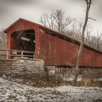
Cagles Mill Lake: Lieber surrounds Indiana’s oldest flood-control reservoir — Cagles Mill Lake (1,400 acres). Pro tip: The covered bridge at the park entrance is one of Indiana’s most photographed — the state has more covered bridges than any other except Pennsylvania. Fishing: Excellent bass and bluegill.
Best Time to Visit
Fall: Covered bridge with foliage — peak photography. Summer: Swimming and boating. Spring: Dogwood blooms. Winter: Eagle watching near the dam.
Frequently Asked Questions
How many covered bridges does Indiana have?
Indiana has over 90 covered bridges — second only to Pennsylvania in the US. Parke County alone has 31, earning it the title “Covered Bridge Capital of the World.” The annual Covered Bridge Festival in October draws 500,000+ visitors. Lieber SRA’s bridge is a popular example.
Is Cataract Falls really Indiana’s biggest waterfall?
Yes! Cataract Falls is the largest waterfall by volume in Indiana, consisting of two separate falls on Mill Creek — an Upper Falls (~30 feet) and a Lower Falls (~18 feet), separated by about a mile of forested trail. The falls are part of the Lieber State Recreation Area/Cagles Mill Lake complex but have their own separate entrance and parking area.
Can you swim in Cagles Mill Lake?
Not in the lake itself. Lieber SRA offers a state-of-the-art Aquatic Center with a swimming pool and water slide, open from Memorial Day through Labor Day. Lake swimming is not permitted, but the lake is open for boating, waterskiing, kayaking, and fishing with unlimited horsepower.
Keep exploring: The closest neighbors are Cataract Falls State Recreation Area (a short drive away) and McCormicks Creek State Park (a short drive away).
Camping reservations: Book campsites and cabins for Indiana state parks online at indianastateparks.reserveamerica.com.

🐾 Dogs & Pets at Lieber State Recreation Area
- Pets allowed? statewide rule
- Pets are allowed throughout Indiana state park properties, including trails, but must be on a 6-foot leash or in a cage at all times.
- Leash rule statewide rule
- 6 ft leash applies to the entire property; electric collars/fences do not substitute
- Beaches & swim areas statewide rule
- Pets (except service animals) are prohibited from swimming pools and beaches unless an area is specifically designated for pets
- Cabins & lodging statewide rule
- Designated pet-friendly rooms and cabins at all seven Indiana State Park Inns accept dogs and cats up to 75 lbs, max two pets, for $25 per pet per night
- Pet fees statewide rule
- No day-use pet fee; $25 per pet per night at State Park Inns' pet-friendly rooms/cabins
- Statewide exceptions statewide rule
- At eight reservoir properties (including Patoka, Brookville and Monroe) dogs may be off leash in lawful pursuit of wild animals or in licensed field trials
Are dogs allowed at Lieber State Recreation Area?
Pets are allowed throughout Indiana state park properties, including trails, but must be on a 6-foot leash or in a cage at all times. Individual parks can post stricter rules — check signage on arrival.
Rules verified July 2026 via in.gov. More: Indiana state parks guide · Dog rules in all 50 states compared
Park Location
Plan your gear for Lieber State Recreation Area
From our editorial guides, matched to this park’s activities: