

🌤 Weather at Larson Lot Wildlife Management Area by season
| Spring | Summer | Fall | Winter |
|---|---|---|---|
| 30–71 °F | 60–85 °F | 35–76 °F | 20–42 °F |
Each range runs from the coldest monthly average low to the warmest monthly average high in that season (1991-2020 climate normals), measured at Hartford Brainard Field, 17 mi away, elevation 19 ft. Conditions at the park can differ from the station, especially where elevation differs — check a forecast before you go.

Larson Lot Wildlife Management Area is a 206-acre hunting area in Colchester, New London County, listed by the Connecticut Department of Energy and Environmental Protection (DEEP) as a wildlife management area.
Visitor Information
| Detail | Information |
|---|---|
| Location | Shailor Hill Road, Colchester, CT 06415 (DEEP hunting area map, U.S. Census) |
| Size | 206 acres (DEEP hunting area map, as of October 2026) |
| Type | Hunting area listed as a wildlife management area (DEEP) |
| Entry Fee | No entrance fee is listed by DEEP (as of October 2026) |
| Hunting | State hunting area (DEEP, as of October 2026) |
Frequently Asked Questions
Is hunting allowed at Larson Lot WMA?
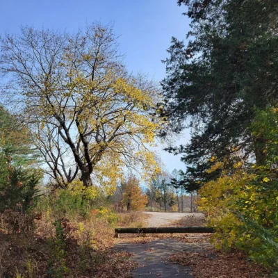
Yes. DEEP’s hunting-area data (as of October 2026) list 206 acres of Larson Lot WMA as a state hunting area. It is open for small game, stocked pheasant, waterfowl, spring and fall turkey (archery and firearms), archery deer, firearms deer without a lottery, and muzzleloader deer hunting. Pheasant hunting takes place in the fields beyond the gate in the parking lot. The area adjoins Salmon River State Forest, which is open to hunting, and Day Pond State Park, which is not. Check the DEEP hunting area map and the current Connecticut Hunting and Trapping Guide for season dates before you go.
Where do I park for Larson Lot WMA?
From Route 149, follow Shailor Hill Road to the parking area. (DEEP hunting area map, as of October 2026)
Who owns Larson Lot WMA?
DEEP lists Larson Lot as a wildlife management area. Town land records show the State of Connecticut as owner of the parcel at the parking area. For rules beyond hunting, contact DEEP’s Wildlife Division (as of October 2026).
About Larson Lot WMA
DEEP’s mapped property boundary lies in Colchester.
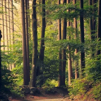
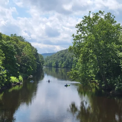
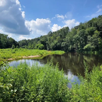
The 2021 National Land Cover Database (NLCD) maps the area as 93 percent forest and 4 percent wetland.
Things to Do
Hunters can use the area for small game, stocked pheasant, waterfowl, spring and fall turkey (archery and firearms), archery deer, firearms deer without a lottery, and muzzleloader deer hunting under DEEP’s rules for this area.
Nearby Attractions
Salmon River State Forest, a 6,623-acre state forest, borders the area to the north. Day Pond State Park, a 183-acre state park, borders the area to the south. Meadow Brook Wildlife Management Area, a 266-acre wildlife management area, is about 1 mile northeast. Sunrise State Park, a 145-acre state park, is about 5 miles southwest. Distances are straight-line between the DEEP property boundaries; acreages are DEEP’s mapped figures.

Park Map
Top Tours & Activities Near Hartford
 from $140
 from $128
 from $285