Photo: sheffieldb, CC BY 2.0, via Wikimedia Commons
🌤 Weather at Pickle Springs Natural Area by season
| Spring | Summer | Fall | Winter |
|---|---|---|---|
| 34–77 °F | 63–88 °F | 34–81 °F | 23–48 °F |
Each range runs from the coldest monthly average low to the warmest monthly average high in that season (1991-2020 climate normals), measured at Farmington, 6 mi away, elevation 900 ft. Conditions at the park can differ from the station, especially where elevation differs — check a forecast before you go.

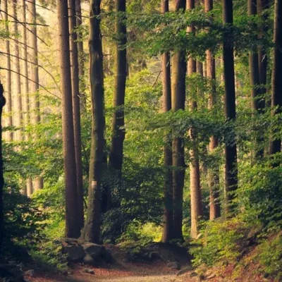
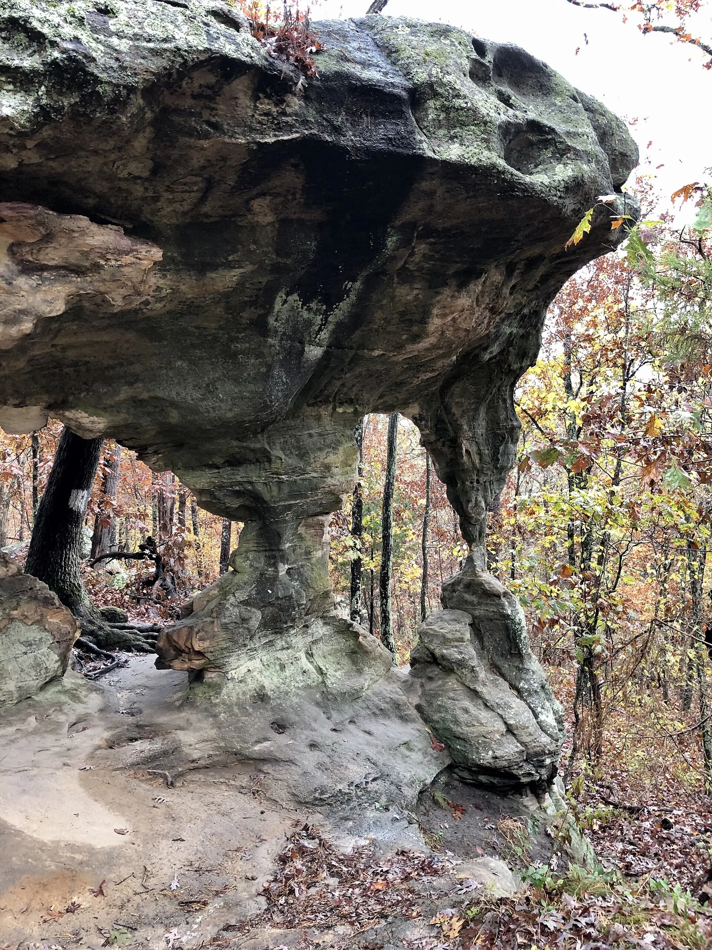
Pickle Springs Natural Area is a 256.5-acre conservation area in Ste. Genevieve County, a short drive east of Farmington, run by the Missouri Department of Conservation (MDC). It is not a Missouri state park. MDC acquired the land in 1984 and designated 180 acres of it a Missouri natural area in 1986; the site is also registered as a National Natural Landmark. A 2-mile loop, the Trail Through Time, leads past sandstone arches, slot-like canyons, hoodoos and wet-weather waterfalls.
Quick Facts
| State | Missouri |
| Managed by | Missouri Department of Conservation (MDC) |
| County | Ste. Genevieve County |
| Size | 256.5 acres, 180 of them designated natural area |
| Natural area since | 1986 |
| Open | 4 a.m. to 10 p.m. daily (as of October 2026) |
| Trail | Trail Through Time, 2-mile loop |
Location & Getting There
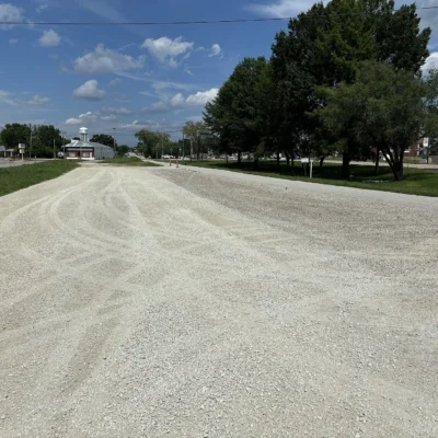
From the junction of Highways 32 and W in Farmington, drive east on Highway 32 for 5 miles, then turn right (east) onto Highway AA. Follow AA for 1.7 miles to Dorlac Road, a gravel road, turn left (north) and drive 0.4 mile to the parking lot on the right. MDC offers an area map on its Pickle Springs page.
Things to Do
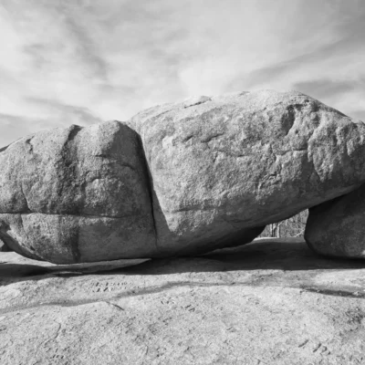
You come here to hike. The Trail Through Time loops for 2 miles past most of the area’s rock formations: a double arch that holds up a shelf of sandstone, narrow slot-like canyons, hoodoos (mounds and pillars of weathered sandstone), the spring that gives the area its name and sandstone talus slopes. The sandstone and the rare plants on it are fragile, so MDC strongly encourages you to stay on the trail. Bird watching is the other activity MDC lists. Hunting, camping and target shooting are not allowed, and bicycles may not use service roads that pass through the natural area.
Best Time to Visit
The area is open from 4 a.m. to 10 p.m. daily (as of October 2026). Come in spring for the rose azalea blooming along the sandstone valley. The waterfalls run in wet weather, so the days after a good rain show them at their best.
Visitor Tips
Pickle Springs is run by the Missouri Department of Conservation, not by Missouri State Parks, and MDC lists no entrance fee (as of October 2026). MDC’s area plan lists one parking lot and the hiking trail as the facilities, so bring water. Pets are allowed on a leash. You may not collect plants, edible wild greens or animals here, dig, or set up trail cameras. For questions, call MDC’s Southeast Regional Office at (573) 290-5730.
Explore More Parks in Missouri
Pickle Springs Natural Area is a Missouri Department of Conservation area, not a state park. Discover more parks in our Best State Parks in Missouri guide, or use our Park Finder to search by activity, location, or features.
Wildlife & Nature
The rock here is Lamotte sandstone, laid down as beach sand along a shallow sea about 500 million years ago and exposed again by erosion and the uplift of the Ozark Plateau. The cool, moist canyons hold glacial relicts, species that were more common when Missouri’s climate was colder and wetter: the four-toed salamander, hay-scented fern, large whorled pogonia and ground cedar, all species of conservation concern, plus rattlesnake plantain and shining clubmoss. More than 250 vascular plant species grow here, and the canyon walls carry over 40 species of liverworts, one of the richest spots for them in Missouri. On the ridge tops, white and black oak and shortleaf pine stand over low bush blueberry and farkleberry. Along Pickle Creek, watch for pickerel, green and southern leopard frogs; an amphipod known from nowhere else lives in the spring water. The name goes back to William Pickle, who acquired the land in 1848.
Nearby parks: If you have extra time, Hawn State Park is a short drive away, and St. Joe State Park is a short drive away.

Park Map
Plan your gear for Pickle Springs Natural Area
From our editorial guides, matched to this park’s activities: