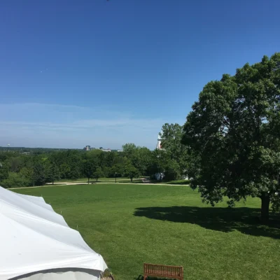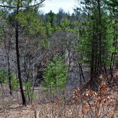

Photo: pixn8tr, CC BY-SA 2.0, via Wikimedia Commons
🌤 Weather at Dells of the Eau Claire County Park by season
| Spring | Summer | Fall | Winter |
|---|---|---|---|
| 21–67 °F | 54–80 °F | 25–70 °F | 7–28 °F |
Each range runs from the coldest monthly average low to the warmest monthly average high in that season (1991-2020 climate normals), measured at Wausau Dwtn Airport, 15 mi away, elevation 1,181 ft. Conditions at the park can differ from the station, especially where elevation differs — check a forecast before you go.

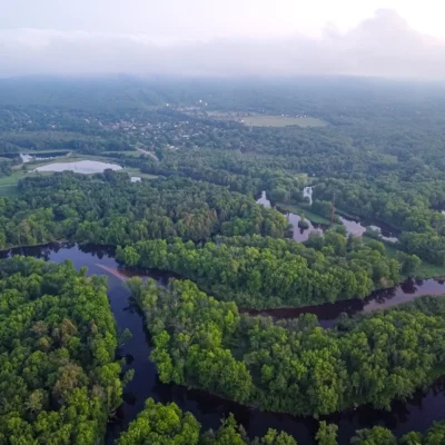
Dells of the Eau Claire County Park is a Marathon County park near Aniwa, Wisconsin, run by Wausau & Marathon County Parks, Recreation, and Forestry. It is not a state park. You may also find it as Eau Claire Dells or Dells of Eau Claire Park, the name Marathon County uses. Inside the park lies the Dells of the Eau Claire River State Natural Area, No. 109: 41 acres that the Wisconsin DNR designated a State Natural Area in 1973.
If you searched for state parks near Wisconsin Dells, this is a different place. The Dells of the Eau Claire are a rocky gorge on the Eau Claire River in Marathon County, and the park is not in Eau Claire County either.
Dells of the Eau Claire County Park at a glance
| Run by | Wausau & Marathon County Parks, Recreation, and Forestry, 715-261-1550 |
| Address | 235890 County Road Y, Aniwa, WI 54408 |
| State Natural Area | Dells of the Eau Claire River, No. 109, 41 acres, designated 1973, owned by Marathon County |
| Camping | Campground with 28 sites, 16 with electricity, plus a group campsite |
| Swimming | Swimming beach with sand bottom and changing room |
| Hunting | Prohibited in the county park |
| Entrance fee | The Wisconsin DNR lists none for this non-DNR-owned natural area and refers you to the county |
The gorge and its rock
The State Natural Area protects a narrow rocky gorge with waterfalls. Here the Eau Claire River cascades over Precambrian rhyolite schist, a very hard rock that was tilted to a nearly vertical position. Where the river crosses the rock’s cleavage planes, it tumbles and spills; where it flows parallel to them, it runs smoothly. Swirling sand and gravel have ground potholes into the rock, and downstream the river turns quiet. The DNR calls the dells an excellent place to observe fracture-controlled stream flow and multiple stream terraces.
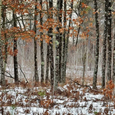
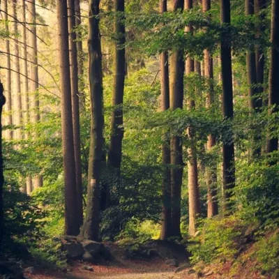
The gorge and the woods around it carry a northern mesic forest of hemlock, sugar maple, yellow birch and mountain maple. In the center of the natural area, a band of hemlock survived the cut-over, with trees between 181 and 249 years old. Canada yew grows in dense patches, and the DNR notes a rich spring flora.
Campground, beach and shelters
Marathon County lists these facilities. The campground is on the east side of County Road Y. It has 28 gravel sites, 16 of them with electricity, and self-registration for numbered sites. You also get a picnic table at each site, a water pump with potable water, a vault toilet, a wood shed, a dump station and a manager contact cottage. Marathon County Parks, Recreation, and Forestry takes reservations and registrations online.
The beach, also east of the road, has a sand bottom, a changing room, an open shelter, picnic tables, grills and vault toilets. Pets are not allowed on the beach or in the picnic areas. Marathon County publishes beach results through its beach monitoring program.
On the west side of County Road Y you find an enclosed shelter for up to 70 people with a kitchen area, electricity and two fireplaces, a group campsite, playground equipment, horseshoe pits, open play areas and two open shelters with grills.
Trails and directions
South of the river, on the west side of County Road Y, a parking lot and an open shelter give you access to the natural area, which the county calls the state scientific area. From there a hiking trail leads to the High Bridge, and another trail connects to the Ice Age Trail.
The DNR gives these directions: from the intersection of Highways 52 and Y in Hogarty, go west and south on County Highway Y about 3.3 miles to a parking area south of the river and west of the road. Hiking trails lead through the natural area.
Frequently asked questions
Is Dells of the Eau Claire a state park?
No. It is a Marathon County park. The Wisconsin DNR designated the gorge inside it a State Natural Area, but Marathon County owns the land and runs the park.
Is Dells of the Eau Claire near Wisconsin Dells?
No, they are different places. Dells of the Eau Claire County Park is on the Eau Claire River in Marathon County, near Aniwa and Hogarty.
Can you camp at Dells of the Eau Claire?
Yes. The county campground has 28 sites, 16 with electricity, plus a group campsite. Book or register through Marathon County.
Can you hunt in the park?
No. The Wisconsin DNR notes that hunting and trapping are prohibited in this county park.
Explore More Parks in Wisconsin
Discover more parks in our Best State Parks in Wisconsin guide, or use our Park Finder to search by activity, location, or features.
Why this page changed
Editor’s note: An earlier version of this page called Dells of the Eau Claire a public state park, used general Wisconsin state park text about admission stickers, DNR camping reservations and Devil’s Lake, described a gorge of “ancient granite” and placed the park in Eau Claire County. According to Marathon County and the Wisconsin DNR, it is a county park in Marathon County with a State Natural Area of rhyolite schist. We replaced the text in October 2026. The county page was read in an archived copy from May 27, 2026, because the live site blocked our request.
Make it a road trip: Pair a visit with Council Grounds State Park (within about an hour’s drive) or Rib Mountain State Park (within about an hour’s drive).

Park Map
Plan your gear for Dells of the Eau Claire County Park
From our editorial guides, matched to this park’s activities: