🌤 Weather at Gallitzin State Forest by season
| Spring | Summer | Fall | Winter |
|---|---|---|---|
| 28–68 °F | 57–79 °F | 33–70 °F | 19–38 °F |
Each range runs from the coldest monthly average low to the warmest monthly average high in that season (1991-2020 climate normals), measured at Johnstown Cambria Co Airport, 10 mi away, elevation 2,284 ft. Conditions at the park can differ from the station, especially where elevation differs — check a forecast before you go.

Gallitzin State Forest is located in Pennsylvania near Patton and is managed by the DCNR Bureau of Forestry, not by Pennsylvania’s state park system. Spanning 24,370 acres, the forest offers a peaceful retreat into nature for visitors of all ages. Its forest district dates to January 1916, when a fire warden headquarters opened in Johnstown; the Babcock and Rager Mountain tracts that make up most of today’s forest were bought in 1949–50 and from 1961.
Quick Facts
| State | Pennsylvania |
| Nearest City | Patton |
| Park Size | 24,370 acres |
| Established | 1916 (forest district) |
| Accessibility | Yes. See dcnr.pa.gov for specific accessibility details. |
Location & Getting There
Gallitzin State Forest is located near Patton, Pennsylvania. The park’s coordinates are 40.2084, -78.7080.
Things to Do
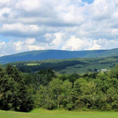
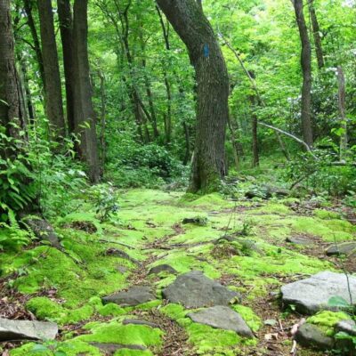
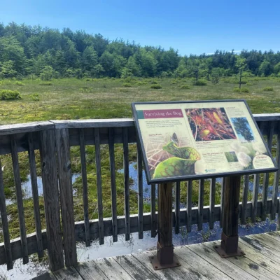
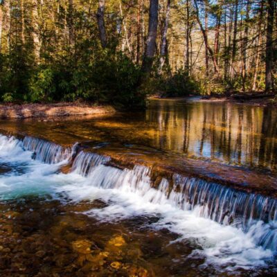
Gallitzin’s 24,370 acres of mixed hardwoods sit on the Allegheny Front and Laurel Ridge in Somerset, Bedford, Cambria and Indiana counties. The 18-mile John P. Saylor Trail is a double loop whose southern half runs through Clear Shade and passes the Wolf Rocks formation, the 26-mile Lost Turkey Trail starts at the Babcock Picnic Area in Somerset County, and the Bog and Boulder Trail crosses an upland bog that is a designated Wild Plant Sanctuary. Vistas on Rager Mountain, near the County Line Trail and off the Clark Run Trail look out over Indiana County, Blue Knob and the Conemaugh River Gap, and the Charles F. Lewis Natural Area protects Clark Run Gorge with its small waterfalls. You can fish for trout on Clear Shade Creek near Ogletown and on Laurel Run north of Johnstown, or for bass and panfish on the Conemaugh River, and mountain bikes and horses are allowed on most forest roads and trails.
Best Time to Visit
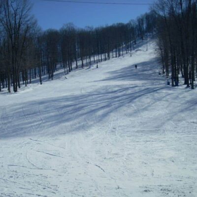
The DCNR lists no seasonal closing for Gallitzin. In winter the district maintains 18 miles of snowmobile trails in the Babcock area and nine miles in the Rager area, plus 7 miles of cross-country ski trails in three levels of difficulty in the Babcock area; skiing on the snowmobile trails is not advised. Deer, bear and turkey are hunted throughout the forest in season, so check the Pennsylvania Game Commission dates before an autumn hike. Backpackers may camp at undeveloped sites year-round but need a permit to stay more than one night in one place, and there are no developed or motorized campsites.
Visitor Tips
Gallitzin is a state forest of 24,370 acres managed by the DCNR Bureau of Forestry, not a state park. For camping rules and reservations, contact the Gallitzin Forest District office in Ebensburg (814-472-1862).
Explore More Pennsylvania State Parks
Looking for state parks in Pennsylvania? Discover them in our Best State Parks in Pennsylvania guide, or use our Park Finder to search by activity, location, or features.
Wildlife & Nature
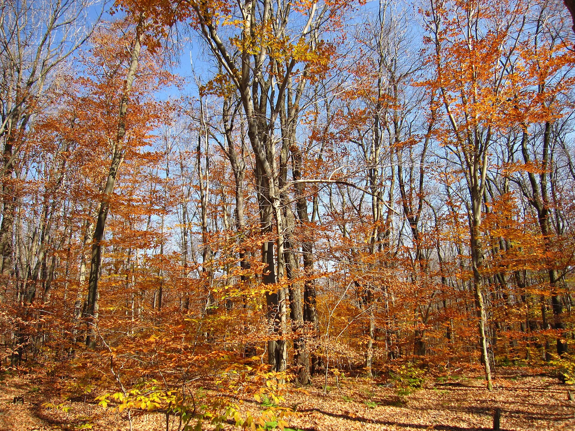
Gallitzin SF — 24,370 acres in the Allegheny Mountains. Except for the far southeast corner of the Babcock Division, the forest drains into the Conemaugh River and on to the Ohio. The forest’s mountain ridges, wetlands, and hardwood forest support black bears, white-tailed deer, and wild turkeys. Brook trout inhabit the mountain streams. The district manages habitat for ruffed grouse and American woodcock.
Nearby Attractions
Johnstown — about 14 miles northwest; the Johnstown Flood National Memorial near St. Michael is about 10 miles north-northwest. Ebensburg, home of the forest district office — about 19 miles north. The Allegheny Portage Railroad NHS near Cresson — about 19 miles north-northeast. Prince Gallitzin SP — about 33 miles north-northeast. All distances are straight-line.
Keep exploring: The closest neighbors are Blue Knob State Park (a short drive away) and Shawnee State Park (a short drive away).

Park Location
Plan your gear for Gallitzin State Forest
From our editorial guides, matched to this park’s activities: