
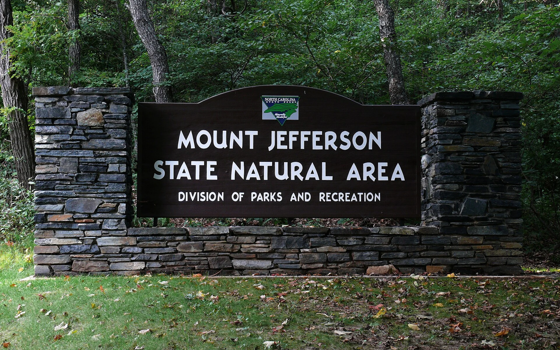
Photo: Ken Thomas, public domain, via Wikimedia Commons
🌤 Weather at Mount Jefferson State Natural Area by season
| Spring | Summer | Fall | Winter |
|---|---|---|---|
| 29–69 °F | 54–79 °F | 30–72 °F | 22–45 °F |
Each range runs from the coldest monthly average low to the warmest monthly average high in that season (1991-2020 climate normals), measured at Boone 1 SE, 16 mi away, elevation 3,100 ft. Conditions at the park can differ from the station, especially where elevation differs — check a forecast before you go.
The park itself ranges from about 2,750 to 4,620 ft in elevation — higher ground runs cooler than the figures above.

⛰️ National Natural Landmark — 4,683-Foot Blue Ridge Summit with 700+ Plant Species — A dramatic volcanic peak rising 1,600 feet above the New River Valley, with drive-up overlooks, summit trails, and extraordinary botanical diversity — Ashe County, North Carolina
Mount Jefferson State Natural Area protects one of the most botanically significant mountains in the southeastern United States. Designated a National Natural Landmark in 1974, this 4,683-foot peak rises dramatically more than 1,600 feet above the surrounding towns of Jefferson and West Jefferson in North Carolina’s Blue Ridge Mountains. The mountain’s combination of elevation, north-facing slopes, and ancient volcanic geology supports an extraordinary diversity of plant communities — over 700 species have been documented here, including rare northern species at the southern limit of their range.
Unlike many mountain parks that require hours of hiking to reach the summit, Mount Jefferson features a paved road to the summit area with three overlooks — Sunset, Sunrise, and Jefferson — making the panoramic views accessible to visitors of all abilities. From the top, the vistas extend across the New River Valley (one of the oldest rivers in North America) to the distant ridgelines of the Blue Ridge.
Trails
| Trail | Distance | Difficulty | Highlights |
|---|---|---|---|
| Summit Trail | 0.3 mi | Easy | Short walk to summit area from parking |
| Rhododendron Trail | 1.1 mi loop | Moderate | Through rhododendron/mountain laurel thickets, wildflowers |
| Lost Province Trail | 0.75 mi loop | Easy-Moderate | Forest diversity, geological features |
| Mountain Ridge Trail | 2 mi one-way | Moderate | Ascent to peak, multiple overlooks |
| Luther Rock Spur | ~0.2 mi | Easy | Prominent rock outcrop, panoramic views |
Three Summit Overlooks
| Overlook | Facing | Views |
|---|---|---|
| Sunset Overlook | West | New River Valley, setting sun behind ridgelines |
| Sunrise Overlook | East | Blue Ridge peaks, morning light |
| Jefferson Overlook | South | Town of Jefferson, surrounding farmland |
Best Time to Visit
| Season | Summit Temp | Best For |
|---|---|---|
| Spring (May–Jun) | 50–70°F | Rhododendron blooms (late May–Jun), wildflowers, 700+ species |
| Summer (Jul–Aug) | 65–80°F | Cool mountain escape, full canopy, hiking |
| Fall (Sep–Oct) | 45–65°F | Peak fall foliage, clearest views, photography |
| Winter (Nov–Mar) | 20–40°F | Summit road may close (ice/snow), check conditions |
💰 Trip Cost Estimator
| Expense | Cost | Notes |
|---|---|---|
| Entrance | FREE | No entrance fee |
| Parking | FREE | Summit parking area |
| Picnic Facilities | FREE | Tables at summit area |
| Typical Visit | $0 | 1–3 hours |
⚠️ Know Before You Go
| Item | Details |
|---|---|
| 🚗 Summit Road | May close in winter due to ice/snow — call ahead |
| 🌡️ Mountain Weather | Summit is 10–15°F cooler than valley — bring layers |
| ⛺ No Camping | Day-use only — no camping facilities |
| 🌿 Protected Plants | Do not pick or disturb — 700+ species, many rare |
Frequently Asked Questions
Can I drive to the summit?
Yes. A paved park road leads to the summit parking area with three overlooks and picnic facilities. No hiking required for the views.
Why is it a National Natural Landmark?
Mount Jefferson was designated in 1974 for its extraordinary botanical diversity — over 700 plant species including rare northern species at the southern edge of their range. The mountain’s volcanic geology and varied exposures create unique habitats.
Is there camping?
No. Mount Jefferson is day-use only. Camping is available at nearby New River State Park and Doughton Park on the Blue Ridge Parkway.
How high is the summit?
4,683 feet above sea level, rising more than 1,600 feet above the towns of Jefferson and West Jefferson in the valley below.
When do the rhododendrons bloom?
Peak bloom is typically late May through mid-June. The Rhododendron Trail is the best place to see them up close.
Is the summit road open year-round?
Not always. The road may close during winter weather (ice and snow). Call the park office to check conditions before visiting November through March.
How far from Boone, NC?
About 25 miles (35 minutes) northwest via US-221. An easy day trip from the Boone/Blowing Rock area.
Is Mount Jefferson volcanic?
Yes. The mountain is an ancient volcanic formation (amphibolite and meta-volcanic rock) that has resisted erosion while surrounding softer rock was worn away, leaving this dramatic peak rising from the valley.
Make it a road trip: Pair a visit with Bear Paw State Natural Area (a short drive away) or New River State Park (a short drive away).
⛰️ Drive to the Summit
700+ plant species, a National Natural Landmark designation, and panoramic Blue Ridge views — all accessible via a paved road to the 4,683-foot summit. Bring binoculars and a wildflower guide.
Wildlife & Nature
Mount Jefferson SNA — 539 acres — preserves a 4,683-foot peak that is a National Natural Landmark. The mountain’s old-growth forest, volcanic rock, and unique plant communities include species typically found hundreds of miles farther north. Black bears, wild turkeys, and rare plants inhabit the peak.
Nearby Attractions
Jefferson — adjacent. West Jefferson — 3 miles west — an arts community with murals. New River SP — 10 miles north.

🐾 Dogs & Pets at Mount Jefferson State Natural Area
- Pets allowed? statewide rule
- Pets are permitted in all North Carolina state parks as long as they are on an attended leash and under the constant control of the owner.
- Leash rule statewide rule
- Attended leash or other restraint no longer than 6 feet required at all times
- Beaches & swim areas statewide rule
- Pets are not permitted at swim areas or in bathhouses
- Cabins & lodging statewide rule
- Pets are strictly prohibited from entering any building, including cabins; no pet-friendly cabin program
- Statewide exceptions statewide rule
- Not all campgrounds allow pets (contact the park office first); pets must be confined to tent or vehicle during quiet hours (10 p.m.-7 a.m.); at Hammocks Beach visitors must arrange their own transportation for pets to Bear Island
Are dogs allowed at Mount Jefferson State Natural Area?
Pets are permitted in all North Carolina state parks as long as they are on an attended leash and under the constant control of the owner. Individual parks can post stricter rules — check signage on arrival.
Rules verified July 2026 via ncparks.gov. More: North Carolina state parks guide · Dog rules in all 50 states compared
Park Map
Plan your gear for Mount Jefferson State Natural Area
From our editorial guides, matched to this park’s activities:
Top Tours & Activities Near Boone
 from $120
 from $125
 from $23