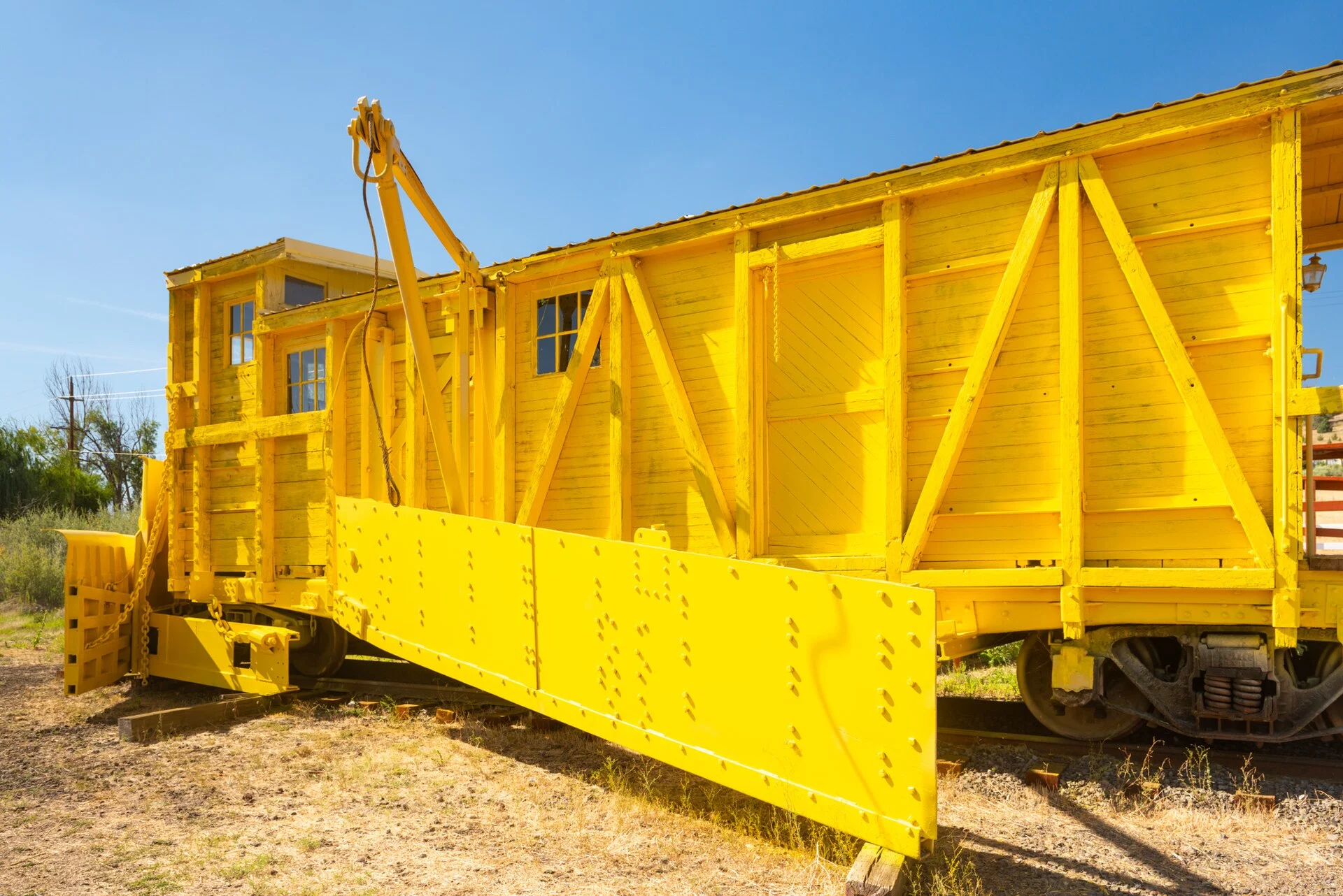
🏆🏆🏆🏆 Oregon’s Longest Rail Trail — 100-mile converted rail trail from Klamath Falls to Bly through Southern Oregon’s high desert
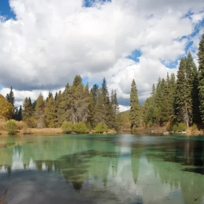
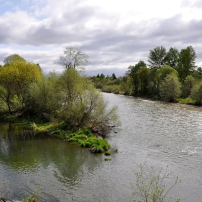
OC&E Woods Line State Trail is Oregon’s longest linear state park — a 100-mile converted rail trail running from Klamath Falls east to the timber town of Bly. The trail follows the former Oregon, California & Eastern Railway (OC&E) through ponderosa pine forests, cattle ranches, and the spectacular Sycan Marsh — one of Oregon’s largest wetlands. The trail passes through some of the most remote and least-visited landscapes in Oregon, with views of the Cascade peaks and high desert plateau.
Visitor Information
| Detail | Information |
|---|---|
| Location | Klamath Falls to Bly, OR |
| Length | 100 miles (Oregon’s longest trail!) |
| Entry Fee | Free |
| Uses | Biking, hiking, horseback riding |
| Feature | Sycan Marsh (massive wetland) |
Frequently Asked Questions
Can I bike the whole thing?
Yes — the rail trail is generally flat with gentle grades. Mountain or gravel bikes are recommended as the surface varies from paved to compacted gravel. Carry plenty of water — services are extremely limited along the remote eastern sections.
About OC&E Woods Line Trail
The OC&E Woods Line State Trail is Oregon’s longest linear state park at 100 miles — following the route of the former Oregon, California & Eastern Railway through the Klamath Basin. The rail-trail passes through high desert, pine forests, and along the spectacular Sycan Marsh, one of Oregon’s most important wetland habitats.
Things to Do
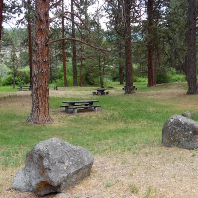
Hiking, mountain biking, and horseback riding on the 100-mile converted rail-trail. Birdwatching in the Klamath Basin — one of North America’s premier birding regions with massive waterfowl migrations. The trail passes through the town of Bly and offers remote backcountry experiences.
Nearby state parks: If you have extra time, Kimball State Park is a short drive away, and Chandler State Wayside is a short drive away.
🚴 Visit OC&E Woods Line State Trail
100-mile rail trail — Oregon’s longest through high desert and Sycan Marsh.
Wildlife & Nature
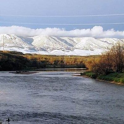
OC&E Woods Line ST — 100+ miles — Oregon’s longest linear state park. The trail follows the former Oregon, California & Eastern Railway through Klamath Basin, ponderosa pine forest, and high desert. Bald eagles, pronghorn, and mule deer inhabit the corridor.
Nearby Attractions
Klamath Falls — trailhead. Upper Klamath Lake — nearby — the largest lake in Oregon. Crater Lake NP — 50 miles north.

Park Location

Top Tours & Activities Near Ashland
 from $50
 from $149
 from $110