🏆🏆🏆 Rogue River Cascades — Viewpoint above the upper Rogue River near Crater Lake
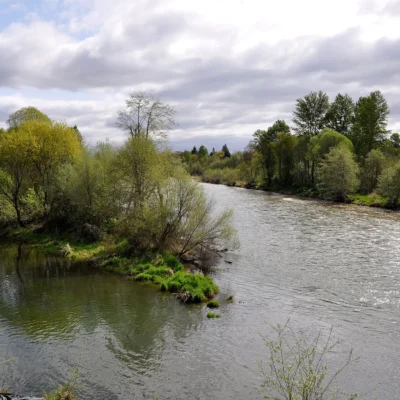
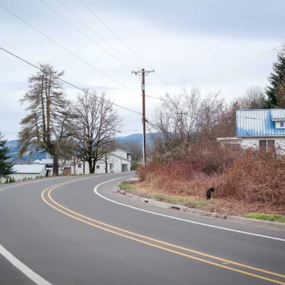
Prospect State Scenic Viewpoint provides views of the upper Rogue River as it cascades through a volcanic gorge near the town of Prospect — the gateway to Crater Lake. The river here flows through a series of natural lava tubes, disappearing underground briefly before reemerging in dramatic fashion. The area’s unique geology reflects the volcanic activity that created Crater Lake when Mt. Mazama collapsed 7,700 years ago.
Visitor Information
| Detail | Information |
|---|---|
| Location | Prospect, Jackson County, OR |
| Entry Fee | Free |
| River | Upper Rogue (through lava tubes!) |
| Nearby | Crater Lake National Park |
Frequently Asked Questions
How far is Crater Lake?
Crater Lake is approximately 30 miles northeast. Prospect is a popular base camp for Crater Lake visits, with the historic Prospect Hotel and several campgrounds.
What is the Natural Bridge on the Rogue River?
The Rogue River flows into a collapsed lava tube and travels underground for 200 feet before emerging downstream. At low water, the entire river disappears into the rock — at high water, it partially flows over the top. This geological oddity is free to visit and just minutes from Prospect.
About Prospect Viewpoint
Prospect State Scenic Viewpoint is located in the upper Rogue River canyon near the town of Prospect — the last supply stop before Crater Lake. The viewpoint overlooks the Rogue River gorge where the river plunges through a narrow basalt chasm in a series of dramatic cascades.
Things to Do
Viewing the Rogue River gorge and natural bridge (where the river disappears underground through lava tubes). The nearby Rogue Gorge viewpoint and Natural Bridge viewpoint are must-see stops. Excellent base camp for Crater Lake day trips.
Insider Tips
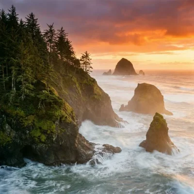
Rogue River gateway: Prospect is the gateway to the Upper Rogue River — a designated Wild & Scenic River with spectacular waterfalls. Pro tip: The Natural Bridge viewpoint (nearby) is where the Rogue River disappears into a lava tube and reappears downstream — one of Oregon’s most unusual geological features. Crater Lake: Crater Lake National Park is 30 minutes east.
Best Time to Visit
Summer: Crater Lake access (road opens late June). Fall: Salmon runs on the Rogue. Spring: Waterfalls at peak flow. Winter: Snowshoeing near Crater Lake.
Wildlife & Nature
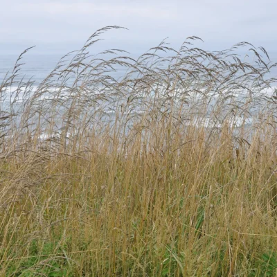
Prospect State Scenic Viewpoint offers a stopping point in the southern Cascades along the route to Crater Lake — one of Oregon’s most scenic drives. The Upper Rogue River corridor near Prospect features dramatic volcanic geology — the river plunges through Natural Bridge, where it disappears into a lava tube and resurfaces 200 feet downstream. The surrounding old-growth forest supports northern spotted owls, Pacific martens, and American black bears. Roosevelt elk inhabit the meadows. The Upper Rogue’s cold, clean water supports wild salmon and steelhead populations. Harlequin ducks — brilliantly colored diving ducks that breed on fast-flowing mountain streams — are found on the upper Rogue. Their preference for Class III-IV whitewater makes them some of the most adventurous ducks in North America.
Nearby Attractions
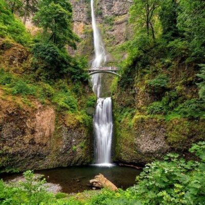
Crater Lake National Park is 30 miles east. Natural Bridge on the Rogue River — where the river vanishes into a lava tube — is one of Oregon’s most unusual geological features. Mill Creek Falls (173 feet) in Prospect is the highest waterfall in southern Oregon. Rogue River Gorge at Union Creek features dramatic narrows. Union Creek Resort has served travelers since 1922. Sky Lakes Wilderness offers backcountry alpine hiking. Fish Lake Resort provides mountain recreation.
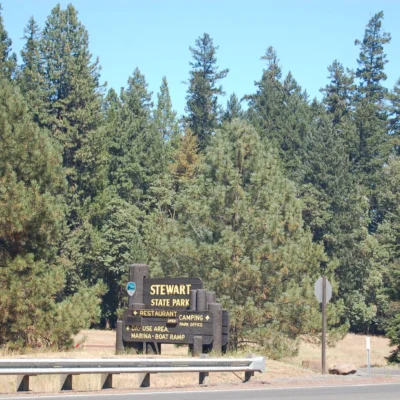
Keep exploring: The closest neighbors are Joseph H. Stewart State Recreation Area (a short drive away) and Jackson Kimball State Park (within about an hour’s drive).
Camping reservations: Book campsites and cabins for Oregon state parks online at oregonstateparks.reserveamerica.com.
🌋 Visit Prospect SSVP
Upper Rogue lava tubes — river disappears underground near Crater Lake.