🌤 Weather at Wallowa Lake Highway Forest State Scenic Corridor by season
| Spring | Summer | Fall | Winter |
|---|---|---|---|
| 27–69 °F | 43–88 °F | 25–79 °F | 19–43 °F |
Each range runs from the coldest monthly average low to the warmest monthly average high in that season (1991-2020 climate normals), measured at Wallowa, 8 mi away, elevation 2,923 ft. Conditions at the park can differ from the station, especially where elevation differs — check a forecast before you go.

🏆 Forested stretch of OR 82 in the lower Wallowa River canyon between Minam and the town of Wallowa, on the long drive toward Wallowa Lake and the Eagle Cap Wilderness.
Visitor Information
| Detail | Information |
|---|---|
| Location | Wallowa County, Oregon |
| Entry Fee | Free (no day-use parking permit required) |
About Wallowa Lake Highway Forest
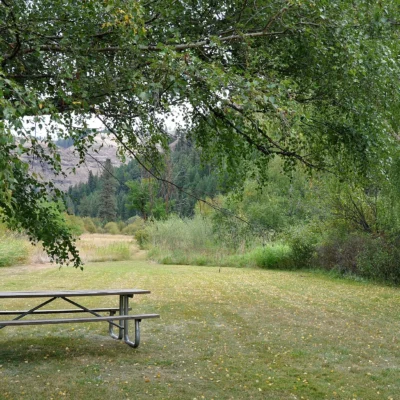
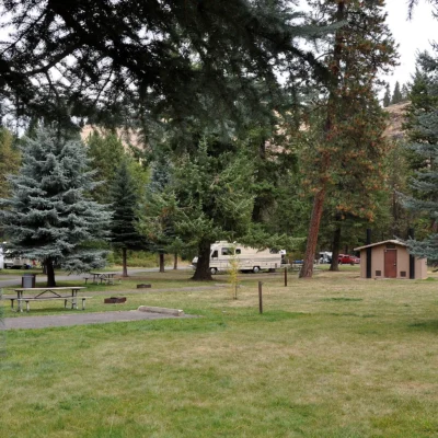
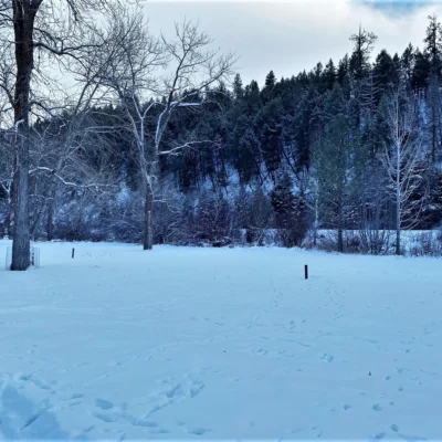
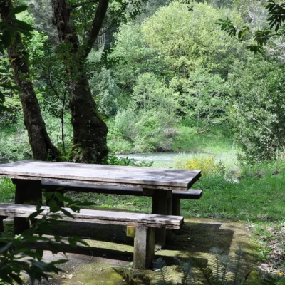
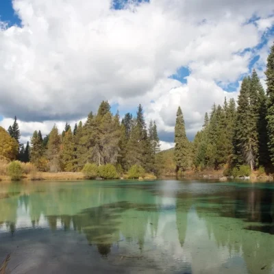
Wallowa Lake Highway Forest State Scenic Corridor protects forest along OR 82 in the lower Wallowa River canyon, between Minam and the town of Wallowa in Wallowa County. Here the highway follows the river through a narrow, wooded canyon. Wallowa Lake itself is not visible from the corridor: it lies farther east, past Wallowa, Enterprise and Joseph, at the foot of the Wallowa Mountains.
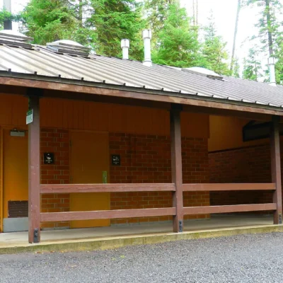
The corridor is the canyon section of the main road into the Wallowa Valley, the region often called the “Switzerland of Oregon.” It includes the Wallowa River Rest Area on the same stretch of OR 82.
Things to Do
The corridor is primarily a scenic drive experience, but pullouts offer views of the Wallowa River and surrounding peaks. It connects travelers to Wallowa Lake State Park — one of Oregon’s most popular destinations for camping, swimming, and the Wallowa Lake Tramway (a gondola ride to the 8,150-foot summit of Mount Howard). The nearby Eagle Cap Wilderness offers over 500 miles of hiking trails.
Driving the forested canyon section of OR 82, stopping at pullouts above the Wallowa River, photography, and continuing east to the Wallowa Lake area — one of Oregon’s most spectacular destinations.
Getting There
Located on OR 82 in the lower Wallowa River canyon between Minam and the town of Wallowa, Wallowa County. Free scenic drive.
Insider Tips
Swiss-style scenery: The Wallowa Lake area is called the “Switzerland of Oregon” — alpine lakes, glacial peaks, and wildflower meadows rival anything in the Alps. Pro tip: The Wallowa Lake Tramway lifts you 3,700 vertical feet to the summit of Mount Howard — panoramic views of the Eagle Cap Wilderness, Hells Canyon, and Idaho. Bronze art: Joseph, the town at the north end of Wallowa Lake, has a world-class bronze foundry and outdoor sculpture gallery.
Best Time to Visit
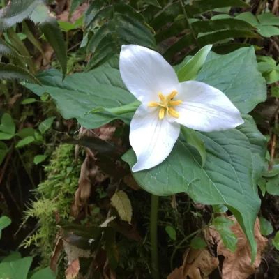
Summer: Tramway open, hiking at its best. Fall: Golden larch (October) — a conifer that turns gold and drops its needles. Winter: Quiet beauty and cross-country skiing. Spring: Wildflower meadows emerge from snowmelt.
Frequently Asked Questions
How do I get to Wallowa Lake?
6 hours from Portland via I-84 and Highway 82. The remoteness is what preserves its beauty. Joseph and Enterprise are small towns with excellent dining and art. The Wallowa Mountains contain the largest wilderness area in Oregon (Eagle Cap, 360,000 acres).
Wildlife & Nature
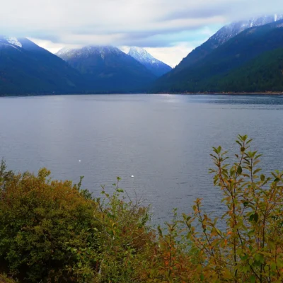
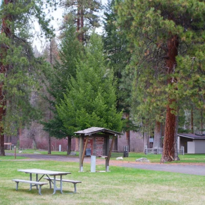
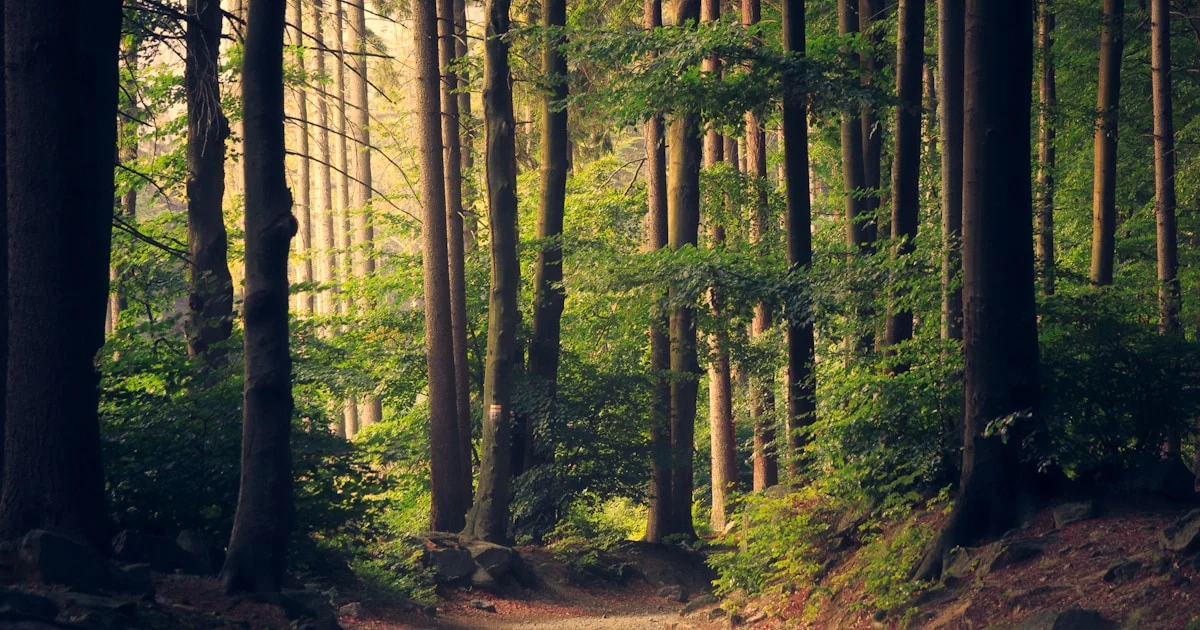
Wallowa Lake Highway Forest State Scenic Corridor preserves forest in the Wallowa River canyon on the road toward Wallowa Lake — a glacier-carved lake in northeastern Oregon’s Wallowa Mountains. The Wallowas — dubbed “Oregon’s Little Switzerland” — are among the most dramatic mountain landscapes in the Pacific Northwest, with granite peaks exceeding 9,800 feet. The corridor’s ponderosa pine and mixed conifer forest supports Rocky Mountain elk, mule deer, and black bears. The Wallowa region supports a reintroduced population of bighorn sheep — animals that once ranged widely across Oregon’s mountains before disease and hunting eliminated them. Wallowa Lake itself harbors landlocked kokanee (sockeye salmon) and bull trout. The region’s isolation supports dark skies exceptional for stargazing.
Nearby Attractions
Wallowa Lake State Park offers camping at the foot of glacier-carved moraines. Wallowa Lake Tramway — a gondola to 8,150 feet — provides Eagle Cap Wilderness views. Eagle Cap Wilderness — Oregon’s largest wilderness (360,000 acres) — offers alpine lakes and granite peaks. Joseph — an arts town — has bronze foundries and galleries. Chief Joseph Days Rodeo is one of Oregon’s premier rodeos. Nez Perce National Historic Trail follows Chief Joseph’s 1877 retreat. Hells Canyon — North America’s deepest gorge — is nearby.
Keep exploring: Wallowa Lake Highway Forest State Scenic Corridor includes Wallowa River Rest Area. The closest other parks are Minam State Recreation Area (a short drive away) and Iwetemlaykin State Heritage Site (within about an hour’s drive).

🐾 Dogs & Pets at Wallowa Lake Highway Forest State Scenic Corridor
- Pets allowed? statewide rule
- Pets are welcome in Oregon state parks and on most ocean beaches but must be leashed except in designated off-leash areas.
- Leash rule statewide rule
- Leash no longer than 6 feet required in developed park areas
- Beaches & swim areas statewide rule
- Pets are allowed on most ocean beaches under direct control; western snowy plover nesting areas restrict pets March 15 - Sept. 15; leash required on the beach at some parks (e.g. Cape Lookout)
- Cabins & lodging statewide rule
- Designated pet-friendly yurts and cabins at many parks (South Beach has 14 pet-friendly yurts, Tugman 8); maximum two dogs and/or cats; $10 per night pet fee
- Pet fees statewide rule
- $10 per night for pet-friendly yurts/cabins; no pet fee for day use or campsites
- Statewide exceptions statewide rule
- Pets prohibited at Dabney SRA, the Trail of Ten Falls at Silver Falls, and Shore Acres; off-leash areas at Stub Stewart, Willamette Mission, Elijah Bristow, Cottonwood Canyon and LaPine
Are dogs allowed at Wallowa Lake Highway Forest State Scenic Corridor?
Pets are welcome in Oregon state parks and on most ocean beaches but must be leashed except in designated off-leash areas. Individual parks can post stricter rules — check signage on arrival.
Rules verified July 2026 via stateparks.oregon.gov. More: Oregon state parks guide · Dog rules in all 50 states compared
Park Map
Plan your gear for Wallowa Lake Highway Forest State Scenic Corridor
From our editorial guides, matched to this park’s activities: