🏆🏆🏆🏆🏆 Katahdin’s Wild East Side — 34,000-acre wilderness on the wild eastern side of Katahdin — remote approach to Maine’s highest peak
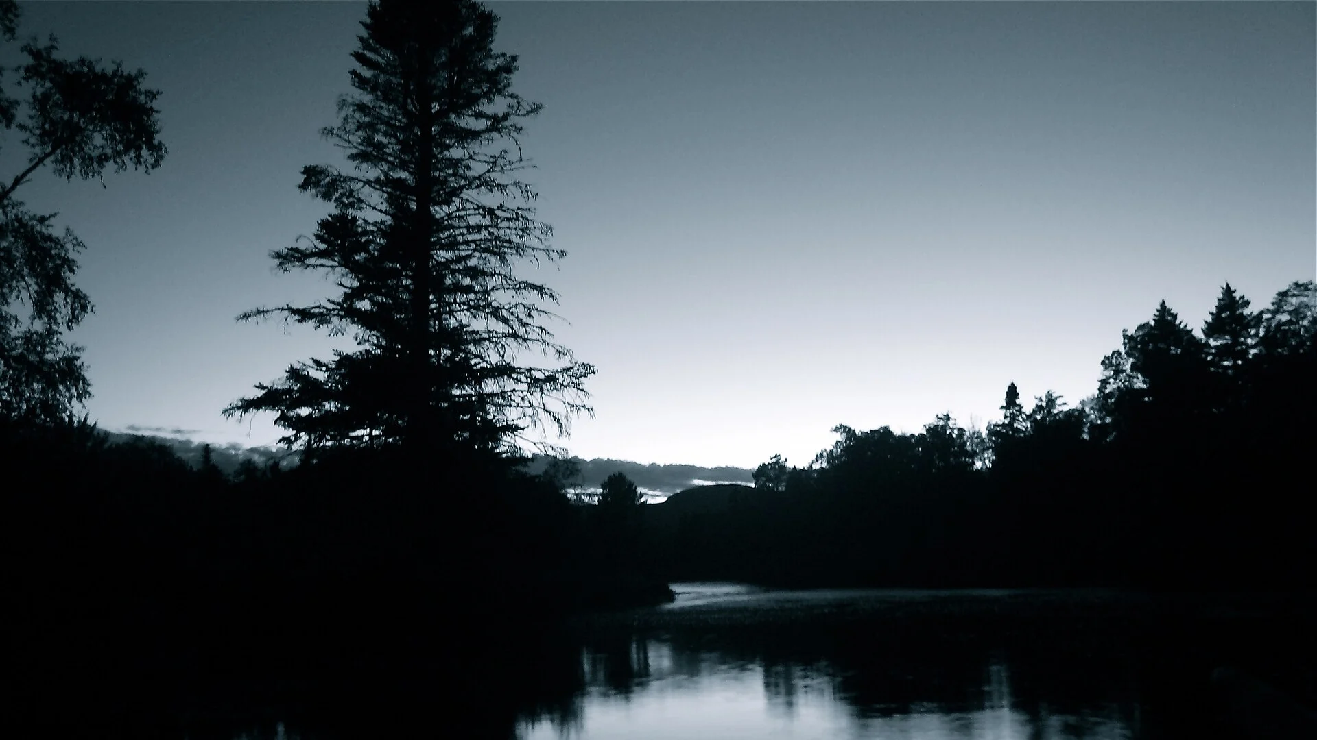
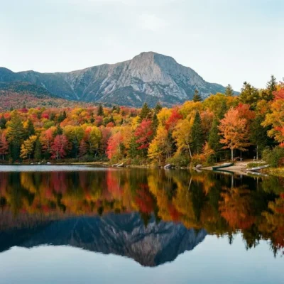
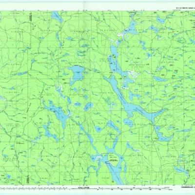
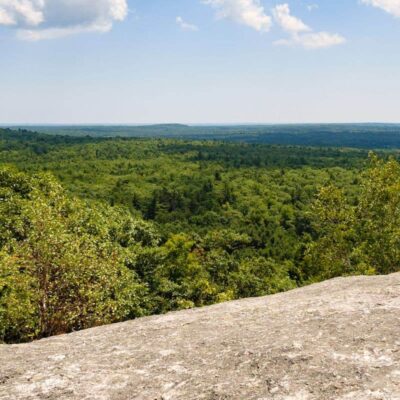
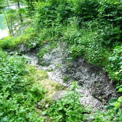
Wassataquoik Public Reserved Land covers 34,000 acres on the wild eastern side of Mount Katahdin — Maine’s highest peak (5,267 ft) and the northern terminus of the Appalachian Trail. While most visitors approach Katahdin from the west through Baxter State Park, Wassataquoik offers a remote eastern approach through pristine wilderness. The name comes from the Penobscot word meaning “river shining in the light.” This is one of the most remote and least-visited mountain landscapes in the eastern United States.
Visitor Information
| Detail | Information |
|---|---|
| Location | East of Katahdin, Penobscot, ME |
| Size | 34,000 acres! |
| Entry Fee | Free |
| Peak | Katahdin 5,267 ft — AT terminus! |
| Name | “River shining in the light” (Penobscot) |
Frequently Asked Questions
Can I climb Katahdin from here?
Access to Katahdin’s summit from the east side requires serious backcountry experience and is significantly more remote than the Baxter State Park approach. Multi-day trips are typical. Check with Maine BPL for current trail conditions.
About Wassataquoik
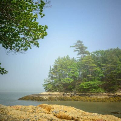
Wassataquoik public reserved land protects wild forest and river corridor adjacent to Baxter State Park — home of Mount Katahdin, the northern terminus of the Appalachian Trail. The Wassataquoik Stream flows through a remote valley beneath Katahdin’s eastern slopes. The unit expands the protected wilderness surrounding Maine’s highest and most iconic mountain.
Things to Do
Hiking in the shadow of Mount Katahdin, fishing for brook trout in Wassataquoik Stream, primitive camping, moose watching, and accessing Baxter State Park’s eastern trails. The area offers a wilder, less-visited alternative to Baxter’s main entrance.
Nearby state parks: If you have extra time, Baxter State Park is a short drive away, and Seboeis Unit is a short drive away.
⛰️ Visit Wassataquoik
34,000 acres — Katahdin’s wild east side, “river shining in the light.”
Wildlife & Nature
Wassataquoik — a remote wilderness area east of Baxter State Park. The area’s boreal forest, streams, and mountain terrain support moose, black bears, Canada lynx, and brook trout. The Wassataquoik Stream is renowned as one of the finest wild brook trout streams in Maine.
Nearby Attractions
Baxter SP / Mount Katahdin — adjacent — northern terminus of the Appalachian Trail. Millinocket — 30 miles southeast.

Park Location

Top Tours & Activities Near Maine
 from $851
 from $75
 from $95