
Telos
🏆🏆🏆🏆🏆 Telos Cut Gateway — Remote wilderness lake on the Allagash — site of the 1841 Telos Cut that changed Maine’s water geography
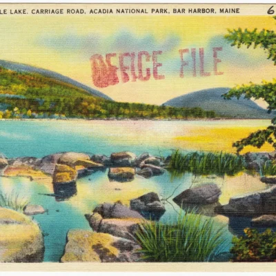
Telos Public Reserved Land protects shoreline on Telos Lake — site of the extraordinary Telos Cut (1841), an engineering feat that literally changed Maine’s water geography. Loggers blasted a canal through a ridge to divert water from the Allagash (flowing north to Canada) into the East Branch Penobscot (flowing south to Bangor). This allowed Bangor lumber barons to float logs south instead of losing them to Canadian mills. The Telos Cut is one of the most remarkable feats of 19th-century engineering in America — carving a new watershed divide by hand and black powder.
Visitor Information
| Detail | Information |
|---|---|
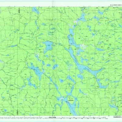
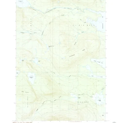
| Location | T6 R11 WELS, Piscataquis, ME |
| Entry Fee | Free (logging road access) |
| Engineering | 1841 — changed Maine’s water geography! |
| Canal | Diverted Allagash→Penobscot! |
Frequently Asked Questions
How did they change a watershed?
In 1841, loggers blasted a canal through the ridge separating Telos Lake (Allagash drainage, flowing to Canada) from Webster Lake (Penobscot drainage, flowing to Bangor). The Telos Cut allowed Bangor lumber barons to capture logs that would otherwise float to Canadian mills — redirecting an entire river system’s commerce.
About Telos
Telos public reserved land encompasses remote lakes in the headwaters of the Allagash Wilderness Waterway — the northern end of one of North America’s greatest canoe routes. Telos Lake and the surrounding waterways were central to Maine’s logging history — in the 1840s, a man-made dam at Telos Cut diverted the Allagash’s waters to the Penobscot watershed, triggering a legendary “Lumberman’s War.”
Things to Do
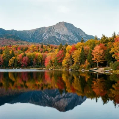
Canoeing the Allagash Waterway (starting point for the full 92-mile trip), fishing for brook trout and lake trout, remote camping, moose watching, and exploring the logging history that shaped Maine’s North Woods.
More parks nearby: Gero Island is a short drive away, while Chamberlain Lake lies a short drive away.
Wildlife & Nature
Telos — on Telos Lake in the North Maine Woods. The area’s boreal forest, lake, and streams support moose, loons, bald eagles, and brook trout. The Telos Cut (1841) — an artificial channel — diverted water from the Allagash to the Penobscot watershed, causing a famous water rights dispute.
Nearby Attractions
Allagash Wilderness Waterway — accessible. Baxter SP — 20 miles east. North Maine Woods — surrounding.

Park Location
Top Tours & Activities Near Maine
 from $851
 from $75
 from $95