
Seboeis Unit
🏆🏆🏆🏆 East Branch Wilderness — 9,600-acre wilderness unit along the East Branch of the Penobscot — Thoreau’s canoe route
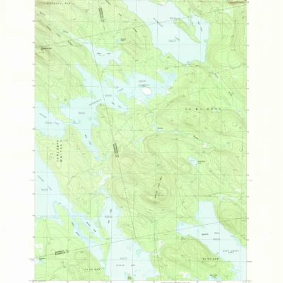
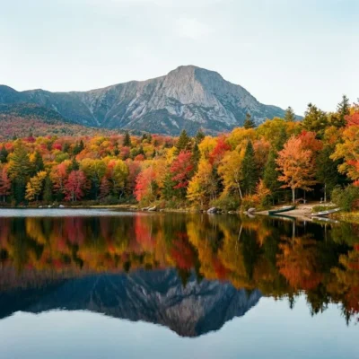
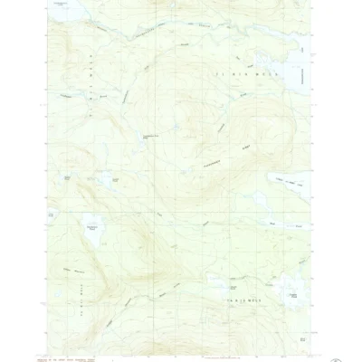
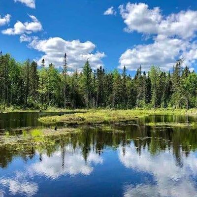
Seboeis Public Reserved Land covers 9,600 acres along the East Branch of the Penobscot River — the same route Henry David Thoreau paddled in 1846 and 1857. The East Branch was a critical logging highway in the 19th century, floating millions of board feet of timber to Bangor sawmills. Today the river offers wilderness canoeing through dense spruce-fir forest with frequent moose sightings. The Seboeis unit provides critical wildlife corridor connecting Baxter State Park to the broader North Woods landscape.
Visitor Information
| Detail | Information |
|---|---|
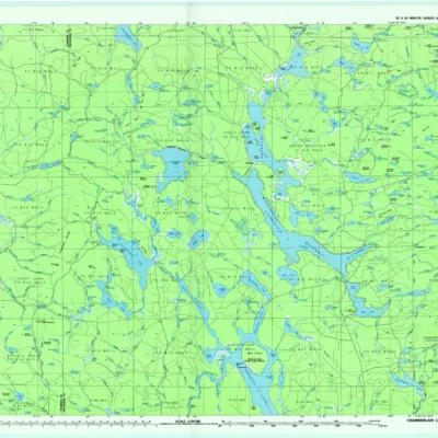
| Location | Penobscot County, ME |
| Size | 9,600 acres! |
| Entry Fee | Free |
| Literature | Thoreau paddled here (1846, 1857)! |
About Seboeis
Seboeis public reserved land in southern Penobscot County covers mixed forest and wetlands along the Seboeis River — a tributary of the East Branch Penobscot. The unit provides accessible recreation in the transition zone between Maine’s settled south and the wild North Woods.
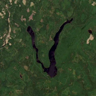
Seboeis Unit in Penobscot County is a 14,000-acre state public reserved land providing backcountry recreation in the East Branch of the Penobscot River watershed. The area sits between Katahdin Iron Works (site of a 19th-century charcoal iron smelter) and the Appalachian Trail. Grand Falls on the East Branch — a 40-foot cascade — is one of the most impressive remote waterfalls in New England, accessible only by multi-mile hike.
Things to Do
Hunting (deer, moose, bear, turkey), fishing in the Seboeis River for brook trout, canoeing, hiking, snowmobiling in winter, and birdwatching. More accessible than the remoter North Woods units.
Hiking to Grand Falls (40-foot remote cascade), fishing, primitive camping, canoeing the East Branch, wildlife watching, and exploring 14,000 acres of Maine backcountry.
Insider Tips
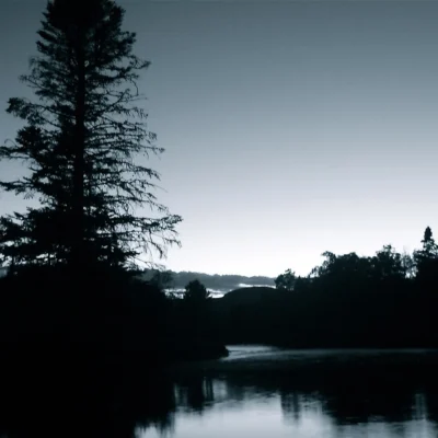
North Maine Woods: The Seboeis Unit offers remote backcountry access in the heart of Maine’s North Woods. Pro tip: This is moose country — dawn and dusk visits to ponds and wetlands offer excellent viewing. Wilderness solitude: You may not see another person all day.
Best Time to Visit
Fall: Peak foliage and moose rutting season. Summer: Fishing and canoeing. Winter: Snowmobiling. Spring: Black fly season — prepare accordingly.
Frequently Asked Questions
Will I see moose in northern Maine?
Maine has the largest moose population in the lower 48 states — an estimated 60,000-70,000 animals. Northern Maine offers the best viewing opportunities, especially at dawn and dusk near ponds, wetlands, and logging roads. September-October during the rut is peak season.
Keep exploring: The closest neighbors are Scraggly Lake (a short drive away) and Wassataquoik (a short drive away).

Park Location
Top Tours & Activities Near Maine
 from $851
 from $75
 from $95