Laurel–Snow State Natural Area
🏆 Tennessee’s Cumberland Plateau Waterfalls — Two Stunning Falls in a Wild Gorge — Updated for 2026 with trail conditions, waterfall info, camping permits, and seasonal tips
The trail begins on an old railroad bed — flat, wide, and easy — but the forest closes in, the creek grows louder, and soon you’re descending into a gorge so deep and green it feels like stepping into another century. At the bottom: Laurel Falls, an 80-foot cascade plunging into a pool of mist and stone, and farther on, Snow Falls, a 35-foot ribbon of water sliding down a rock face like a curtain. This is Laurel-Snow State Natural Area, 2,259 acres of Cumberland Plateau wilderness near Dayton, Tennessee — Tennessee’s first National Recreation Trail and a hidden gem of Appalachian hiking.
Cut into Walden Ridge by a network of creeks, the Laurel-Snow gorge harbors old-growth forest, abandoned coal mine entrances from the 19th century, and overlooks that open suddenly to sweeping views of the Tennessee Valley. The trail system offers 10-15 miles of hiking, from easy railroad-grade walking to challenging gorge descents, with two waterfalls and two spectacular overlooks as the rewards.
What Makes Laurel-Snow Special
80-Foot Laurel Falls
Dramatic 80-foot cascade — the centerpiece of the natural area and one of Tennessee’s most impressive waterfalls.
35-Foot Snow Falls
A graceful 35-foot curtain waterfall farther into the gorge — quieter and more remote.
Gorge Overlooks
Buzzard Point and Bryan Overlook offer sweeping views through the gorge across the Tennessee Valley.
Coal Mining History
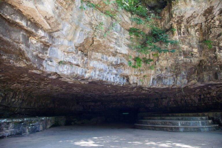
Old mine entrances along the trail — remnants of 19th-century coal mining on the Cumberland Plateau.
Trails & Waterfalls
| Destination | Distance (RT) | Difficulty | Highlights |
|---|---|---|---|
| 💧 Laurel Falls | 4.8 mi RT | Moderate | 80-foot waterfall. Fork right at 1.7 mi. Some steep descent |
| 💧 Snow Falls | 8 mi RT | Moderate-Hard | 35-foot waterfall. Fork left at 1.5 mi. Longer but rewarding |
| 🏔️ Buzzard Point | ~5 mi RT | Moderate | Gorge overlook. Tennessee Valley views. Left at fork |
| 🏔️ Bryan Overlook | ~6 mi RT | Moderate-Hard | Raven Point views. Right at fork past Laurel Falls |
| 🔄 Full Loop | ~12 mi | Strenuous | Both waterfalls + overlooks. Full day hike |
📢 Trail Tips
• First 1.5 miles: Easy, flat old railroad bed along Richland Creek — great warmup • Trail Fork: Left → Buzzard Point & Snow Falls. Right → Laurel Falls & Bryan Overlook • Hours: 8 AM – 7 PM. Cars locked in after sunset • Best after rain: Waterfalls are most impressive with recent rainfall • Coal mines: Old mine entrances are visible along the trail — do not enter
When to Visit: Seasonal Guide
| Season | Months | Weather | Best For |
|---|---|---|---|
| 🍂 Fall | Oct–Nov | 50-65°F | 🏆 Fall foliage in the gorge. Cooler hiking temps. Waterfalls flowing |
| 🌸 Spring | Mar–May | 55-70°F | 🏆 Wildflowers, strongest waterfall flow. Green forest canopy |
| ☀️ Summer | Jun–Aug | 80-90°F | Hot and humid. Start early morning. Waterfalls may be reduced |
| ❄️ Winter | Dec–Feb | 30-50°F | Bare trees = best overlook views. Possible ice on falls. Trail can be slippery |
Overnight Camping
Backcountry camping is available by permit only through the Friends of the Cumberland Trail website. Designated sites include Henderson Creek, Laurel Creek, and Morgan Creek campsites. This is primitive camping — carry all gear and pack out all trash.
Budget Calculator
| Expense | Day Hike | Backpacking | Notes |
|---|---|---|---|
| Entry | FREE | FREE | No entrance fee |
| Camping Permit | — | FREE | Permit required through cumberlandtrail.org |
| Parking | FREE | FREE | Gravel lot at trailhead. Arrive early on weekends |
| Total | FREE | FREE | Free admission and free camping — outstanding value |
Frequently Asked Questions
Which waterfall is better?
Laurel Falls is the showstopper — 80 feet of dramatic cascade. Snow Falls is more intimate at 35 feet. If you can only do one, do Laurel Falls.
How hard are the trails?
The first 1.5 miles on the railroad bed are easy. After the fork, trails become more rugged with elevation changes. The Laurel Falls trail has some steep sections. Wear good hiking shoes.
When are the waterfalls best?
After rain — especially in spring when snowmelt and rain feed the creeks. Dry summers can reduce flow significantly.
Is this part of the Cumberland Trail?
Yes — Laurel-Snow is part of the Cumberland Trail State Scenic Trail, Tennessee’s first National Recreation Trail.
Can I swim at the waterfalls?
Swimming is not recommended — the pools are shallow and rocks can be slippery. The falls are best observed from a safe distance.
How do I get there?
North of Dayton, TN via Highway 27/29. Turn onto Walnut Grove Rd, then Back Valley Rd, then a gravel road to the trailhead parking.
💧 Where Water Carved a Cathedral in Stone
The Cumberland Plateau doesn’t give up its secrets easily — you have to walk the old railroad grade, cross the creek, and descend into the gorge before Laurel-Snow reveals itself. But when it does — when that 80-foot waterfall appears through the trees, when the overlook opens to the Tennessee Valley below, when you spot the dark mouth of a 19th-century coal mine beside the trail — you’ll understand why this was the first place in Tennessee to earn National Recreation Trail status. It’s free, it’s wild, and it’s one of the most beautiful hikes in the Southeast. All you have to bring is your legs.
📍 Location: North of Dayton, TN (Rhea County)
📞 Phone: (423) 881-5298