Crow Butte Park
🏝️ A Desert Island in the Columbia River — Swimming, Camping, and Nothing Else for Miles — Crow Butte Park on the Columbia River in Benton County, Washington, island-like peninsula on Lake Umatilla (McNary Pool), sandy swimming beach, camping, boating, fishing, hiking, desert landscape, 360-degree river and canyon views — Benton County, WA
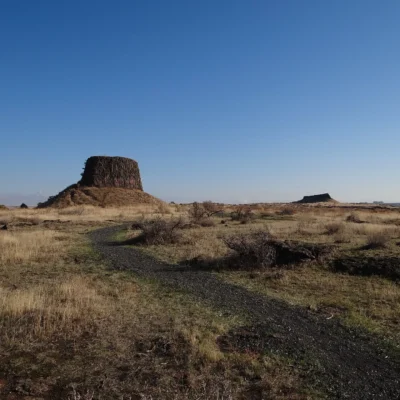
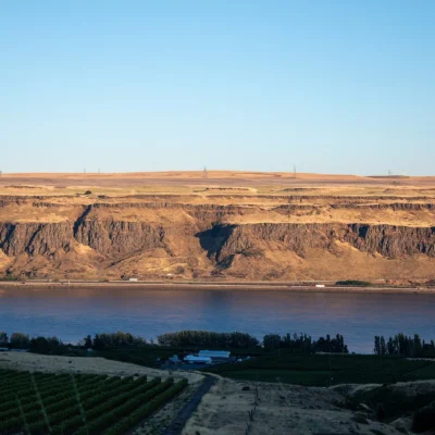
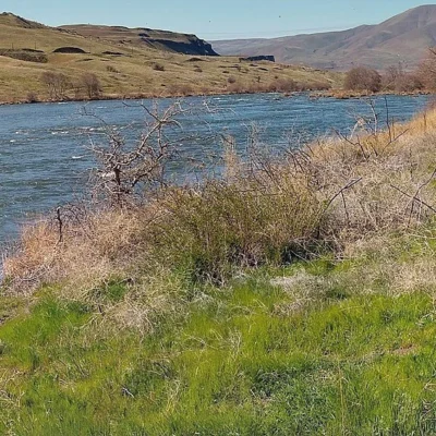
The Columbia River is a mile wide here. Crow Butte rises 671 feet above the water — a basalt butte on a peninsula that juts into Lake Umatilla like an island. The surrounding landscape is desert: sagebrush, bunch grass, rattlesnakes, and sky. The nearest town is 15 miles away. The nearest traffic light is farther than that.
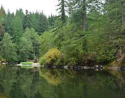
This is the Columbia River at its most remote and surprising. A sandy beach on a warm-water reservoir in the middle of the high desert. Camping on a bluff with 360-degree views of the river, the canyon walls, and the basalt cliffs. Fishing for walleye and smallmouth bass in water that reflects nothing but sky.
What to Do
| Activity | Details |
|---|---|
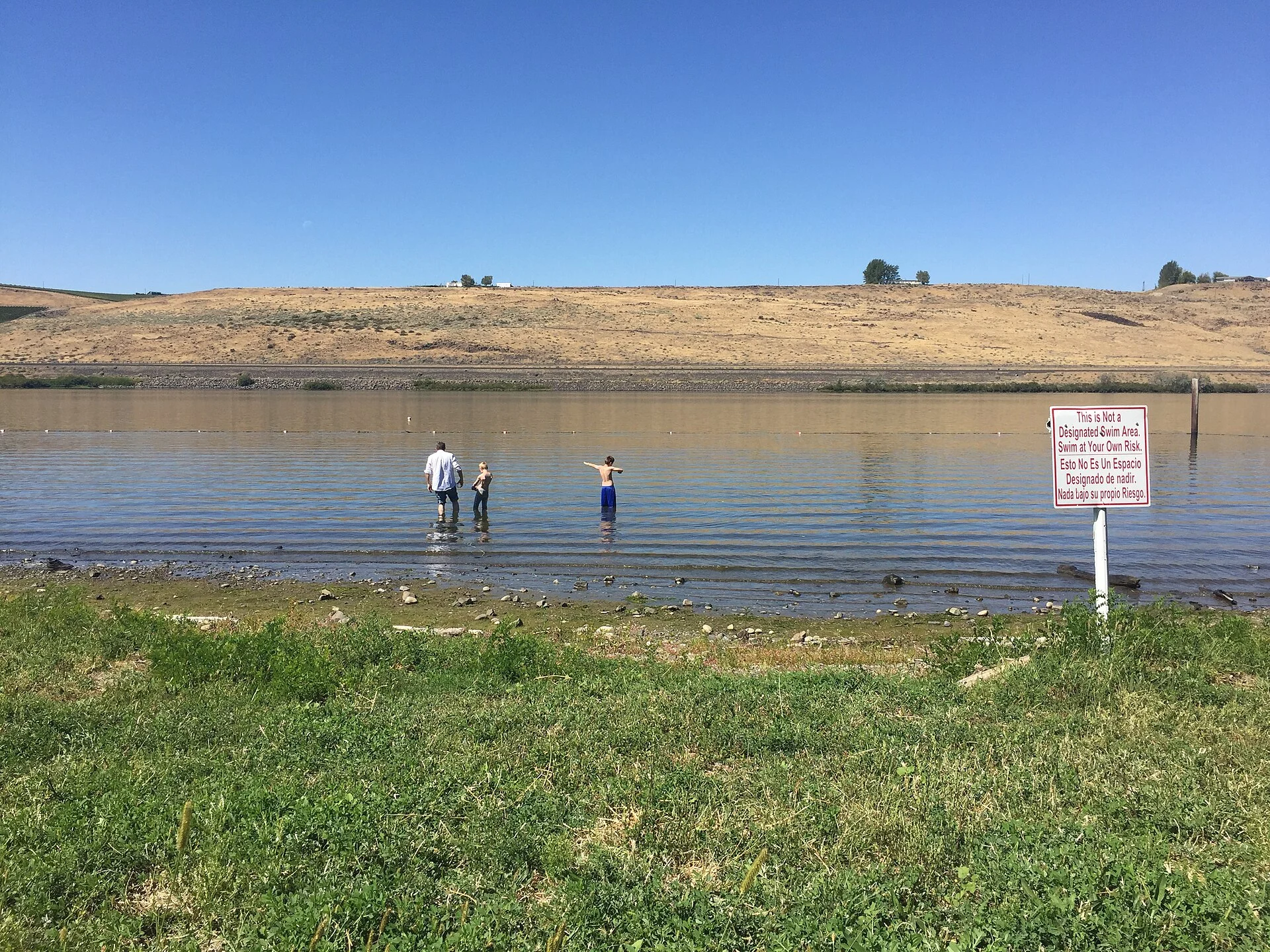
| Swimming | Sandy beach on the Columbia River (Lake Umatilla/McNary Pool). The water is notably warmer than the lower Columbia — the reservoir absorbs desert sun. Calm, shallow swimming area ideal for families. No lifeguards |
| Camping | 50 standard campsites with hookups (water and electric). Some sites on the bluff with river views. Modern restrooms and showers. The campground is well-maintained but feels remote — the desert isolates you from everything |
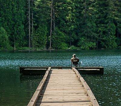
| Boating | Boat launch on the Columbia River. Access to Lake Umatilla — one of the quieter reservoirs on the Columbia. Jet skiing, waterskiing, sailing, and kayaking. The river is wide and open here |
| Fishing | Walleye, smallmouth bass, channel catfish, and sturgeon in the Columbia. The rocky shoreline and submerged structure create excellent habitat. Bass fishing is best in spring and fall. Sturgeon require a special retention permit |
| Hiking to the Summit | A trail climbs Crow Butte — 671 feet above the river. The summit provides 360-degree views: the Columbia River in both directions, the Horse Heaven Hills, the Cascade Range on the horizon, and the vast eastern Washington desert |
The Setting
| Feature | Details |
|---|---|
| The Columbia River | The fourth-largest river in North America. At Crow Butte, it’s impounded behind McNary Dam as Lake Umatilla — a wide, calm reservoir. The river has carved through millions of years of basalt lava flows, creating the dramatic canyon visible from the butte |
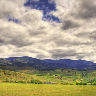
| Desert Isolation | The surrounding land is shrub-steppe — sagebrush, bunchgrass, and exposed basalt under enormous sky. Annual rainfall is 6–8 inches. The nearest services are in Paterson (tiny) or Roosevelt/Plymouth. This is genuinely remote |
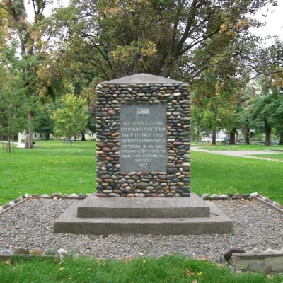
| Lewis & Clark | The Corps of Discovery passed through this stretch of the Columbia in October 1805, heading downstream toward the Pacific. Clark noted the buttes and the vastness of the landscape in his journal. The river looks much the same today — wider now behind the dam, but the same basalt walls |
| Wildlife | Mule deer, coyotes, and jackrabbits on the butte. Raptors — red-tailed hawks, prairie falcons, and golden eagles — soar the thermals above the cliffs. Rattlesnakes in the sagebrush (watch your step on trails) |
Best Time to Visit
| Season | Best For |
|---|---|
| Summer (Jun–Aug) | ☀️ Swimming. Boating. Water sports. Hot (95°F+) — but that’s why you’re at the river. Long desert evenings. Stars with no light pollution |
| Spring (Apr–May) | 🌸 Wildflowers on the butte. Bass and walleye active. Comfortable temps. The desert green (briefly). Migrating birds on the river |
| Fall (Sep–Oct) | Cooling temps. Water still warm. Fishing excellent. The desert golden. Harvest activity in the distant agricultural valleys |
| Winter (Nov–Mar) | Cold and windy. The park may have reduced services. Eagle watching along the Columbia. The river dramatic and empty |
Frequently Asked Questions
Is this an actual island?
Almost — Crow Butte is technically a peninsula, connected to the mainland by a narrow strip of land. When the reservoir is high, it looks and feels like an island. The approach road crosses the narrow connection, reinforcing the island feeling.
Are there rattlesnakes?
Yes — this is high desert rattlesnake habitat. Western rattlesnakes are present, especially on the hiking trail to the butte summit and in rocky areas. Watch where you step and where you put your hands. They’re not aggressive but will defend themselves.
Nearby state parks: If you have extra time, Brooks Memorial State Park is elsewhere in the state, and Sacajawea State Park is elsewhere in the state.
Camping reservations: Book campsites and cabins for Washington state parks online at washington.goingtocamp.com.
🏝️ A Basalt Butte Rising From the Columbia. A Swimming Beach in the Desert. Nothing Else for Miles.
Climb 671 feet above the river. See the Columbia in both directions. See the desert stretching to every horizon. Then come down, swim in warm reservoir water, and sleep under stars with zero light pollution. This is eastern Washington’s best-kept secret.
Nearby Attractions
John Day Dam is adjacent with fish ladder viewing. McNary National Wildlife Refuge — 20 miles east — protects Columbia River wetlands. Columbia Gorge continues east. Maryhill Museum and Stonehenge replica are 30 miles west. Tri-Cities (Richland, Kennewick, Pasco) are 50 miles east.