
Overview
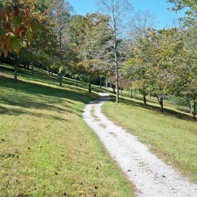
The Dawkins Line Rail Trail is a multi-use recreational trail built on the former right-of-way of the Chesapeake & Ohio Railway’s Dawkins subdivision in eastern Kentucky. Stretching approximately 18 miles through the rugged Appalachian foothills of Floyd, Johnson, and Magoffin counties, this rail trail provides a rare flat pathway through a landscape otherwise defined by steep hollows and narrow valleys.
Named after the former railroad line that once hauled coal from the remote mining communities of eastern Kentucky, the trail has been converted into a paved and crushed-stone path suitable for hiking, biking, horseback riding, and cross-country skiing. The trail follows the course of Lick Creek and Paint Creek through dense deciduous forests, offering a scenic journey through one of Kentucky’s most rugged and least-visited regions.
Trail Features and Recreation
The Dawkins Line Rail Trail features a gentle grade — typically less than 2% — making it accessible for users of all fitness levels, including wheelchair users on the paved sections. The trail surface varies between asphalt and packed crushed limestone, with several bridges crossing the creeks that wind through the valley.
Hiking and mountain biking are the most popular activities, though the trail also accommodates horseback riders on designated sections. Birdwatching is excellent along the route, particularly in spring when warblers, vireos, and thrushes fill the surrounding forest with song. Wildflower viewing is spectacular from April through June, with trillium, bloodroot, and Virginia bluebells carpeting the forest floor.
The trail passes through several small communities, offering occasional rest stops and access to local amenities. Interpretive markers along the route tell the story of the coal mining heritage that shaped these communities and the railroad that connected them to the outside world.
History
The Chesapeake & Ohio Railway built the Dawkins subdivision in the early 20th century to access the rich coal seams of eastern Kentucky. For decades, the railroad was the lifeline for isolated mining communities along Lick Creek and Paint Creek, hauling coal to market and bringing supplies to families living in the narrow valleys. As the coal industry declined and mining operations closed, the railroad was eventually abandoned. The corridor was preserved and converted into a recreational trail through the federal Rails-to-Trails program, with construction completed in phases beginning in the early 2000s.
Location and Access
The Dawkins Line Rail Trail runs between the communities of Prestonsburg and Royalton in eastern Kentucky, with multiple access points along its length. The primary trailheads are located in Prestonsburg (Floyd County) and near the community of Ivyton (Magoffin County). The trail is accessible from U.S. Route 23/460, the Mountain Parkway, and various county roads.
Frequently Asked Questions
Is the Dawkins Line Rail Trail paved?
Portions of the trail are paved with asphalt, while other sections feature packed crushed limestone. Both surfaces are suitable for biking and hiking, though road bikes perform best on the paved sections.
Are dogs allowed on the trail?
Yes, leashed dogs are welcome on the trail. Pet owners are expected to clean up after their animals and keep dogs under control at all times.
Is the trail open year-round?
Yes, the Dawkins Line Rail Trail is open year-round. Winter use is possible for hiking and cross-country skiing when conditions permit, though some sections may be icy or snow-covered.
Wildlife & Nature
Dawkins Line Rail Trail — a converted railroad corridor through the Appalachian foothills. The trail’s forest, meadows, and stream crossings support white-tailed deer, wild turkeys, and songbirds.
Nearby Attractions
Floyd County — surrounding. Prestonsburg — nearby.
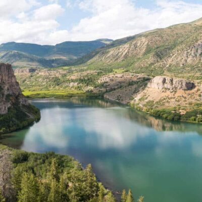
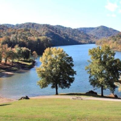
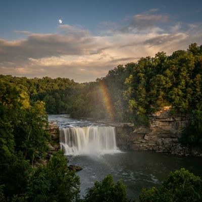
Nearby state parks: If you have extra time, Jenny Wiley State Resort Park is a short drive away, and Paintsville Lake State Park is a short drive away.

Park Location
Top Tours & Activities Near Lexington
 from $149
 from $550
 from $199