🏆🏆🏆🏆🏆 Multi-use trail along the Historic Columbia River Highway — America’s first planned scenic highway (1913–1922), an engineering masterpiece by Samuel Lancaster with waterfalls, tunnels, and Gorge views.
Visitor Information
| Detail | Information |
|---|---|
| Location | Multnomah County, Oregon |
| Entry Fee | Free (Oregon Coast) / Day-Use Permit |
About the Historic Columbia River Highway Trail
The Historic Columbia River Highway State Trail preserves sections of America’s first planned scenic highway, built between 1913-1922 by engineer Samuel Lancaster. The original highway was a marvel of engineering — graceful stone bridges, dramatic tunnels carved through basalt cliffs, and sweeping curves designed to showcase the Gorge’s beauty. When Interstate 84 replaced much of the route, Oregon converted abandoned highway sections into a multi-use trail.
Things to Do
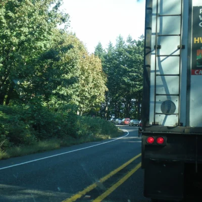
Hiking and cycling along the restored highway sections offers car-free views of the Columbia River Gorge that few places can match. Key trail segments include the Mark O. Hatfield Trail (between Hood River and Mosier — featuring the dramatic Mosier Twin Tunnels with panoramic Gorge views) and the Cascade Locks segment. The trail passes multiple waterfalls and connects to trailheads for Multnomah Falls, Wahkeena Falls, and other iconic cascades.
Getting There
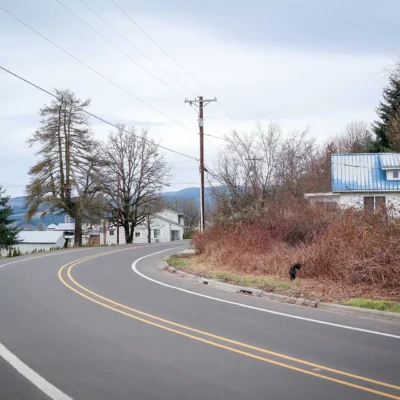
Multiple trailheads along I-84 between Troutdale and Hood River. The most popular segments are accessible from the Mosier Twin Tunnels trailhead (I-84 exit 69) and the Cascade Locks trailhead.
Insider Tips
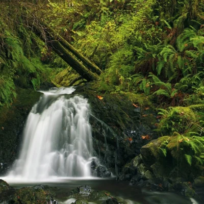
Engineering marvel: Built 1913-1922, the Historic Columbia River Highway was America’s first planned scenic road. Pro tip: The restored trail sections convert the original highway into car-free paths — bike or walk through tunnels and along cliff-edge pavement with Gorge views. Waterfall corridor: The Highway passes 11 waterfalls in 12 miles — including 620-foot Multnomah Falls.
Best Time to Visit
Spring: Waterfalls at peak flow and wildflower bloom. Fall: Vine maple turns scarlet in the Gorge. Summer: Long days for biking the trail. Winter: Waterfalls may partially freeze — dramatic ice formations.
Frequently Asked Questions
Can I bike the Historic Highway Trail?
Yes — restored sections are paved, car-free paths. The 4.6-mile Twin Tunnels section (Hood River to Mosier) is the most popular, passing through two original tunnels with panoramic Gorge views. E-bikes are permitted.
Wildlife & Nature
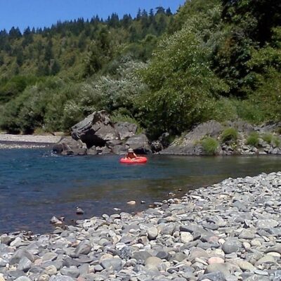
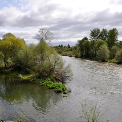
The Historic Columbia River Highway State Trail preserves restored sections of America’s first planned scenic highway (1913-1922) — designed by engineer Samuel Lancaster who carved the road through basalt cliffs with a maximum grade of 5%. The trail sections — including the Mosier Twin Tunnels — provide car-free hiking and biking through the Columbia River Gorge. The gorge’s unique ecology results from its position as the only sea-level passage through the Cascade Range — allowing marine air to penetrate inland and continental air to flow westward. This creates a remarkable botanical crossroads where coastal species (Sitka spruce, sword fern) grow within sight of desert species (ponderosa pine, sagebrush). Over 800 flowering plant species grow in the gorge — 15 found nowhere else on Earth.
Nearby Attractions
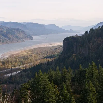
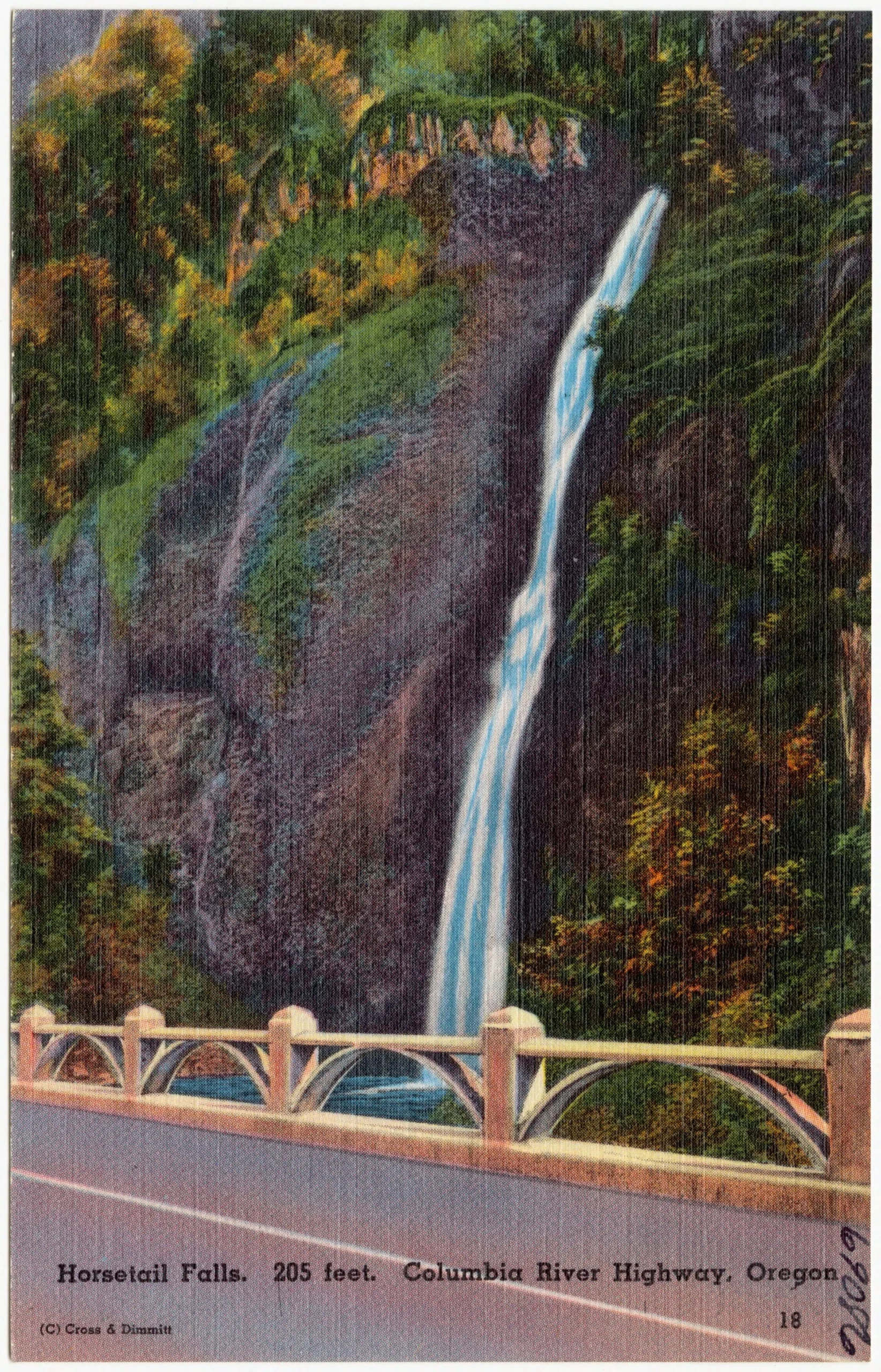
Multnomah Falls (620 feet) is Oregon’s most visited natural attraction. Crown Point Vista House offers 360-degree gorge panoramas. Wahkeena Falls, Horsetail Falls, and Latourell Falls create the highest concentration of waterfalls in North America. Bonneville Dam features underwater salmon viewing. Hood River — the windsurfing capital of the world — has a vibrant downtown with craft breweries and farm-to-table dining. Rowena Crest viewpoint overlooks the dramatic transition from green gorge to golden steppe.
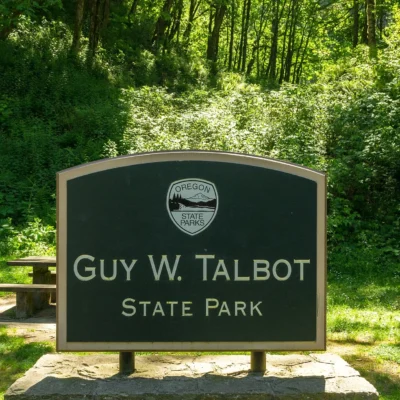
Nearby state parks: If you have extra time, Shepperd’s Dell State Natural Area is a short drive away, and Bridal Veil Falls State Scenic Viewpoint is a short drive away.

🐾 Dogs & Pets at Historic Columbia River Highway State Trail
- Pets allowed? statewide rule
- Pets are welcome in Oregon state parks and on most ocean beaches but must be leashed except in designated off-leash areas.
- Leash rule statewide rule
- Leash no longer than 6 feet required in developed park areas
- Beaches & swim areas statewide rule
- Pets are allowed on most ocean beaches under direct control; western snowy plover nesting areas restrict pets March 15 - Sept. 15; leash required on the beach at some parks (e.g. Cape Lookout)
- Cabins & lodging statewide rule
- Designated pet-friendly yurts and cabins at many parks (South Beach has 14 pet-friendly yurts, Tugman 8); maximum two dogs and/or cats; $10 per night pet fee
- Pet fees statewide rule
- $10 per night for pet-friendly yurts/cabins; no pet fee for day use or campsites
- Statewide exceptions statewide rule
- Pets prohibited at Dabney SRA, the Trail of Ten Falls at Silver Falls, and Shore Acres; off-leash areas at Stub Stewart, Willamette Mission, Elijah Bristow, Cottonwood Canyon and LaPine
Are dogs allowed at Historic Columbia River Highway State Trail?
Pets are welcome in Oregon state parks and on most ocean beaches but must be leashed except in designated off-leash areas. Individual parks can post stricter rules — check signage on arrival.
Rules verified July 2026 via stateparks.oregon.gov. More: Oregon state parks guide · Dog rules in all 50 states compared
Park Location
Plan your gear for Historic Columbia River Highway State Trail
From our editorial guides, matched to this park’s activities: