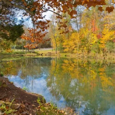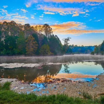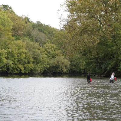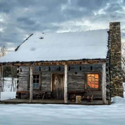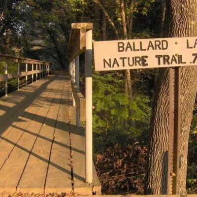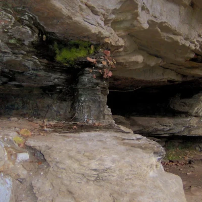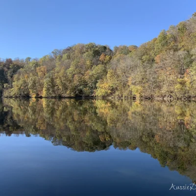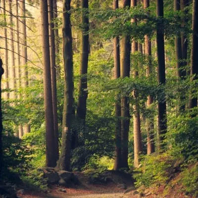

Photo: Chris M Morris, CC BY 2.0, via Wikimedia Commons
🌤 Weather at House Mountain State Natural Area by season
| Spring | Summer | Fall | Winter |
|---|---|---|---|
| 36–80 °F | 63–90 °F | 35–84 °F | 27–54 °F |
Each range runs from the coldest monthly average low to the warmest monthly average high in that season (1991-2020 climate normals), measured at Sevierville, 15 mi away, elevation 899 ft. Conditions at the park can differ from the station, especially where elevation differs — check a forecast before you go.

House Mountain State Natural Area is a Class I Scenic-Recreational State Natural Area of about 527 acres in Knox County, Tennessee, about 3 miles north of Mascot. The land belongs to the state, and the Knox County Department of Parks and Recreation runs it under a lease, not Tennessee State Parks. The EPA places it in the Southern Sandstone Ridges ecoregion (Level IV), part of the Ridge and Valley.
Knox County’s fact sheet describes the mountain’s 2,100-foot crest as a lookout over the parallel ranges of the Unakas and the Cumberlands, some 30 miles away, and over neighboring Clinch Mountain to the northeast. The bedrock under House Mountain is part of a large synclinal fold from the Alleghenian Orogeny, about 250 million years ago. The layers once reached Clinch Mountain, about two and a half miles away, until erosion by Big Flat Creek separated the two.
Visitor Information
| Detail | Information |
|---|---|
| Designation | Class I Scenic-Recreational State Natural Area (TDEC; Knox County fact sheet) |
| Size | About 527 acres (TDEC boundary data) |
| County | Knox County |
| Managed by | Knox County Department of Parks and Recreation, under a lease with the State of Tennessee (Knox County fact sheet) |
| Crest | About 2,100 feet (Knox County fact sheet) |
| Parking | Parking area on Hogskin Road (Knox County fact sheet) |
| Ecoregion | Southern Sandstone Ridges (EPA Level IV) |
Plants and Birds
Large sandstone boulders crusted with lichens line the western rim. The outcrops there carry chestnut oak and Virginia, pitch and Table Mountain pine, and mountain laurel, huckleberry, partridgeberry and trailing arbutus grow along the crest. Chestnut oak forest runs down the slopes. Lower down, on deeper and moister soils over limestone and on the north-facing slopes, the forest changes to sugar maple, tulip poplar, ash and buckeye. Spring wildflowers are densest in this moister forest.
The fact sheet calls House Mountain a favorite place for birdwatchers. Migrating hawks and warblers pass the mountain, and ruffed grouse, pileated woodpeckers, scarlet tanagers, wild turkeys and more than one hundred other bird species have been recorded here.
Frequently Asked Questions
How long is the hike to the summit?
TDEC’s trail data list the Mountain Trail at 0.89 miles one-way, the West Overlook Trail at 1.49 miles one-way and the Crest Trail at 1.36 miles out-and-back, plus a 0.2-mile connector and the Left and Right Sawmill Loops (0.28 and 0.38 miles).
Who manages House Mountain State Natural Area?
The State of Tennessee owns the land. Knox County’s fact sheet says the Knox County Department of Parks and Recreation manages it under a lease agreement with the state, and that public access is allowed, with a parking area and hiking trails.
How do I get there?
From Knoxville, take I-40 East and exit onto U.S. Highway 11W (Rutledge Pike). Follow Rutledge Pike north and east for about 10 miles, then turn left on Idumea Road and left again on Hogskin Road. The parking area is less than a mile ahead on the right. These directions come from Knox County’s fact sheet.
Keep exploring: The closest park profiles are Seven Islands State Birding Park (about 12 miles), Big Ridge State Park (about 14 miles) and Panther Creek State Park (about 21 miles). Distances are straight-line.
Before you go: Check current trail conditions with Knox County Parks and Recreation. Its House Mountain fact sheet lists the managing offices.

Park Map
Plan your gear for House Mountain State Natural Area
From our editorial guides, matched to this park’s activities: