🌤 Weather at Ishxenta State Park by season
| Spring | Summer | Fall | Winter |
|---|---|---|---|
| 46–64 °F | 51–69 °F | 48–71 °F | 44–61 °F |
Each range runs from the coldest monthly average low to the warmest monthly average high in that season (1991-2020 climate normals), measured at Monterey, 5 mi away, elevation 260 ft. Conditions at the park can differ from the station, especially where elevation differs — check a forecast before you go.

Ishxenta State Park protects 1,459 acres east of Highway 1 near Point Lobos in Monterey County, and the only public way in is a staff-led tour you book ahead.
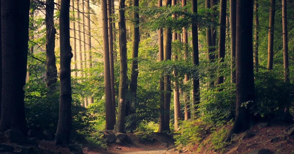
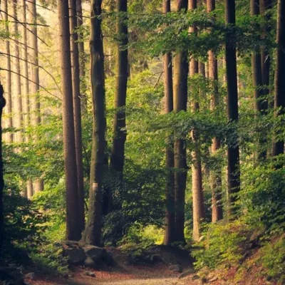
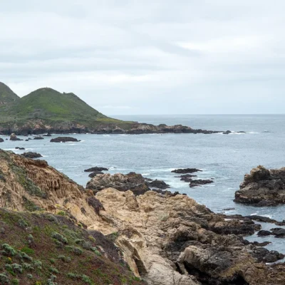
You come here for the forest. California State Parks describes one of the world’s largest native Monterey pine forests, stands of the rare Gowen cypress, maritime chaparral and a grove of coast redwoods. San Jose Creek gives steelhead trout protected spawning grounds. The upper elevations look out over Carmel Bay and the Monterey Bay National Marine Sanctuary coastline, but the trail open for tours is the lower creekside one.
How to Visit
You can’t walk in on your own. California State Parks publishes no open hours, lists access as pre-scheduled and opens the lower creekside trail on a limited basis for staff-led tours. It runs two different monthly hikes, booked through Eventbrite, and a joint tour with the Monterey Peninsula Regional Park District’s Let’s Go Outdoors program. Dates and registration are in the News & Events section of the park’s page, and the Monterey District answers questions at (831) 649-2836.
California State Parks is still “in the process of creating directions for this park,” so follow the meeting instructions for your tour. The park’s coordinates are 36.5150, -121.9217. That point marks the park on our map and is not a public entrance.
The Name and the Two Parcels
Ishxenta, pronounced “eesh-henta,” is the name the Rumsen people gave to the Point Lobos area, and California State Parks describes this park as significant Indigenous ancestral land. Most of it is the former Point Lobos Ranch property, 1,328 acres east of Point Lobos State Natural Reserve and Carmel River State Beach, across Highway 1. The Big Sur Land Trust bought the ranch and sold it to the state over several years starting in 1998. It still has an early twentieth century complex of ranch buildings.
The second parcel is Hatton Canyon, about 131 acres to the north, acquired from Caltrans in 2002. The two were named and classified as one state park in May 2021, with three subunits inside it: Tatlum Cultural Preserve, San Jose Creek Natural Preserve and Point Lobos Ridge Natural Preserve.
Frequently Asked Questions
Can I visit Ishxenta State Park without a tour?
No. California State Parks says the park is accessible to the public via staff-led tours, and the lower creekside trail is the part open on that limited basis.
Are dogs allowed at Ishxenta State Park?
No. California State Parks answers “Are dogs allowed?” with “No” on the park’s page.
Is Hatton Canyon part of Ishxenta State Park?
Yes. Hatton Canyon and the former Point Lobos Ranch property were joined to form the park. Hatton Canyon has its own California State Parks page and its own dog rule.
More parks nearby: Point Lobos State Natural Reserve and Carmel River State Beach are both a short drive away.
Sources: California State Parks, Ishxenta State Park; California State Parks Weekly Digest, February 11, 2022; staff report on the Carmel Area State Parks General Plan, May 14, 2021; California State Parks planning milestones. Checked November 2026.

🐾 Dogs & Pets at Ishxenta State Park
Park policy: California State Parks answers “Are dogs allowed?” with “No” on its Ishxenta State Park page (parks.ca.gov, checked November 2026).
- Pets allowed?
- No, dogs are not allowed at Ishxenta State Park
Are dogs allowed at Ishxenta State Park?
No, dogs are not allowed at Ishxenta State Park.
More: California state parks guide · Dog rules in all 50 states compared
Park Map
Plan your gear for Ishxenta State Park
From our editorial guides, matched to this park’s activities:

Top Tours & Activities Near Monterey & Carmel
 from $240
 from $248
 from $17