🏆🏆🏆🏆 Twin Cities to Prairie — 63-mile trail from the Twin Cities west through forests, prairies, and lake country to Cosmos
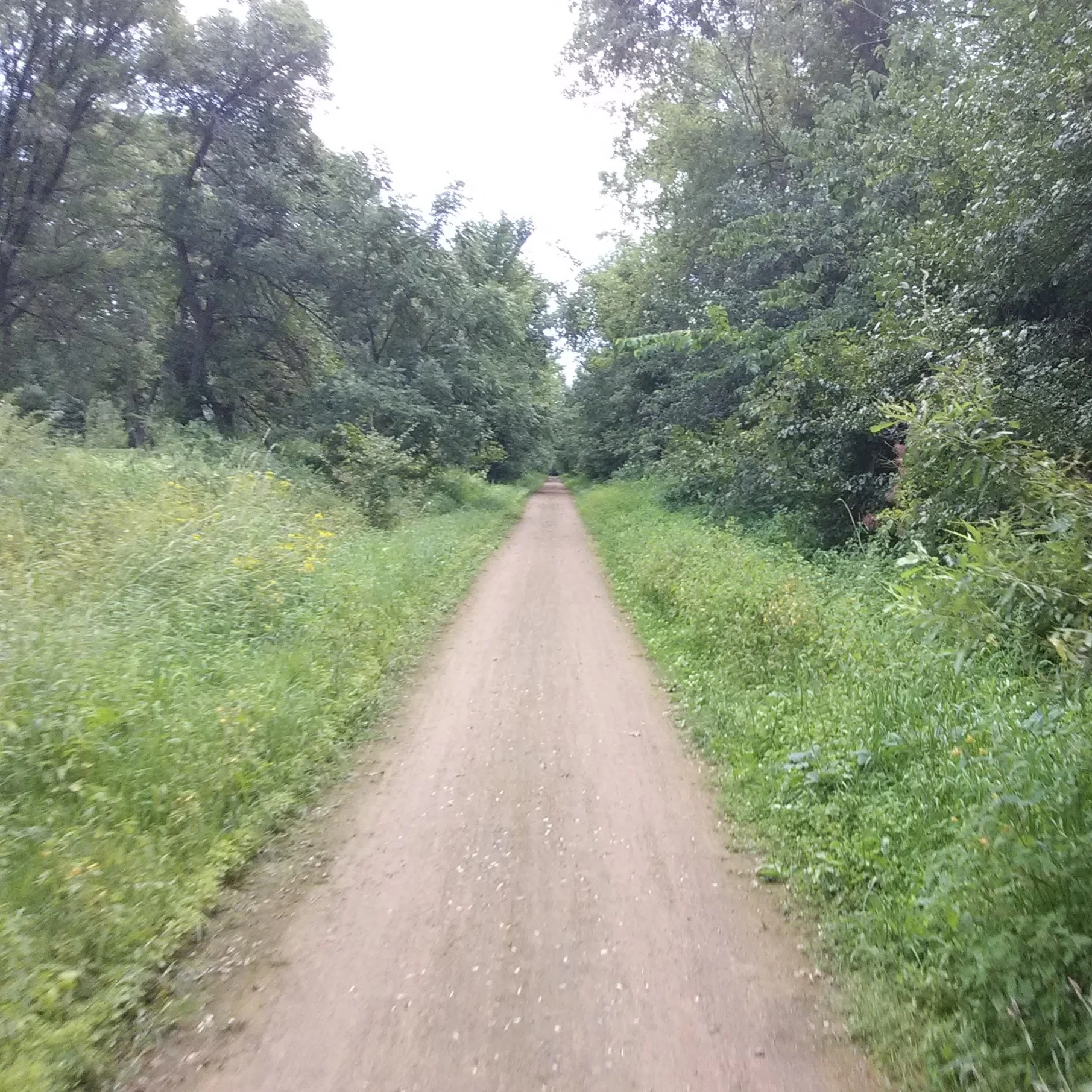
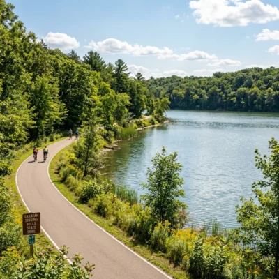
Luce Line State Trail stretches 63 miles from Plymouth (western Twin Cities suburb) to Cosmos, traversing the dramatic ecological transition from urban woodland to open prairie. Named for the old Luce Line Railroad, the trail passes through the Big Woods remnants, lake country, and into the tallgrass prairie. The eastern sections are paved; western sections are natural surface — a true cross-section of Minnesota’s diverse landscapes.
Visitor Information
| Detail | Information |
|---|---|
| Location | Plymouth to Cosmos, MN |
| Length | 63 miles |
| Fee | MN Ski/Trail Pass required |
| Landscape | Urban forest → Big Woods → prairie |
Frequently Asked Questions
Is the whole trail paved?
The eastern section (Plymouth to Winsted, ~30 miles) is paved. West of Winsted, the trail transitions to crushed limestone and natural surface — better suited to mountain or hybrid bikes.
Why are there so many rail-trails in Minnesota?
Minnesota had 9,000+ miles of railroad at its peak — built to transport grain, timber, and iron ore. As railroads declined, the corridors were converted to trails. Minnesota now has 25+ state trails covering 1,400+ miles — one of the most extensive trail systems in the US. The flat, well-graded railroad corridors make excellent cycling paths.
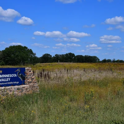
Make it a road trip: Pair a visit with Minnesota Valley State Recreation Area (within about an hour’s drive) or Fort Snelling State Park (within about an hour’s drive).
🚴 Visit Luce Line State Trail
63-mile biome crossing — forest to prairie through Minnesota’s ecological gradient.
About Luce Line Trail
Luce Line State Trail runs 63 miles from the western suburbs of Minneapolis to Cosmos — crossing the transition from urban to rural Minnesota. Named for the Luce Line railroad, the trail passes through suburban neighborhoods, marshlands, prairies, and farmland. The western sections cross restored prairie where the tallgrass once stood over 6 feet tall.
Things to Do
Biking the 63 miles from metro to prairie, hiking, horseback riding (on unpaved sections), birdwatching in the marshes, cross-country skiing, and experiencing the dramatic landscape transition from city to farm country.
Insider Tips
Twin Cities to prairie: Luce Line runs 63 miles from the western Twin Cities suburbs into the rural prairie of McLeod County. Pro tip: The trail transitions from suburban greenway to open prairie — you can literally watch the landscape change from metro to agricultural. Rail-trail heritage: The Luce Line was a railroad built in 1907 to serve farms — now it carries cyclists instead of grain.
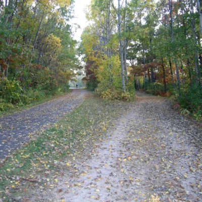
Best Time to Visit
Fall: Prairie grasses turn golden. Summer: Peak cycling — long paved and natural surface sections. Spring: Wildflowers along the corridor. Winter: Cross-country skiing on natural surface sections.
Wildlife & Nature
Luce Line Trail — a 63-mile trail from Plymouth to Cosmos — passes from Twin Cities suburbs through farmland to prairie. The trail’s transition from metro to rural is dramatic. White-tailed deer and ring-necked pheasants frequent the corridor. Bald eagles soar above. Sandhill cranes call from the wetlands.
Nearby Attractions
Plymouth — eastern terminus. Winsted — midpoint. Cosmos — western terminus. Minneapolis — connects via regional trail network.

Park Location


Top Tours & Activities Near Minneapolis-Saint Paul
 from $79
 from $110
 from $195