🏆🏆🏆🏆 Emerald Necklace Gem — 120-acre reservoir park in Newton/Brighton — part of Boston’s legendary Emerald Necklace park system
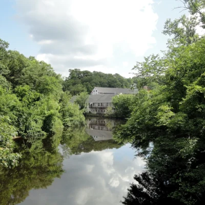
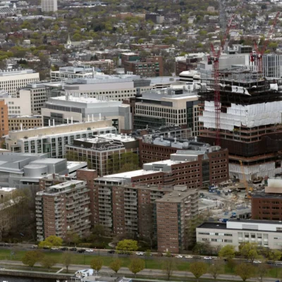
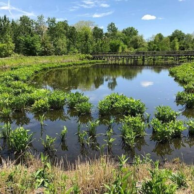
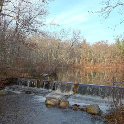
Chestnut Hill Reservation encompasses 120 acres around the scenic Chestnut Hill Reservoir in Newton and Brighton — part of Frederick Law Olmsted’s legendary Emerald Necklace park system. The 1.5-mile paved path around the reservoir is one of Boston’s most popular running and walking routes, offering views of the reservoir with the Boston College Gothic towers in the background. The reservoir was built in 1870 as part of Boston’s water supply system.
Visitor Information
| Detail | Information |
|---|---|
| Location | Newton/Brighton, MA |
| Size | 120 acres |
| Entry Fee | Free |
| Loop | 1.5-mile reservoir loop (paved) |
| System | Olmsted’s Emerald Necklace! |
Frequently Asked Questions
What is the Emerald Necklace?
Frederick Law Olmsted’s Emerald Necklace is a 1,100-acre chain of parks stretching from Boston Common to Franklin Park — one of the most important landscape architecture achievements in American history.
What towns were flooded for the Quabbin?
Four towns — Dana, Enfield, Greenwich, and Prescott — were completely dissolved and flooded to create the Quabbin Reservoir (1939). Over 2,500 residents were relocated and 7,500 graves were moved. The 412-billion-gallon reservoir now provides drinking water to 2.5 million people in the Boston metropolitan area.
Make it a road trip: Pair a visit with Hammond Pond Reservation (a short drive away) or Hemlock Gorge Reservation (a short drive away).
💎 Visit Chestnut Hill Reservation
Olmsted’s Emerald Necklace — reservoir loop with Boston College views.
About Chestnut Hill Reservation
Chestnut Hill Reservation in Brookline surrounds the 130-acre Chestnut Hill Reservoir — a former Boston water supply completed in 1870. The reservoir’s 1.5-mile perimeter path is one of the most popular jogging and walking routes in the Boston area, shared between the campuses of Boston College and Boston’s elegant Chestnut Hill neighborhood.
Things to Do
Jogging and walking the 1.5-mile reservoir loop, birdwatching (cormorants, herons, and migratory waterfowl), fishing, and enjoying the scenic urban green space. Spectacular reflections of Boston College’s Gothic towers in the water. One of Boston’s most beautiful running routes.
Insider Tips
Boston’s reservoir: Chestnut Hill Reservoir is a 129-acre open reservoir on the Boston-Newton line — popular for the 1.5-mile walking path around it. Pro tip: Boston College’s Gothic campus rises dramatically above the reservoir — one of the most photogenic settings in the Boston area. Water system: Boston’s water comes from the Quabbin Reservoir — a man-made lake created by flooding four entire towns in the 1930s.
Best Time to Visit
Year-round: The walking loop is popular in all seasons. Fall: Foliage reflected in the reservoir. Spring: Cherry blossoms along the path. Winter: Crisp air and skyline views.
Wildlife & Nature
Chestnut Hill Reservation — surrounds the Chestnut Hill Reservoir, a historic drinking water reservoir (1870) for Boston. The reservation’s tree-lined path and reservoir support Canada geese, great blue herons, and red-tailed hawks. The 1.5-mile perimeter path offers views of Boston College.
Nearby Attractions
Brighton/Newton — surrounding. Boston College — adjacent. Hammond Pond Reservation — 1 mile west.