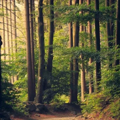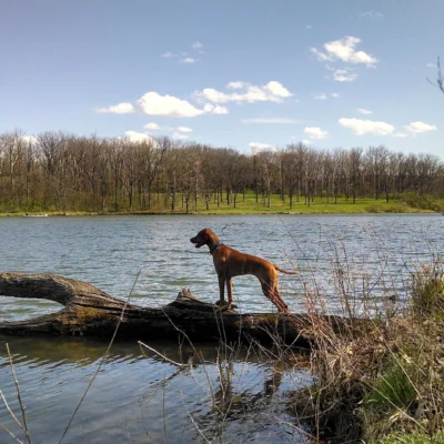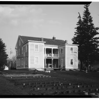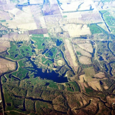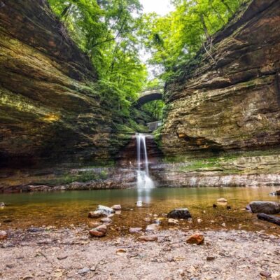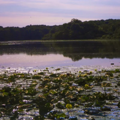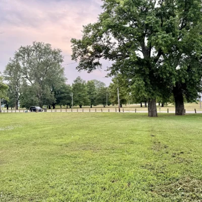

Photo: Ron Frazier from Bloomington IL, United States, CC BY 2.0, via Wikimedia Commons
🌤 Weather at Hennepin Canal State Trail by season
| Spring | Summer | Fall | Winter |
|---|---|---|---|
| 28–73 °F | 60–84 °F | 30–76 °F | 14–35 °F |
Each range runs from the coldest monthly average low to the warmest monthly average high in that season (1991-2020 climate normals), measured at Princeton, 12 mi away, elevation 697 ft. Conditions at the park can differ from the station, especially where elevation differs — check a forecast before you go.

The Hennepin Canal State Trail is a 104.5-mile Illinois DNR park along the Hennepin Canal, a concrete barge canal finished in 1907, with its visitor center beside the towpath near Sheffield.
The corridor crosses Rock Island, Bureau, Henry, Lee and Whiteside counties. The Illinois Department of Natural Resources (IDNR) also calls it Hennepin Canal State Park and Hennepin Canal Parkway.
Fees, seasons and rules below were checked against IDNR’s Hennepin Canal pages and its printed Recreational Guide (October 2020 edition) in October 2026.
Quick Facts
| Managed by | Illinois Department of Natural Resources |
| Length | 104.5-mile linear park; mainline canal plus a 29.2-mile feeder canal from Rock Falls |
| Counties | Rock Island, Bureau, Henry, Lee and Whiteside |
| Built | 1892–1907; listed on the National Register of Historic Places |
| Locks and aqueducts | 33 locks (32 still visible), none operating; 6 of the original 9 aqueducts remain |
| Visitor center | 16006 875 East Street, Sheffield; I-80 Exit 45; Monday–Friday, 7:30 a.m.–3:30 p.m. |
| Camping | Primitive only, $8 per family per night, first come, first served (details) |
| Swimming | Prohibited in all canal waters |
The Canal in Brief
Congress authorized the first surveys in 1871, digging started in 1892, and the first boat, the Marion, passed through in 1907. The canal cut the water route from Chicago to Rock Island by 419 miles, but its lock chambers were 20 to 40 feet narrower than the newly widened locks on the Illinois and Mississippi rivers, so it was outdated on opening day. By the 1930s most of its traffic was recreational, and boats used it until 1951. IDNR notes that it was the first American canal built of concrete without cut-stone facings.
On a map the canal looks like an upside-down “T”: the mainline runs from the Illinois River near Bureau Junction west to the Rock River, and the feeder canal comes down from Rock Falls to supply the water. IDNR’s history page has the longer story, including the winter ice that was cut from the canal and sold to help pay for its upkeep.
Getting There and the Visitor Center
The canal runs roughly parallel to I-80 through Bureau and Henry counties. For the visitor center, take I-80 Exit 45 and head south on Route 40. You cross the canal almost at once; after about a mile, a brown sign points you west to the center. It is the main park office, open Monday to Friday from 7:30 a.m. to 3:30 p.m. year-round unless posted otherwise (phone 815-454-2328). The park’s coordinates are 41.3788, -89.6913.
Inside you will find a small museum with hand-made construction tools, a model of a lock with a boat in it, a model of an aqueduct, and mounted animals from the corridor, among them red-tailed hawk, osprey, beaver, otter and badger. Outside, a half-acre prairie patch grows little and big bluestem, and a five-minute walk west on the towpath brings you to Bridge 15, an original iron truss bridge with a timber deck.
Plan your water around the visitor center: IDNR says the only drinking water on the entire canal is at the large shelter by the main parking lot, plus a faucet beside the visitor center entrance.
Trails: Towpath, Horses, Skis and Snowmobiles
The towpath runs along both sides of most of the canal and adds up to more than 100 miles of level trail. One side has a gravel (aggregate lime) or oil-and-chip surface; the other side is grass. Around the aqueducts the trail exists on only one bank, so hikers, cyclists and riders share it there. The Recreational Guide counts more than 70 biking miles on the mainline, 29 on the feeder and 3 in the Milan section near the Rock River. IDNR’s trails page lists the surface and side for each segment. Trails and parking lots are open 24 hours a day, year-round.
- Horseback riding: April 15 to October 31, on the grass side only, between Lock 2 and Lock 24 on the mainline and south of Bridge 46 (I-88) on the feeder. Horses have the right-of-way on the grass side. Tethering to trees and portable electric fences are not allowed.
- Cross-country skiing: a loop starts at the visitor center parking lot. The printed guide gives it as 2.3 miles, the activities page as 4.5 miles. It closes from October 31 to the second weekend in January for archery deer hunting.
- Snowmobiling: 91 miles on the towpath, which IDNR calls the longest snowmobile trail in Illinois. It opens only when there are 4 inches of snow on the ground and 6 inches of frost in it, and it is all open or all closed. Trails are not groomed. For the daily status, call 815-454-2328 for a recorded message.
- Ice skating: allowed at your own risk; IDNR does not check ice thickness, and the canal is about 7 feet deep at its deepest.
Paddling and Boating
The water is flat, so you supply all the power, and because no lock works anymore you have to carry your boat around every one. Between Lock 21 and Lock 2 that means 23 portages, and IDNR advises against paddling west of Lock 26 on the mainline. Stretches without a portage include Lock 22 to Lock 23 (9.1 miles), Lock 23 to Lock 24 (10.1 miles) and Lock 24 to Lock 25 (5.4 miles).
A 10-horsepower limit applies on all canal waters except between Lock 24 and Bridge 37, which is posted for unlimited horsepower. Launch ramps are at the visitor center complex, Locks 21, 22 and 24, Route 82 north of Geneseo, Route 92, Route 78 north of Annawan, and Bridges 28, 39 and 45. There are no boat docks and no canoe rental run by the park, and boats may not be moored overnight; IDNR treats a boat left for more than six hours as abandoned.
Fishing
You can fish 24 hours a day from about 70 bridges and the lock sites. The most common species are largemouth and smallmouth bass, catfish, walleye, crappie and bluegill. The limit is two poles per person, unattended bank poles are illegal, and jug fishing is allowed only from sunset to sunrise. In winter, ice anglers gather on the lagoon in the main complex.
Twice a year IDNR stocks the lagoon behind the visitor center with trout. It opens at 6 a.m. on the first Saturday in April and the third Saturday in October, and you need a fishing license plus an Inland Trout Stamp unless you are exempt.
Camping
The canal has nine designated campgrounds, all primitive: Lock 6, Lock 11, Lock 17, Lock 21, Bridge 14, Lock 22, Bridge 23, Lock 23 and Lock 26. There are no reservations, no set check-in times, no showers, no electricity and no dump station. Each site has toilets but no running water. A site security officer comes by to collect the fee in cash or by check.
- Class C camping: $8 per family per night, the same for a tent, pop-up or RV.
- Illinois seniors (65+): free Monday to Thursday, $8 Friday to Sunday. Illinois residents with a Class 2 or 2A disability card camp free.
- Youth groups: $20 daily minimum, then $2 per additional person.
- Horse camping only on the south side of the Lock 21 day-use area.
- Quiet hours 10 p.m. to 7 a.m.; fires only in the state-installed fire pits.
- No camping on the towpath or in the main complex around the visitor center.
The campgrounds sit on country roads that can be hard to find. Pick up the detailed canal map at the visitor center, or see IDNR’s camping page. Bring your own drinking water (see the visitor center section).
Locks, Aqueducts and Bridges Worth a Stop
- Lift bridges at Locks 21, 22 and 26 still stand. The one at Lock 21 is the only bridge on the canal you can drive across, and the concrete runners of an old dry dock remain nearby.
- Marshall gate at Lock 16: IDNR describes this type, unique to the Hennepin, as swinging on a horizontal axis “much like a rural mailbox.” Wooden gates are still in place at Locks 22, 23 and 24. At most other locks, concrete walls replaced the gates and the water spills over them in a string of small falls.
- Aqueducts 3, 4, 5, 6, 7 and 9 still carry the canal over streams. Most are visible only from the trail, but you can glimpse Aqueduct 3 from County Road 1400N just east of Wyanet.
- Iron truss bridges survive at Bridges 15 and 24 and at Locks 2, 11, 14 and 17.
- Locktender houses still stand at Locks 17 and 20, Bridge 16 and Lock 33.
- Milan section: Locks 30, 31 and 32 lie near the Rock River on what locals call Big Island.
Hunting
Hunting is limited and runs through drawings. Archery deer hunting goes by a site lottery for Illinois residents; applications are due at the visitor center by July 31. Dove hunting uses about 29 food plots drawn on the first day of the September season, with non-toxic shot only. Duck blinds on Lake Sinnissippi near the Rock River are drawn on the last Saturday in July. Other firearm hunting is not permitted. The visitor center does not sell licenses or permits; see IDNR’s site hunting information for current rules.
Rules to Know
- No swimming in any canal waters.
- Pets must stay on a leash no longer than 10 feet.
- Motor vehicles only on posted roads; the towpath is closed to unauthorized vehicles.
- Do not cut living trees. Downed wood may be burned on site but not taken out of the park.
- No fireworks.
- Groups of 25 or more need a Group Use Permit from the park office, and each group of up to 15 minors needs at least one adult.
Accessibility
Paved parking lots are at the visitor center and at the locks, with more at several bridges. A 200-foot concrete sidewalk with a slight incline leads from the parking lot to the visitor center, which has accessible flush toilets; vault toilets along the canal are accessible. The large shelter has ADA picnic tables, and a 300-foot oil-and-chip path connects the parking lot to the trail. Exhibits in the center are tactile, but there are no Braille or audio displays. Details: IDNR’s accessibility page.
When to Go
Spring brings the April trout opener and, from April 15, the horse trails. Summer is paddling and camping season. In fall, IDNR recommends the towpath for the turning leaves, the lagoon gets its second trout stocking on the third Saturday in October, and on the first Saturday of October the Hennepin Hundred ultramarathon runs from Rock Falls to Colona. Winter belongs to ice anglers on the lagoon, cross-country skiers after the second weekend in January, and snowmobilers once the snow and frost thresholds are met.
Nearby Parks
Distances are straight-line from the visitor center.
- Mautino State Fish and Wildlife Area, about 4 miles south-southwest, is what IDNR’s guide calls the canal’s satellite park; it holds its own dove drawing.
- Johnson-Sauk Trail State Recreation Area is about 11 miles west-southwest.
- Bishop Hill State Historic Site is about 25 miles west-southwest.
- Matthiessen State Park and Starved Rock State Park are about 35 and 36 miles east.
Explore More Illinois State Parks
Discover more parks in our Best State Parks in Illinois guide, or use our Park Finder to search by activity, location, or features.

🐾 Dogs & Pets at Hennepin Canal State Trail
- Pets allowed? statewide rule
- Pets are allowed in Illinois state parks and on trails as long as they are leashed at all times.
- Leash rule statewide rule
- Leash required at all times; state code caps leash length at 10 feet
- Beaches & swim areas statewide rule
- Pets are prohibited in areas posted 'NO PETS', reserved for beach areas, concession areas and crowded campground/picnic areas (e.g. no dogs on the beach at Illinois Beach State Park)
- Cabins & lodging statewide rule
- Pets are not allowed in campground cabins
- Statewide exceptions statewide rule
- Leash rule exceptions for hunting dogs, field trials and dog training areas; pets must not be left unattended
Are dogs allowed at Hennepin Canal State Trail?
Pets are allowed in Illinois state parks and on trails as long as they are leashed at all times. Individual parks can post stricter rules — check signage on arrival.
Rules verified July 2026 via dnr.illinois.gov. More: Illinois state parks guide · Dog rules in all 50 states compared
Park Map
Plan your gear for Hennepin Canal State Trail
From our editorial guides, matched to this park’s activities: