🏆 Official Guide: Mount Ascutney State Park — A 3,144-foot monadnock in Vermont’s Connecticut River Valley with a 3.7-mile scenic auto road, 12+ miles of hiking trails, hang gliding launches, and a 360° observation tower at the summit.
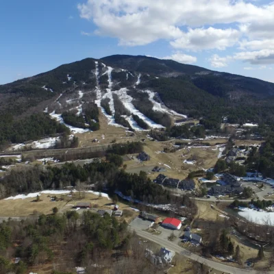
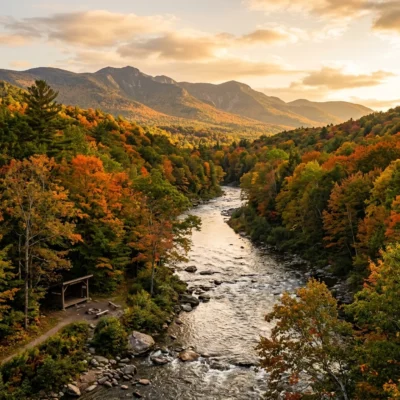
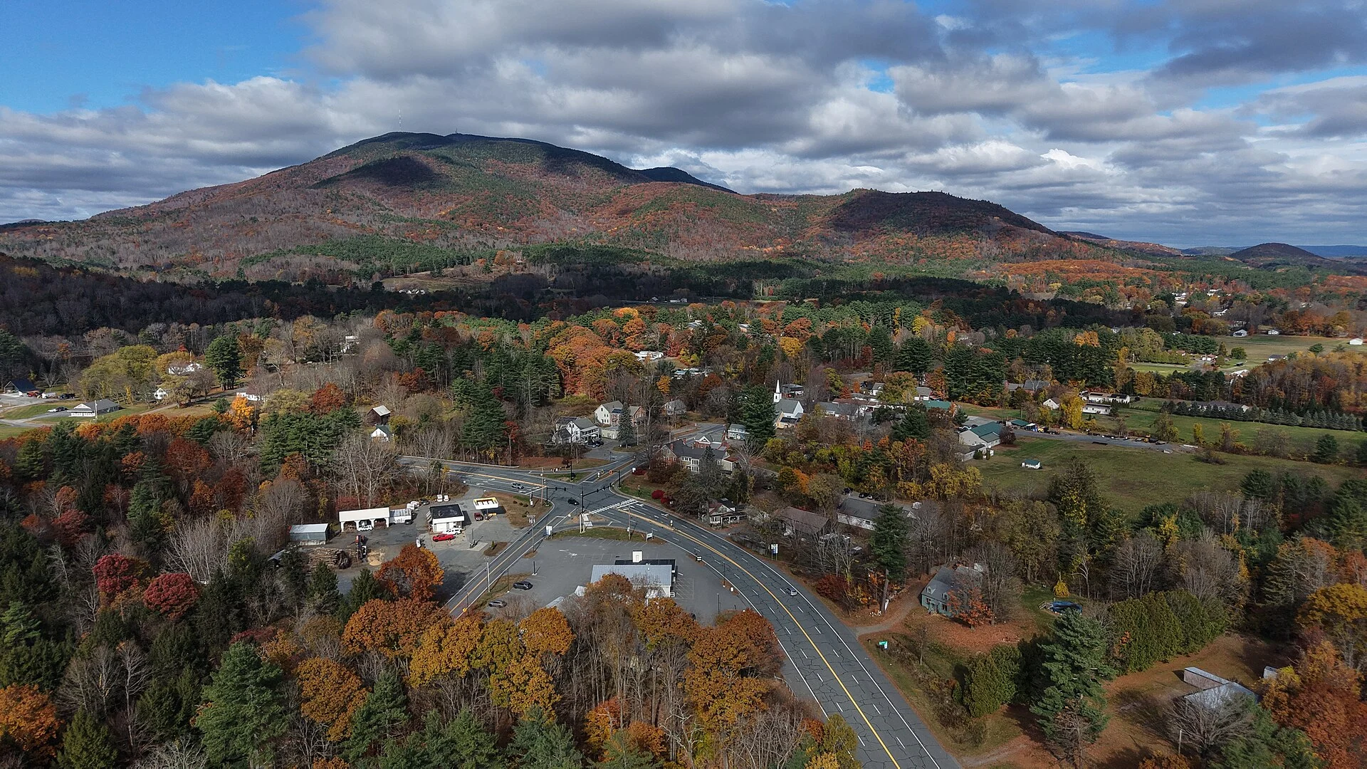
Mount Ascutney State Park in Windsor, Vermont, centers on Mount Ascutney — an isolated granite peak (monadnock) rising dramatically above the Connecticut River Valley. The mountain hosted what is believed to be America’s first public recreation trail, cut in 1825. Today the park offers camping, a paved auto road to near the summit, and an extensive trail network.
Visitor Information
| Detail | Information |
|---|---|
| Location | 1826 Back Mountain Rd, Windsor, VT |
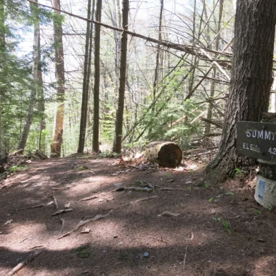
| Summit Elevation | 3,144 feet |
| Season | Late May – mid-October |
| Auto Road | 3.7-mile paved toll road to 2,800 ft |
| Campsites | 39 tent/RV sites + 10 lean-tos + 5 cabins |
| Observation Tower | 25-foot tower at summit — 360° views |
Hiking Trails
| Trail | Distance | Difficulty | Notes |
|---|---|---|---|
| Slot Trail (from auto road) | 0.6 mi | Moderate | Shortest summit route from parking |
| Slab Trail (from auto road) | 0.8 mi | Moderate | Exposed granite slabs, views |
| Weathersfield Trail | 2.9 mi | Strenuous | Base-to-summit, north side |
| Windsor Trail | 2.7 mi | Strenuous | Historic trail (est. 1825), east side |
| Brownsville Trail | 3.2 mi | Strenuous | West side, connects to hang gliding launches |
| Futures Trail | 2.3 mi | Moderate | Links lower parking to upper trails |
Hang Gliding & Paragliding
Mount Ascutney is one of the premier hang gliding and paragliding sites in New England. Two authorized launch sites — Brownsville Rock and South Peak — offer excellent thermal conditions from the exposed granite faces.
Getting There
From I-91: Exit 8 (Ascutney), follow Route 44A west to park entrance. From Windsor: 5 miles south via Route 44A.
Frequently Asked Questions
Can I drive to the summit of Mount Ascutney?
You can drive most of the way via the 3.7-mile paved Mount Ascutney Parkway, which climbs to a parking area at approximately 2,800 feet. From there, short trails (0.6–0.8 miles) lead to the 3,144-foot summit and its 25-foot observation tower with 360-degree views of Vermont and New Hampshire.
Is Mount Ascutney good for hang gliding?
Yes. Mount Ascutney is one of New England’s top hang gliding and paragliding sites. Two authorized launch sites — Brownsville Rock and South Peak — offer reliable thermal conditions from exposed granite faces. Experienced pilots regularly fly from the mountain.
When is Mount Ascutney State Park open?
The campground and auto road are typically open from the third weekend in May through mid-October. The hiking trails are accessible outside of this season, but the auto road and campground facilities close for winter.
More parks nearby: Ascutney State Park is a short drive away, while Wilgus State Park lies a short drive away.
Camping reservations: Book campsites and cabins for Vermont state parks online at vtstateparks-visit.com.