🏆 Official Guide: San Rafael State Natural Area — A closed-to-public preserve protecting one of Arizona’s last pristine native grassland valleys — a Madrean Sky Island biodiversity hotspot southeast of Patagonia.
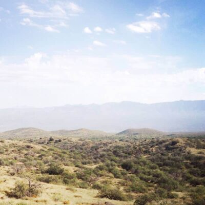
San Rafael State Natural Area encompasses a vast expanse of native grassland in Santa Cruz County, Arizona, approximately 20 miles southeast of Patagonia. Designated as a State Natural Area, this site prioritizes ecosystem preservation over recreation and is not open to public access. The preserve protects critical habitat within the San Rafael Valley — one of the most ecologically significant grassland landscapes remaining in the American Southwest.
Visitor Information
| Detail | Information |
|---|---|
| Location | Santa Cruz County, AZ — 20 miles SE of Patagonia |
| Public Access | Closed to the public |
| Designation | State Natural Area (ecosystem protection) |
| Elevation | ~4,900–5,200 feet |
| Managed By | Arizona State Parks & Trails |
The San Rafael Valley
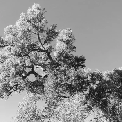
The San Rafael Valley is a broad, high-elevation grassland basin framed by the Patagonia Mountains, Huachuca Mountains, and Canelo Hills. It represents one of the last un-fragmented native grasslands in the southwestern United States — a landscape that once covered much of southeastern Arizona but has been lost to development, overgrazing, and invasive species elsewhere.
Madrean Sky Island Bioregion
The valley sits within the Madrean Sky Island bioregion — a globally significant ecological zone where the Rocky Mountains, Sierra Madre, Sonoran Desert, and Chihuahuan Desert converge. This creates extraordinary biodiversity, with species from multiple biomes coexisting in a single landscape.
Wildlife & Ecology
| Species Group | Notable Species |
|---|---|
| Mammals | Pronghorn antelope, mule deer, white-tailed deer, javelina, bobcat, mountain lion, coyote |
| Birds (IBA) | Montezuma quail, Baird’s sparrow, Botteri’s sparrow, yellow-billed cuckoo, wintering raptors |
| Reptiles | Various Sky Island endemic species |
| Plants | Native bunch grasses, riparian cottonwood/willow, Huachuca water umbel (protected) |
The area is designated as an Important Bird Area (IBA) by the Audubon Society, attracting birders from across the world seeking rare grassland species difficult to find elsewhere in the United States.
Scenic Driving Alternative
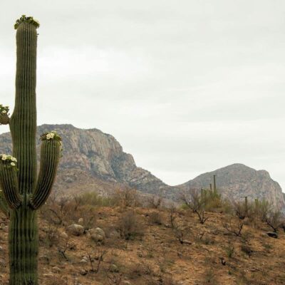
While the Natural Area itself is closed, visitors can experience the San Rafael Valley by driving Forest Service Road 61 and other unpaved routes through the surrounding Coronado National Forest. These roads offer sweeping views of the grassland valley, mountain ranges, and wildlife from your vehicle.
History
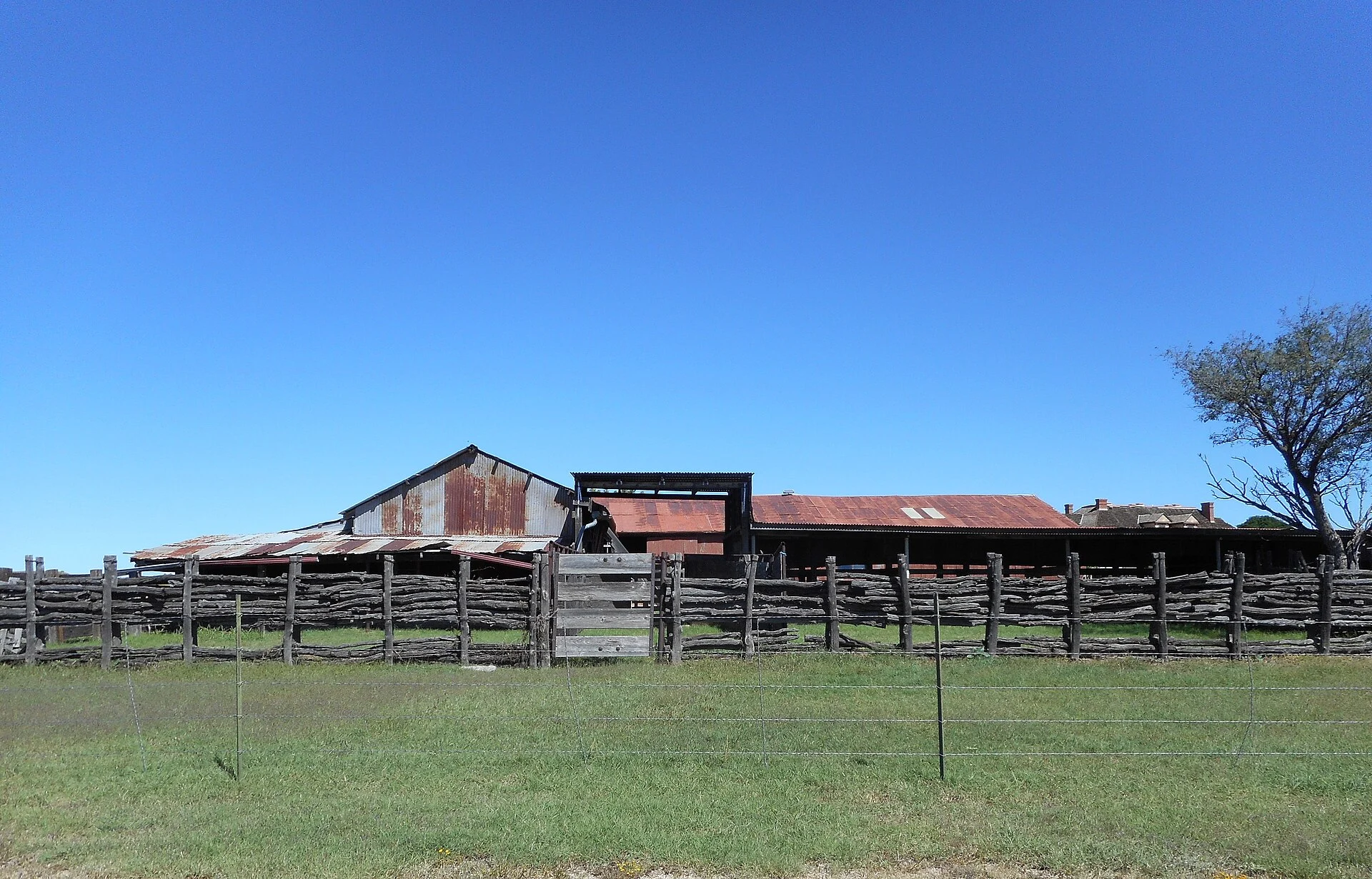
The San Rafael Valley has a long ranching heritage dating to the Spanish colonial period. The state acquired the natural area to prevent subdivision and development of this ecologically critical grassland. The “natural area” designation — the strictest protection level in the Arizona State Parks system — ensures the landscape remains undeveloped and undisturbed.
Getting There
The San Rafael Valley is located south of Patagonia and east of Nogales in Santa Cruz County. Access roads include AZ-82 and Forest Service Road 61. The nearest services are in Patagonia (20 miles NW) and Sierra Vista (30 miles NE).
Nearby Alternatives
| Destination | Distance | Highlights |
|---|---|---|
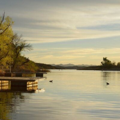
| Patagonia Lake State Park | 15 miles NW | Swimming, fishing, camping, boat rentals |
| Coronado National Memorial | 25 miles SE | Hiking, history, Mexican border views |
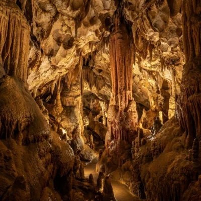
| Kartchner Caverns State Park | 45 miles NE | Living cave tours, camping |
| Sonoita Creek State Natural Area | 15 miles NW | Birding, riparian habitat |
Frequently Asked Questions
Can I visit San Rafael State Natural Area?
No. San Rafael State Natural Area is permanently closed to public access. Arizona State Parks designated it as closed due to its fragile grassland ecosystem, lack of infrastructure, and the need for undisturbed habitat protection. You can view the San Rafael Valley from surrounding Forest Service roads.
What is a Madrean Sky Island?
Madrean Sky Islands are isolated mountain ranges in southeastern Arizona and northern Mexico that rise above the desert floor like islands in a sea of grassland. They create unique biodiversity hotspots where species from the Rocky Mountains, Sierra Madre, and Sonoran/Chihuahuan deserts overlap — supporting species found nowhere else in the United States.
Where can I hike near San Rafael Valley?
The Coronado National Forest surrounds the valley and offers hiking on public land. The Arizona National Scenic Trail (Passage 3: Canelo Hills West) passes through similar grassland and mountain terrain. Patagonia Lake State Park (15 miles NW) offers developed trails and water recreation.
Make it a road trip: Pair a visit with Patagonia Lake State Park (within about an hour’s drive) or Sonoita Creek State Natural Area (within about an hour’s drive).