🌤 Weather at Milltown State Park by season
| Spring | Summer | Fall | Winter |
|---|---|---|---|
| 27–66 °F | 47–85 °F | 26–73 °F | 20–39 °F |
Each range runs from the coldest monthly average low to the warmest monthly average high in that season (1991-2020 climate normals), measured at Missoula 2 NE, 4 mi away, elevation 3,420 ft. Conditions at the park can differ from the station, especially where elevation differs — check a forecast before you go.

Montana’s Superfund-to-State-Park Restoration — 635 Acres at the Clark Fork & Blackfoot River Confluence, Interpretive Trails, Fishing, Paddling & Lewis and Clark History Near Missoula
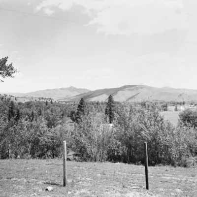
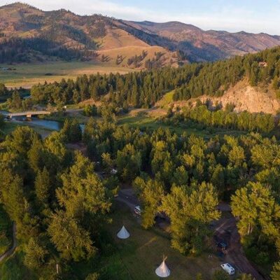
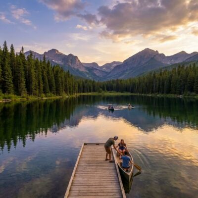
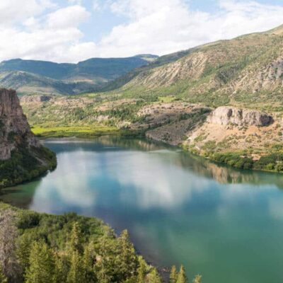
Milltown State Park is a 635-acre day-use park at the confluence of the Clark Fork and Blackfoot Rivers in Missoula County, Montana. The park celebrates one of America’s most remarkable environmental restoration stories — the Milltown Dam removal and Superfund site remediation that returned two rivers to their free-flowing state after over a century. Today, the park offers interpretive trails and displays, river access for fishing and paddling, panoramic overlook views, wildlife viewing, and connections to the region’s deep indigenous, exploration, and geological history.
The park encompasses restored river bottoms, cottonwood stands, pine-forested bluffs, and dramatic rock cliffs. The Milltown area is the ancestral homeland of the Salish and Kalispel peoples, who recognized the confluence as a key site for bull trout. Meriwether Lewis of the Corps of Discovery passed through on July 4, 1806. The landscape was also shaped by the massive floods of Glacial Lake Missoula thousands of years ago. For visitors near Missoula, Milltown delivers a powerful combination of environmental education, river recreation, and Montana scenery.
Things to Do
Interpretive Trails & History
- ~3 miles of hiking trails: From the overlook down to the Clark Fork River floodplain
- Overlook area: Panoramic views of both rivers with interpretive displays
- Confluence interpretive plaza: Paved, accessible trails along the lower Blackfoot River
- History covered: Superfund restoration, dam removal, Salish/Kalispel heritage, Lewis & Clark, Glacial Lake Missoula
Fishing
- Clark Fork River: Trout fishing in a restored free-flowing river
- Blackfoot River: Famous fly-fishing destination (A River Runs Through It)
- Montana fishing license required
Paddling & Floating
- River access points: Launch kayaks, canoes, and rafts at the confluence area
- Float trips: Popular on both the Clark Fork and Blackfoot Rivers
Wildlife & Nature
- Birding: Restored riparian habitat attracts osprey, eagles, herons, and songbirds
- Wildlife: White-tailed deer, mink, river otter, and beaver
- Cottonwood and pine forest: Scenic in all seasons
Park Information
| Feature | Details |
|---|---|
| Type | Day-use only — no camping |
| Size | 635 acres |
| Entrances | Confluence Area (7363 Juniper Dr) + Overlook Area (1353 Deer Creek Rd) |
| Hours | Seasonal gate hours — typically 9 AM to 9 PM in summer |
| Trails | ~3 miles; overlook to river; some paved/accessible |
| Facilities | Picnic tables; interpretive displays; vault restrooms |
Best Time to Visit
| Season | Highlights | Considerations |
|---|---|---|
| Summer (Jun–Aug) | ⭐ PEAK: Floating and paddling; fly fishing; longest days; full interpretive displays; wildlife | Hot afternoons; popular; check gate hours |
| Fall (Sep–Oct) | ⭐ Fall color in cottonwoods; brown trout run; quiet; photography; osprey migration | Cooling; shorter gate hours; river levels dropping |
| Spring (Apr–May) | River high and powerful; spring birding; wildflowers; lush; interpretive trails | High water; cold; variable weather; some trails may be wet |
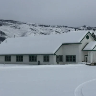
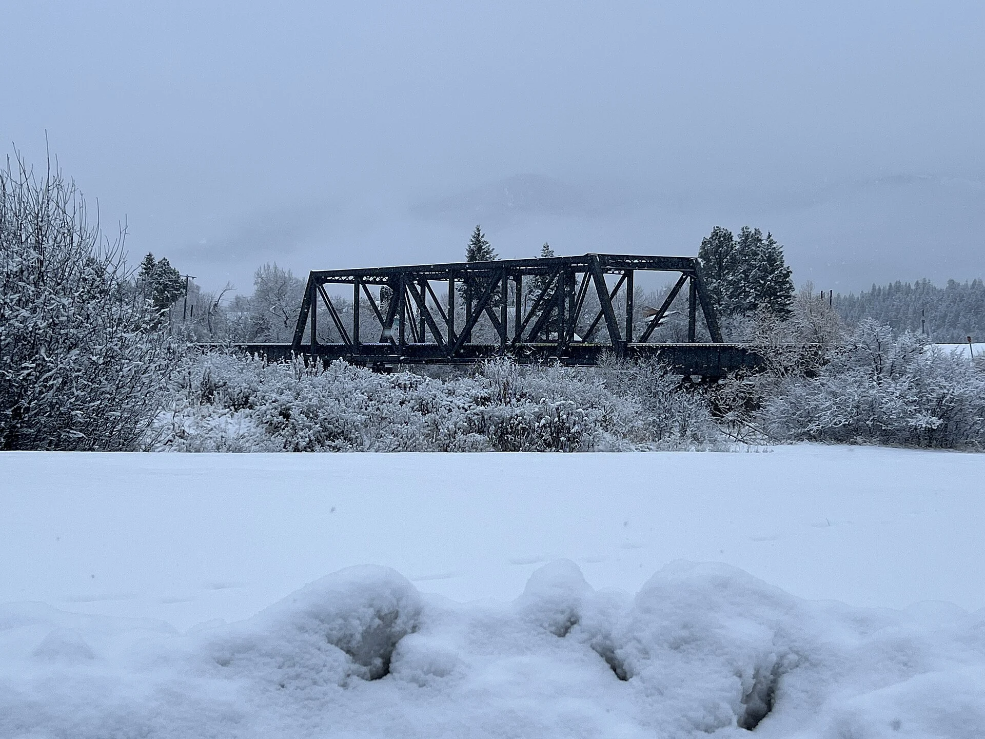
| Winter (Dec–Mar) | Winter birding; bald eagles; snowy river scenery; solitude | Cold; short days; limited gate hours; some trails icy |
Visitor Tips
- Two entrances: The park has two separate access points — the Confluence Area (river level) and the Overlook Area (bluff-top views). Visit both for the full experience.
- Superfund to state park: Milltown is one of America’s most successful environmental restoration projects — the interpretive displays tell the full story of dam removal and river restoration.
- A River Runs Through It: The Blackfoot River — made famous by Norman Maclean’s novel — joins the Clark Fork at this very confluence. Fly fishing here is iconic Montana.
- Gate hours: The park has seasonal gate hours (typically 9 AM–9 PM in summer). Check mt.gov/stateparks for current hours before visiting.
- Near Missoula: The park is just minutes from downtown Missoula — combine with the university town’s restaurants, breweries, and culture.
- Glacial Lake Missoula: The landscape you’re walking through was shaped by catastrophic Ice Age floods — the interpretive displays explain this dramatic geological history.
Frequently Asked Questions
What is the history of Milltown State Park?
Milltown State Park occupies the site of the former Milltown Dam and Milltown Reservoir Superfund site at the confluence of the Clark Fork and Blackfoot Rivers near Missoula, Montana. The dam, built over a century ago to power local mills, was removed in 2008 as part of one of the largest dam removal and environmental restoration projects in U.S. history. The area is the ancestral homeland of the Salish and Kalispel peoples. Meriwether Lewis passed through on July 4, 1806, during the Corps of Discovery expedition. The 635-acre park now features restored river habitat, interpretive trails, and panoramic overlooks telling the story of dam removal, indigenous heritage, and Glacial Lake Missoula’s Ice Age floods.
Can you fish at Milltown State Park?
Yes — Milltown State Park provides river access to both the Clark Fork and Blackfoot Rivers for fishing. The Blackfoot River — made famous by Norman Maclean’s “A River Runs Through It” — is one of Montana’s premier fly-fishing destinations. Trout species are the primary catch. The Clark Fork also offers quality trout fishing in a restored, free-flowing river. A valid Montana fishing license is required. The park is day-use only with no camping.
Last updated: May 2026
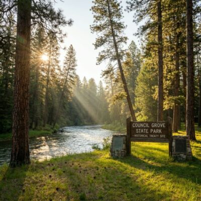
Keep exploring: The closest neighbors are Travelers’ Rest State Park (a short drive away) and Council Grove State Park (a short drive away).
Camping reservations: Book campsites and cabins for Montana state parks online at montanastateparks.reserveamerica.com.

🐾 Dogs & Pets at Milltown State Park
- Pets allowed? statewide rule
- Pets are allowed at most Montana state parks but must be leashed and not left unattended.
- Leash rule statewide rule
- Leash no longer than 8 feet required, unless otherwise posted.
- Beaches & swim areas statewide rule
- Pets are prohibited from swimming beaches and posted restricted areas.
- Statewide exceptions statewide rule
- Pets prohibited at Frenchtown Pond and Wild Horse Island; kennel service offered during Lewis and Clark Caverns tours; Spring Meadow Lake no pets April 16 - October 14; Lake Elmo has a fenced dog park.
Are dogs allowed at Milltown State Park?
Pets are allowed at most Montana state parks but must be leashed and not left unattended. Individual parks can post stricter rules — check signage on arrival.
Rules verified July 2026 via fwp.mt.gov. More: Montana state parks guide · Dog rules in all 50 states compared
Park Location
Plan your gear for Milltown State Park
From our editorial guides, matched to this park’s activities: