
Connecticut’s Undeveloped Lake Waramaug Preserve — 214-Acre Wilderness, Rugged Terrain Hiking, Nature Exploration & Solitude Near New Preston in Washington
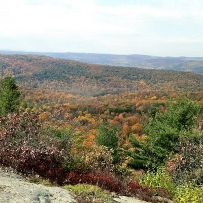
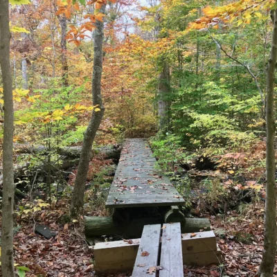
Mount Bushnell State Park is a 214-acre undeveloped state park in the town of Washington, Litchfield County, Connecticut, south of Lake Waramaug. The park features unmarked, rugged terrain hiking through 214 acres of wilderness, no maintained trails or amenities, nature exploration in dense mixed hardwood forest, and complete solitude near the scenic New Preston area.
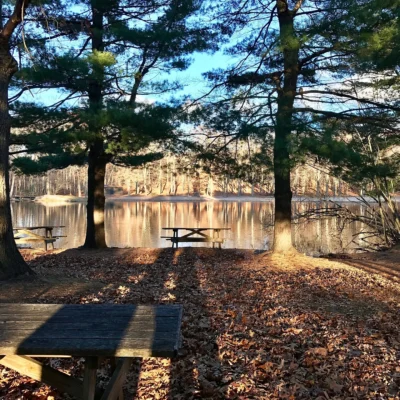
Mount Bushnell State Park is one of Connecticut’s most challenging undeveloped state parks to visit — 214 acres of wild, unmarked forest with no signs, no maintained trails, no parking lot, no restrooms, and no official entrance. The park is located south of Lake Waramaug, off Tinker Hill Road in the New Preston area of Washington, CT. Experienced hikers who navigate the rugged, natural terrain will find dense mixed hardwood forest, rocky outcrops, and the chance for genuine wilderness solitude — even though the park is surrounded by some of Connecticut’s most affluent residential areas. Navigation skills (GPS, topo map, compass) are essential. The boundaries between public state land and adjacent private property are not clearly marked — visitors must take care to stay within the park.
Things to Do
Wilderness Hiking
- 214 acres of unmarked forest
- Rugged, natural terrain
- Rocky outcrops and ridges
- No maintained or blazed trails
- GPS/compass navigation essential
Nature Exploration
- Dense mixed hardwood forest
- Seasonal wildflowers and ferns
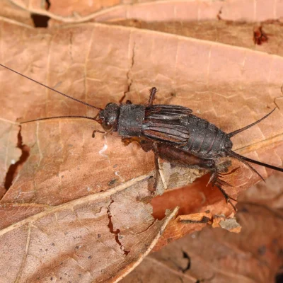
- Wildlife — deer, turkeys, raptors
- Mushroom foraging in season
Park Information
| Feature | Details |
|---|---|
| Acreage | 214 acres |
| Type | Undeveloped — NO maintained trails or amenities |
| Location | Washington, Litchfield County, CT — south of Lake Waramaug |
| Access | Off Tinker Hill Road, New Preston area |
| Trails | NONE maintained — rugged natural terrain |
| Facilities | NONE — no parking lot, restrooms, signs, or entrance |
| Camping | NOT permitted |
| Swimming | NOT available |
| Fees | FREE |
| Navigation | GPS/compass REQUIRED |
| Boundaries | Unmarked — borders private property |
| Coordinates | 41.6895° N, 73.3623° W |
Best Time to Visit
| Season | Highlights | Considerations |
|---|---|---|
| Fall (Sep–Nov) | ⭐ BEST: Lake Waramaug area foliage; cool air; clear sightlines through thinning canopy | Hunting possible nearby — blaze orange; leaves obscure terrain; slippery |
| Spring (Apr–May) | Wildflowers; birding; green-up; fern unfurling; streams flowing | Very muddy; ticks extremely active; no trail markers |
| Winter (Dec–Mar) | Bare-tree navigation; animal tracks in snow; complete solitude | Cold; snow-covered terrain; very difficult navigation; short days |
| Summer (Jun–Aug) | Full canopy; deep shade; butterfly habitat; long days | Dense undergrowth; very poor visibility; mosquitoes; poison ivy |
Visitor Tips
- Not for beginners: This park has NO trails, NO signs, NO parking lot — it is suitable only for experienced hikers with navigation skills.
- GPS required: Bring a GPS device, compass, and detailed topo map — there are no blazes or markers.
- Private property: The park borders private residential property — boundaries are not marked. Stay within the park.
- Access: The park is located off Tinker Hill Road in the New Preston area of Washington — there is no official entrance.
- Nearby alternatives: For maintained trails with views of Lake Waramaug, visit the nearby Macricostas Preserve (Meeker Trail) or Steep Rock Preserve.
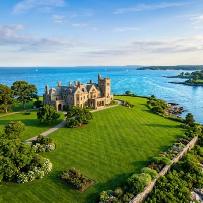
- Lake Waramaug: Lake Waramaug State Park is nearby and offers camping, swimming, and picnicking.
Frequently Asked Questions
Can you hike at Mount Bushnell State Park?
Mount Bushnell State Park in Washington, Litchfield County, Connecticut, is a 214-acre undeveloped state park with no maintained trails, no signs, no parking lot, and no facilities. While hiking through the forest is possible, it requires GPS or compass navigation and experience with rugged, unmarked terrain. The park borders private property with no clearly marked boundaries. It is free to visit but suitable only for experienced hikers. For maintained trails near Lake Waramaug, consider the nearby Macricostas Preserve or Steep Rock Preserve instead.
Last updated: May 2026
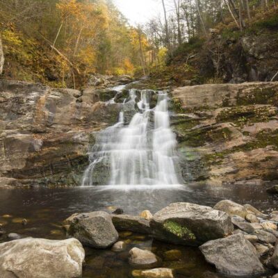
Make it a road trip: Pair a visit with Lake Waramaug State Park (a short drive away) or Kent Falls State Park (a short drive away).

Park Location
Top Tours & Activities Near Connecticut
 from $100
 from $28from $75