🌤 Weather at North Santiam State Recreation Site by season
| Spring | Summer | Fall | Winter |
|---|---|---|---|
| 34–63 °F | 46–76 °F | 36–70 °F | 32–45 °F |
Each range runs from the coldest monthly average low to the warmest monthly average high in that season (1991-2020 climate normals), measured at Silver Creek Falls, 8 mi away, elevation 1,350 ft. Conditions at the park can differ from the station, especially where elevation differs — check a forecast before you go.

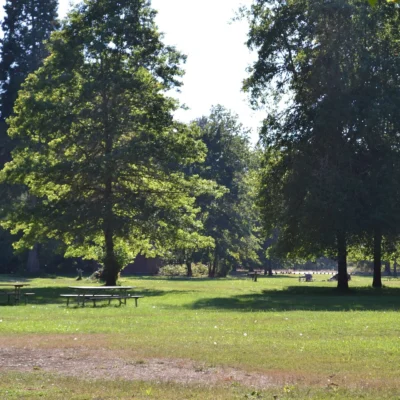
North Santiam State Recreation Site is no longer run by Oregon State Parks: Marion County has operated the roughly 121-acre park on Highway 22, about 30 miles east of Salem, since January 2022, and in September 2023 the Oregon Parks and Recreation Commission approved transferring the land to the county. Marion County gave the original park land to the state in 1937.
Quick Facts
| State | Oregon |
| Location | Highway 22, about 30 miles east of Salem |
| Established | 1937 |
Location & Getting There
The park lies on Oregon Highway 22, about 30 miles east of Salem and about 4 miles west of Mill City. The park’s coordinates are 44.7711, -122.5650.
Explore More Oregon State Parks
Looking for state parks in Oregon? Discover them in our Best State Parks in Oregon guide, or use our Park Finder to search by activity, location, or features.
Wildlife & Nature
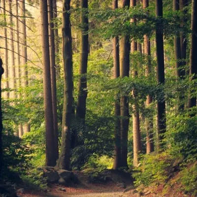
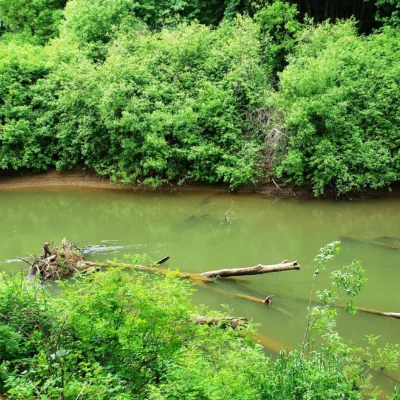
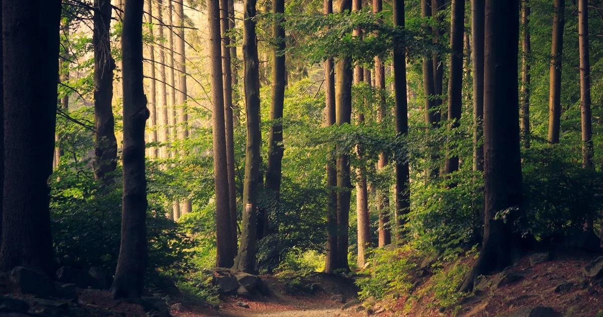
North Santiam State Recreation Site provides access to the North Santiam River — one of the Willamette Valley’s most important water supply and recreation rivers. The North Santiam’s cold, clean water supports wild runs of winter steelhead and spring Chinook salmon — fish that navigate hundreds of miles from the Pacific Ocean to spawn in these Cascade-fed streams. The river corridor’s mixed forest of Douglas fir, bigleaf maple, and red alder supports nesting bald eagles and osprey. American dippers — remarkable songbirds that hunt underwater in rushing streams — bob on mid-stream rocks. The river’s cold temperatures support native cutthroat trout. Rough-skinned newts — whose bright orange bellies warn predators of their lethal tetrodotoxin skin secretion (the same toxin found in puffer fish) — are common in the moist forest.
Nearby Attractions
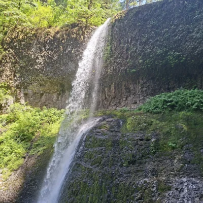
Silver Falls State Park — Oregon’s largest state park — features the Trail of Ten Falls where visitors walk behind waterfalls. Opal Creek Wilderness protects one of Oregon’s last unlogged ancient forests. Detroit Lake provides mountain reservoir recreation. Breitenbush Hot Springs offers natural thermal soaking. Marion Forks Fish Hatchery demonstrates salmon life cycles. North Santiam Canyon provides the scenic Highway 22 route to central Oregon and Mt. Jefferson.
More parks nearby: Silver Falls State Park is a short drive away, while Detroit Lake State Recreation Area lies within about an hour’s drive.

Park Map
Plan your gear for North Santiam State Recreation Site
From our editorial guides, matched to this park’s activities: